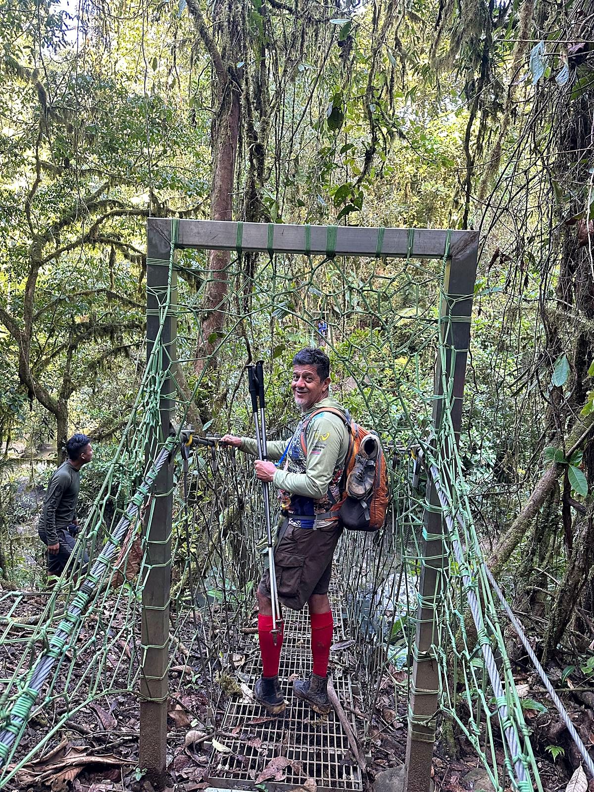
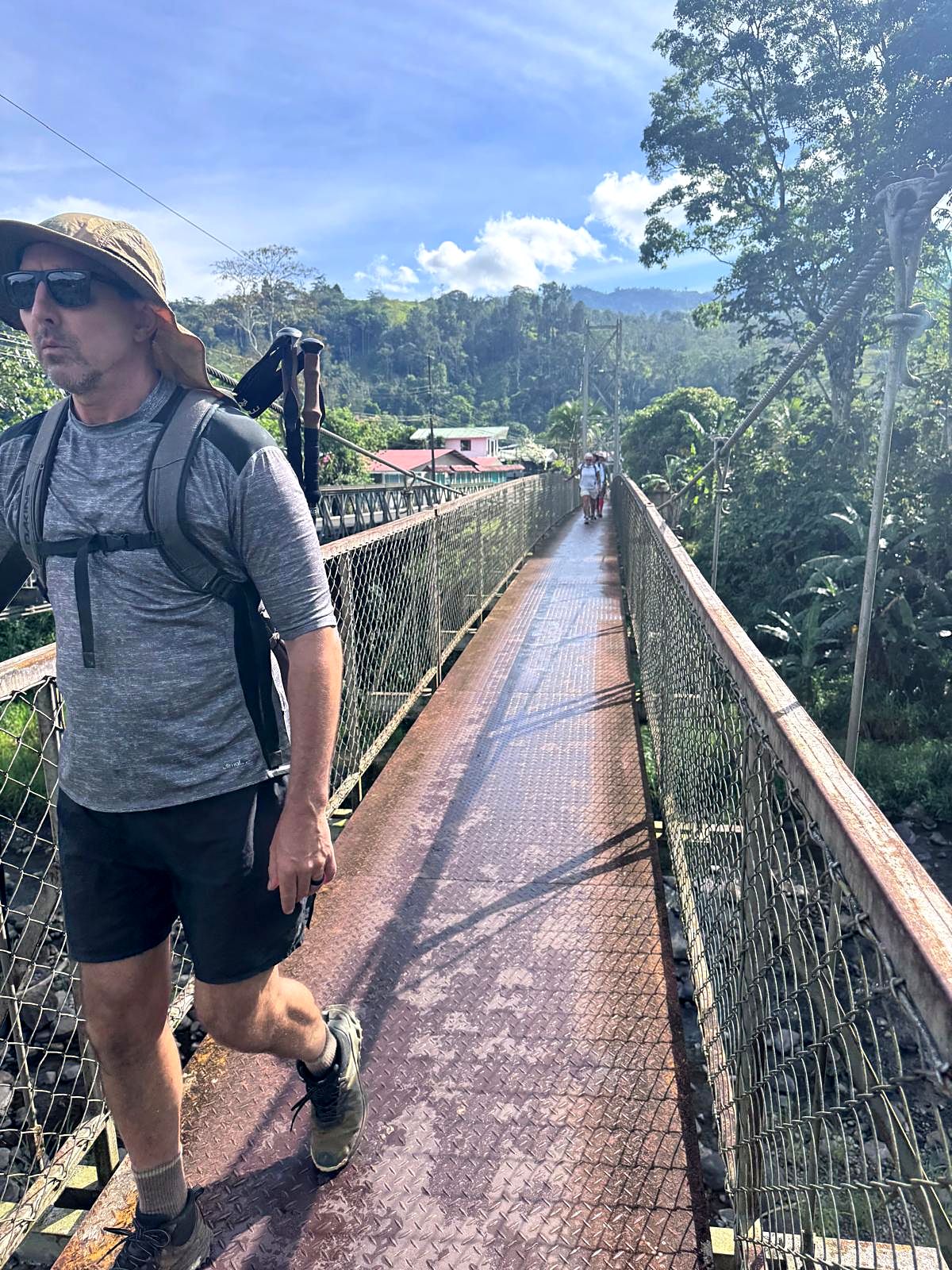
Hikers at a cable crossing over the Pacuare River

Guided trek · 15 days

El Camino de Costa Rica

Walk across Costa Rica from the Caribbean to the Pacific in 15 days, with private guides, chosen lodges and your last night at Chorro.

Very few people have walked from one ocean to the other. This is your chance.

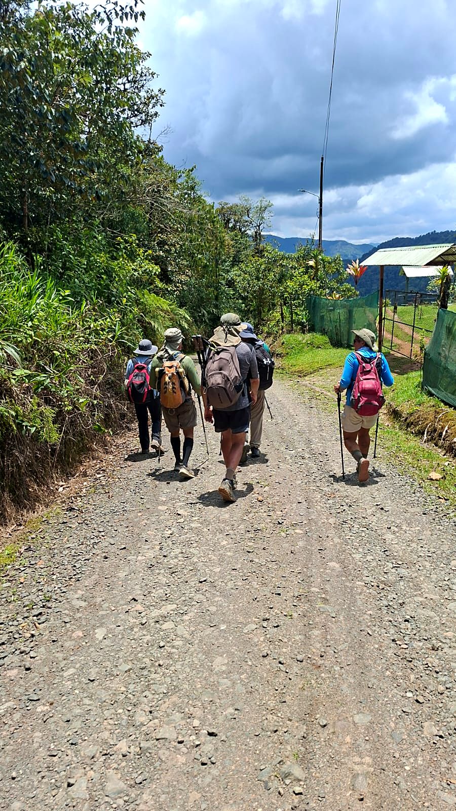
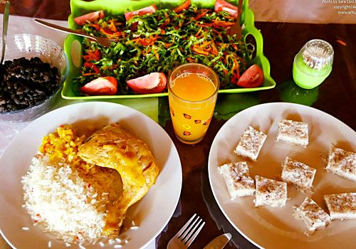
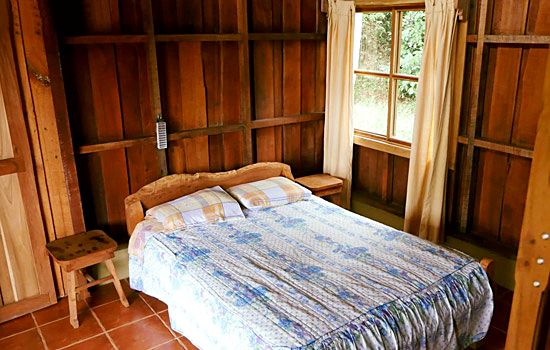
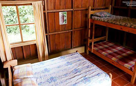
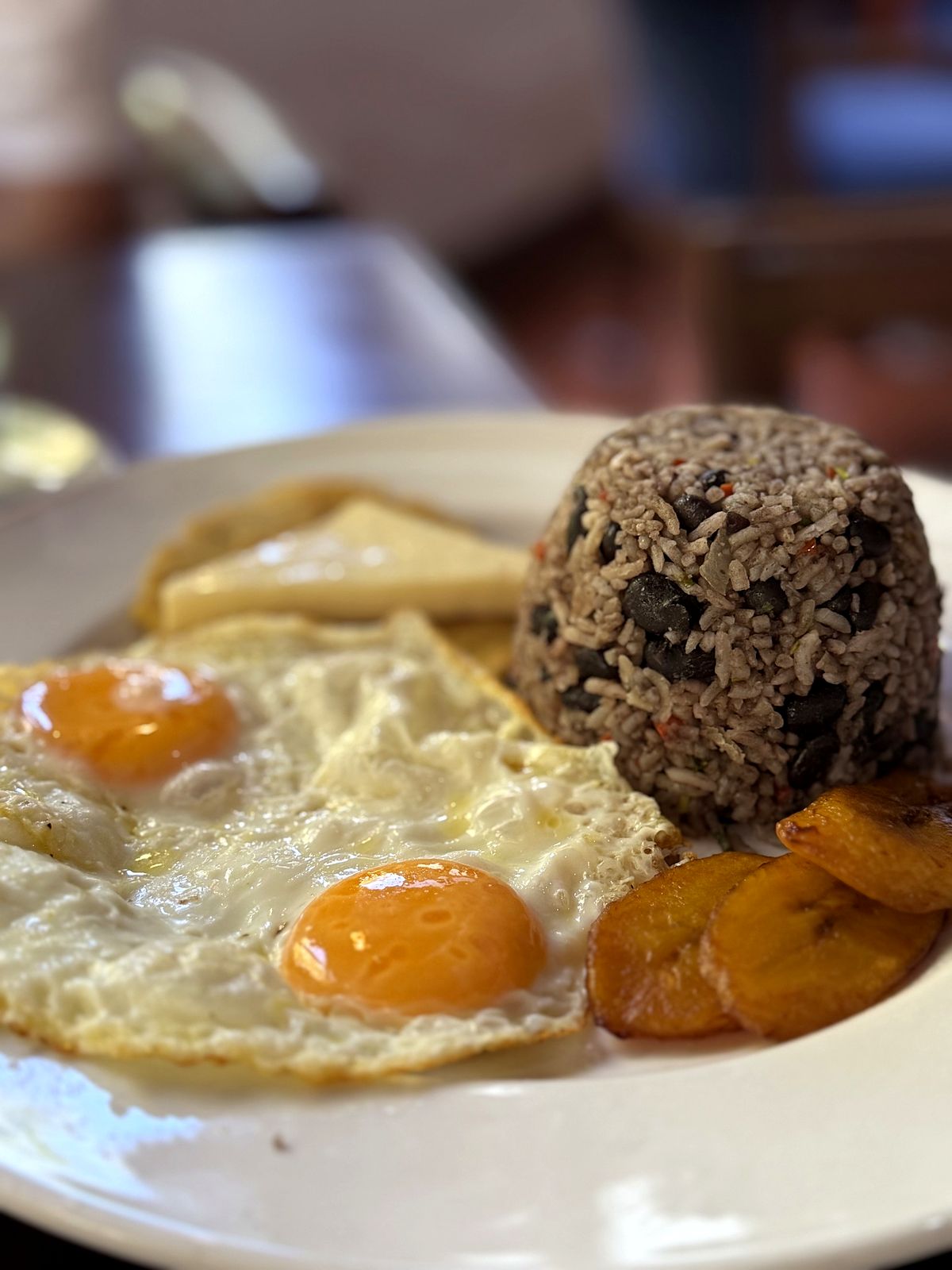
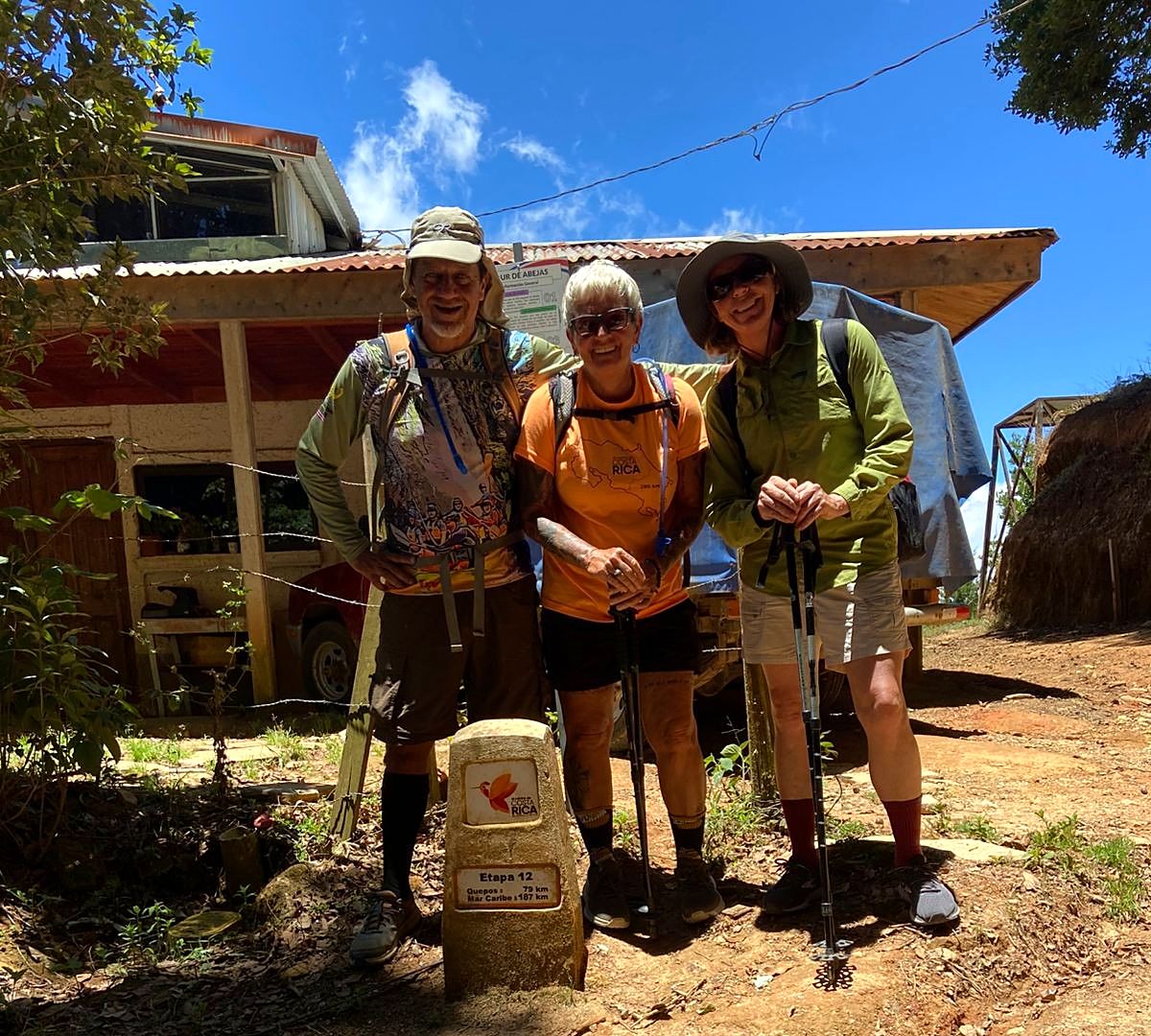
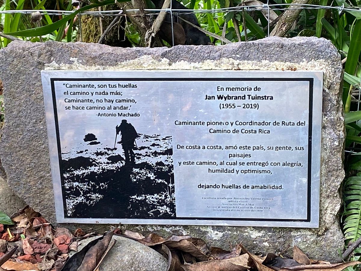
El Camino de Costa Rica is a 15-day guided trek of about 260 km, from the Caribbean village of Parismina to the Pacific at Quepos, through five ecosystems and over the continental divide. You walk 9 to 29 km a day with a bilingual guide, while a second guide drives the 4x4 with your bags. Every night ends in a lodge we chose for the route: a private room, a hot shower, a real bed and dinner.

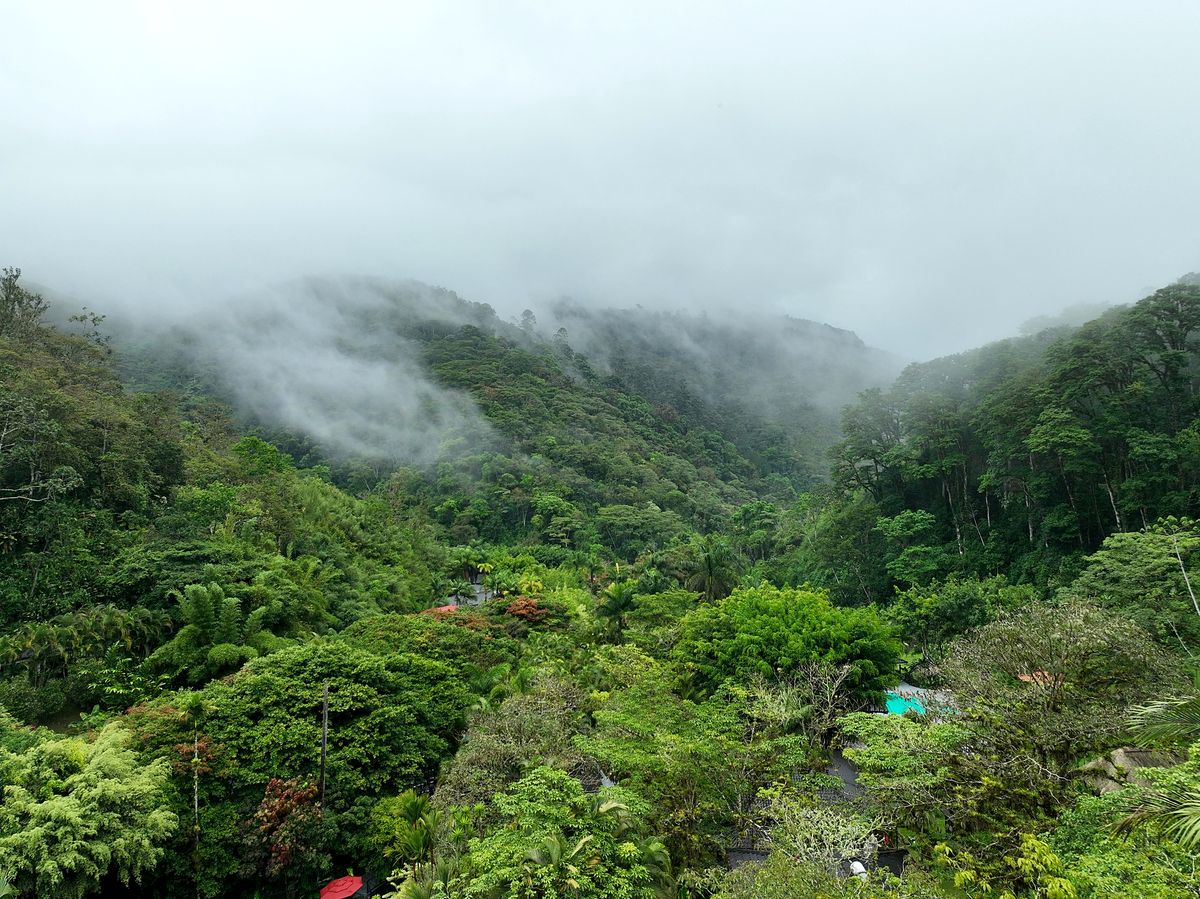
The trail follows rivers through lowland rainforest, drops into the Pacuare Canyon, climbs through coffee country and cloud forest, and tops out at 2,347 m at Empalme. Then the rivers start running toward the Pacific.

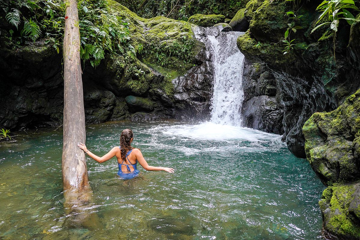
Your last night is with us at Chorro Ecolodge: a swim in the waterfall pool, a celebration dinner, and one more stage to the sea.

Day by day

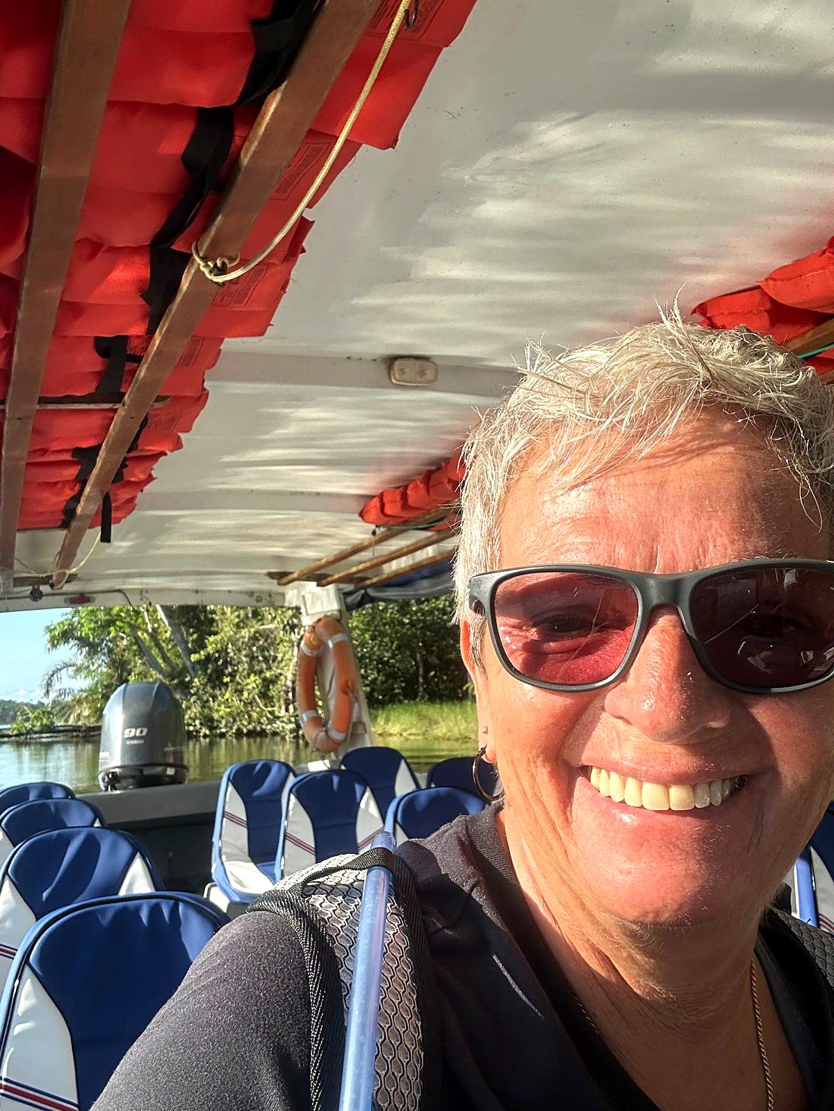
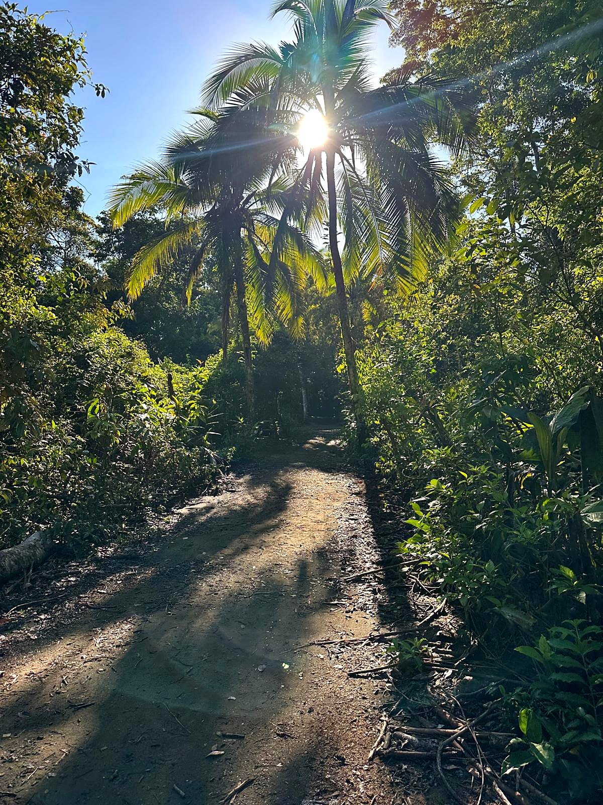
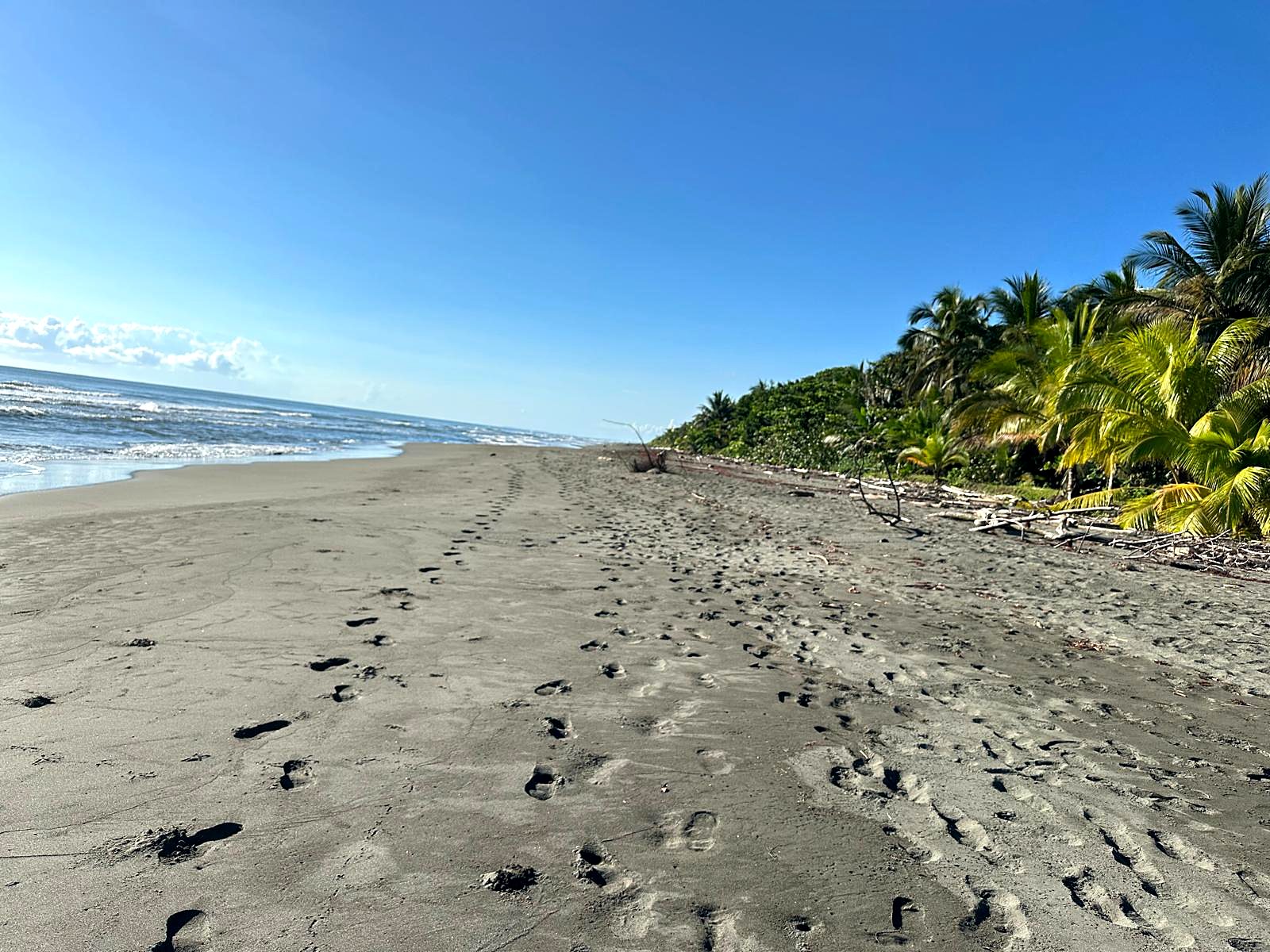
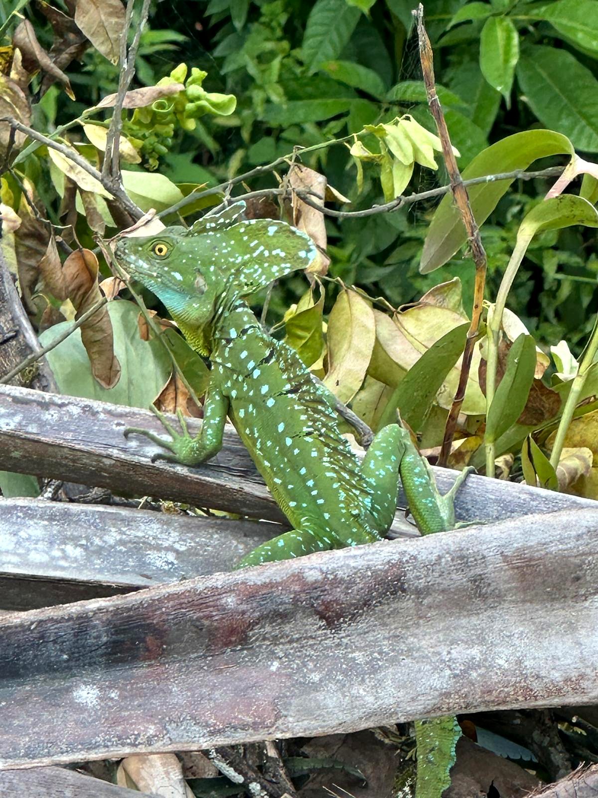
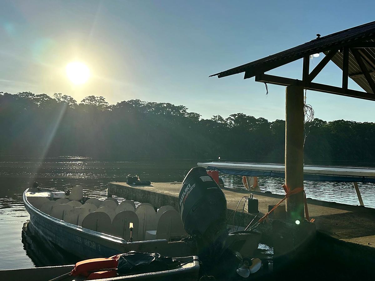
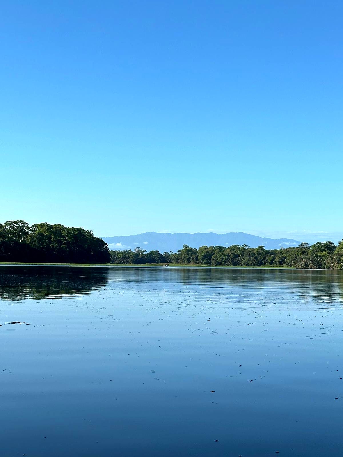
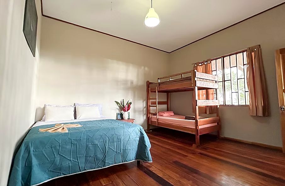
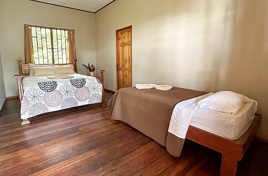
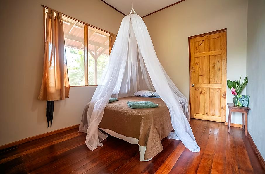
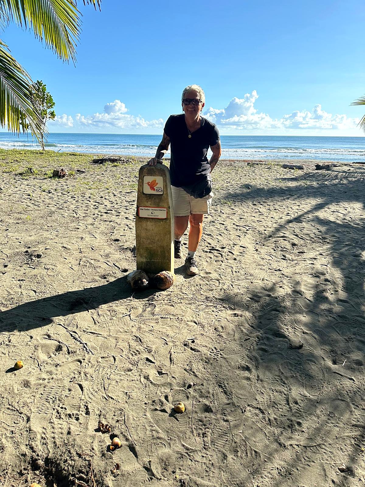
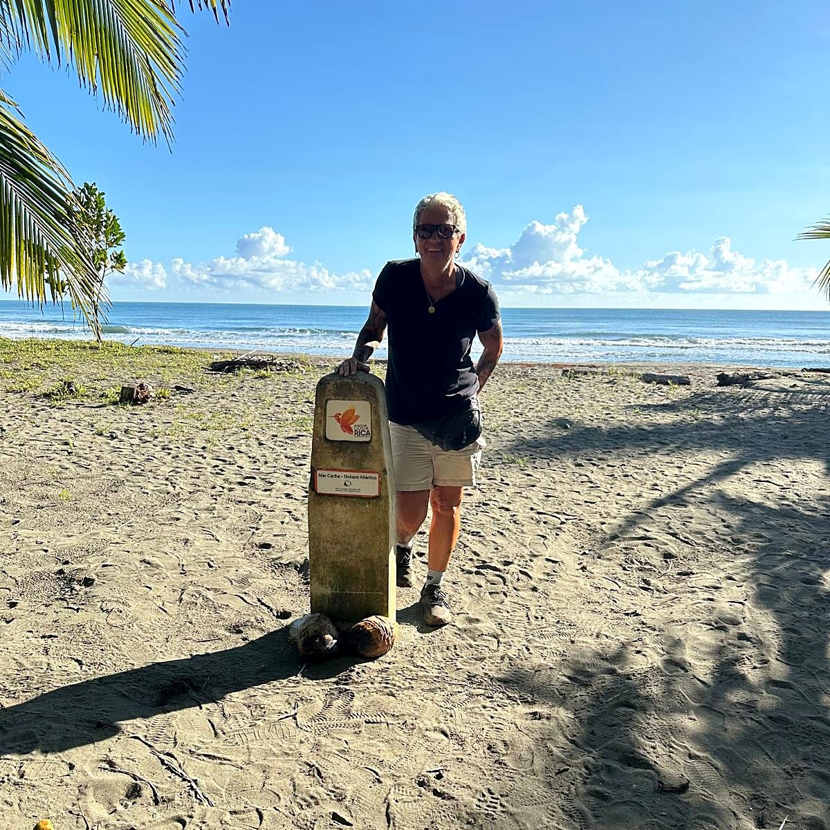
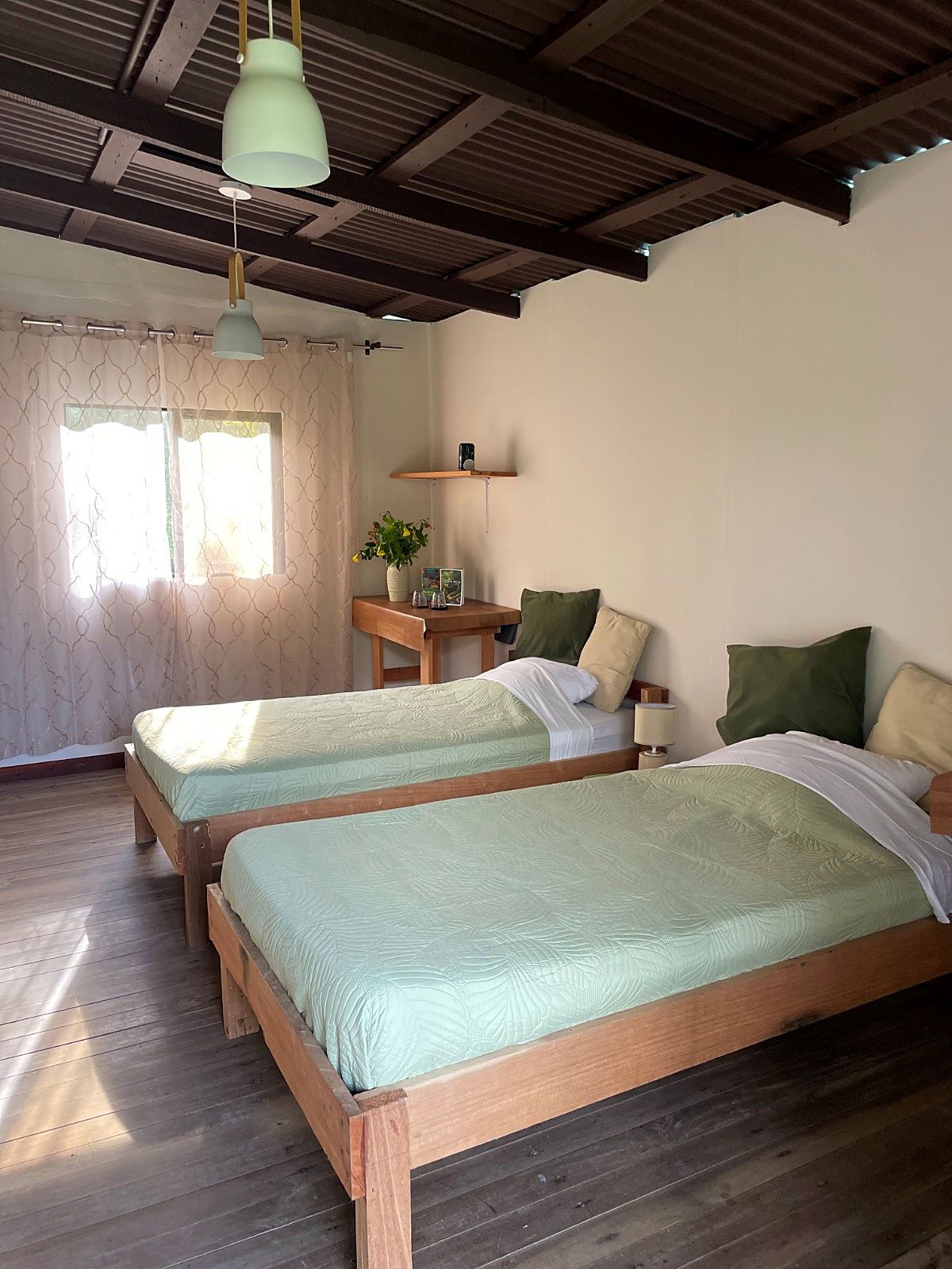
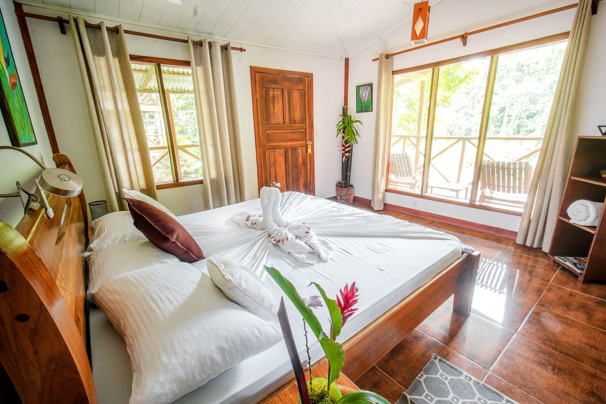
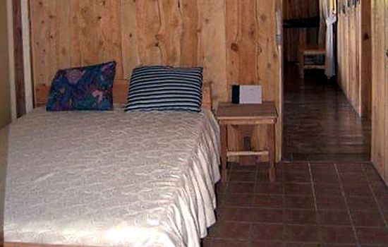
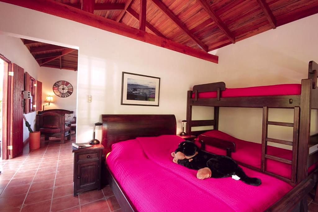
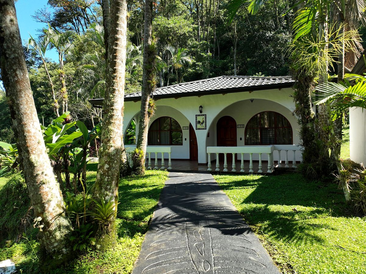
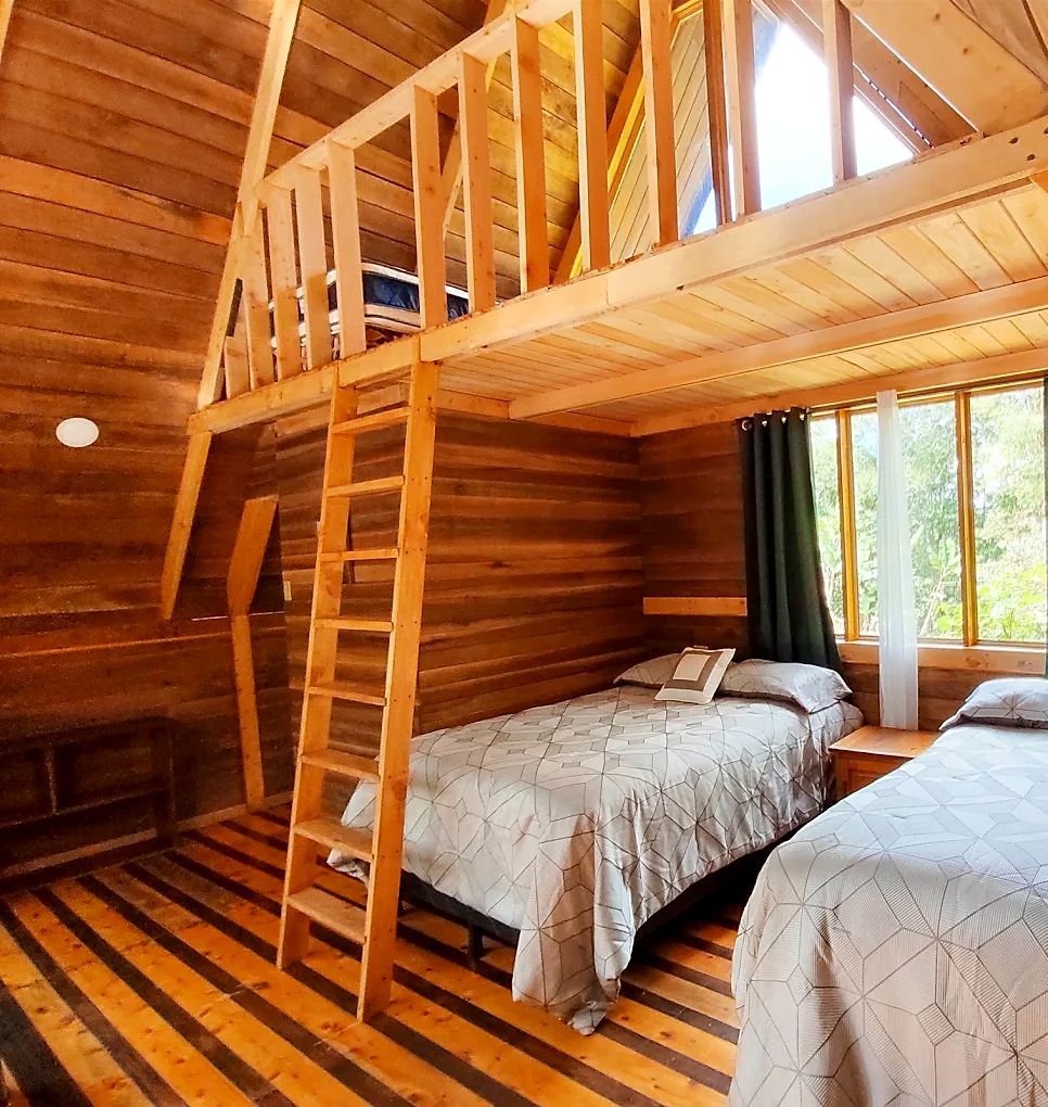
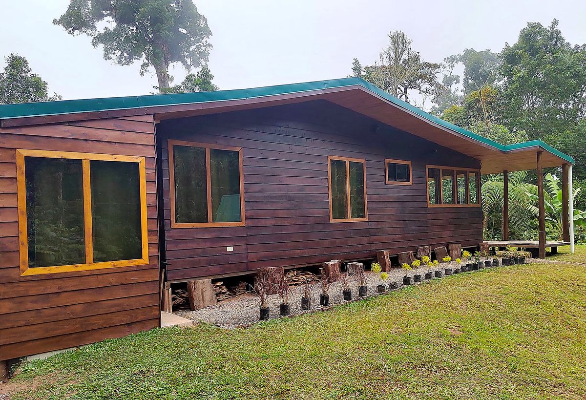
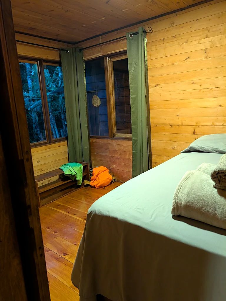
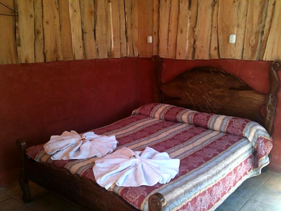
  1. Day 1 · Arrival on the Caribbean. A private boat takes you through the Pacuare River estuary, past caimans, frigate birds and mangroves, to a private reserve that no road reaches. Tonight you sleep in primary rainforest, 200 meters from the sea.Arrival by boat · Parismina · Private reserve · Sea level · All mealsA hiker on the boat to Parismina, Day 1Sun through the palms on a rainforest pathThe empty Caribbean beach at ParisminaLeaves and bamboo on the forest floor at the reserveDay 1 of the Camino de Costa Rica, on the way to ParisminaDay 1 of the Camino de Costa Rica, on the way to ParisminaDay 1 of the Camino de Costa Rica, on the way to ParisminaDay 1 of the Camino de Costa Rica, on the way to ParisminaDay 1 of the Camino de Costa Rica, on the way to ParisminaDay 1 of the Camino de Costa Rica, on the way to ParisminaDay 1 of the Camino de Costa Rica: a room at Pacuare Reserve, the private reserve near ParisminaDay 1 of the Camino de Costa Rica: Pacuare Reserve, the private reserve near ParisminaDay 1 of the Camino de Costa Rica: a room at Pacuare Reserve, the private reserve near ParisminaDay 1 of the Camino de Costa Rica: a room at Pacuare Reserve, the private reserve near ParisminaDay 1 of the Camino de Costa Rica: a room at Pacuare Reserve, the private reserve near Parismina
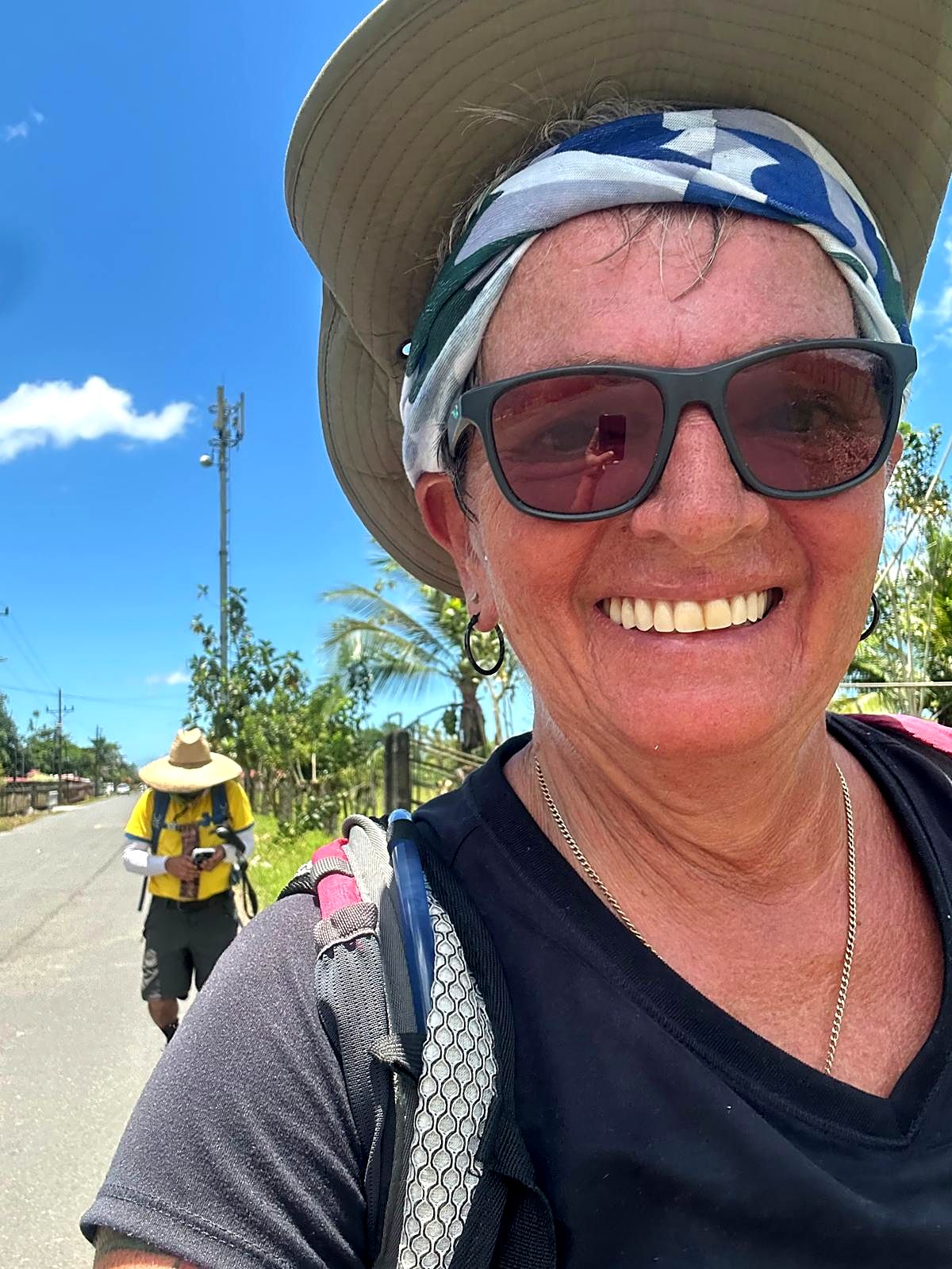
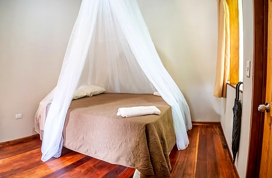
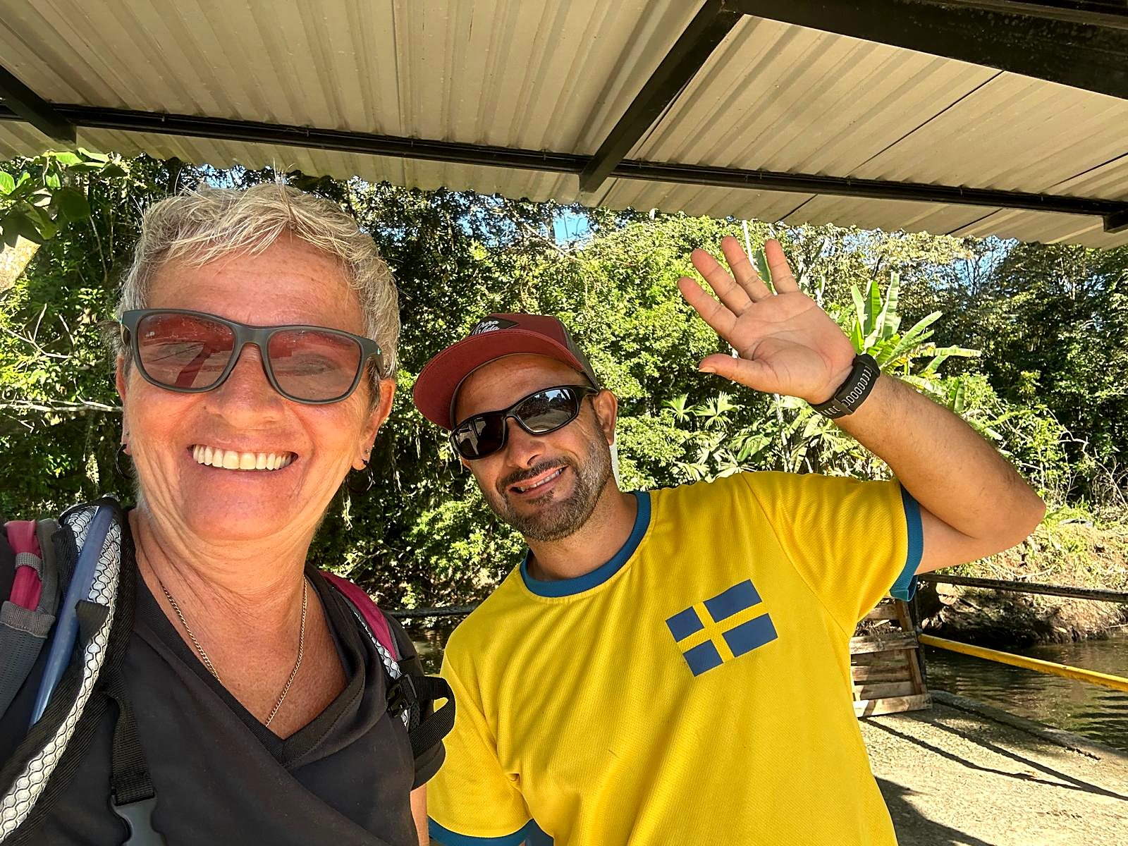
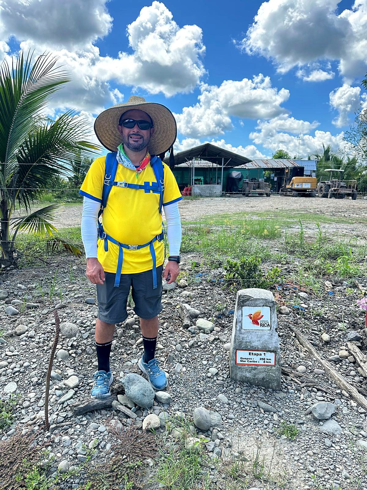
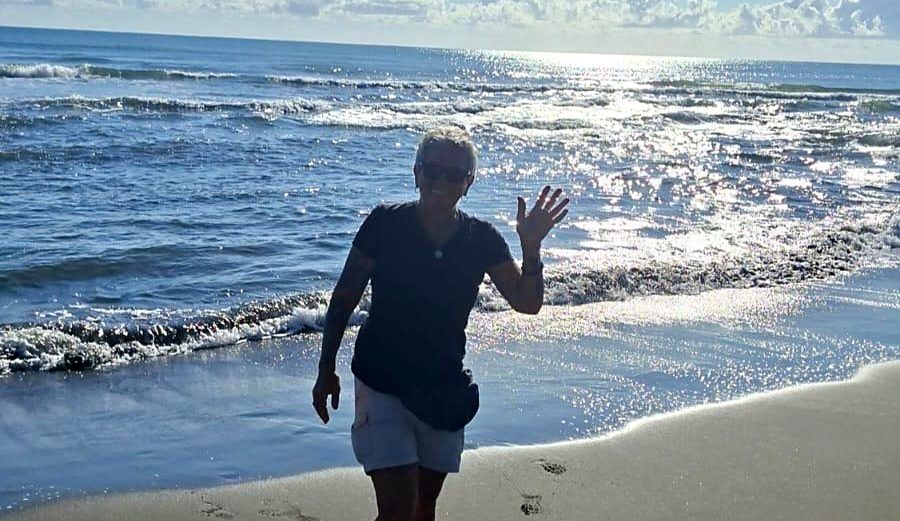
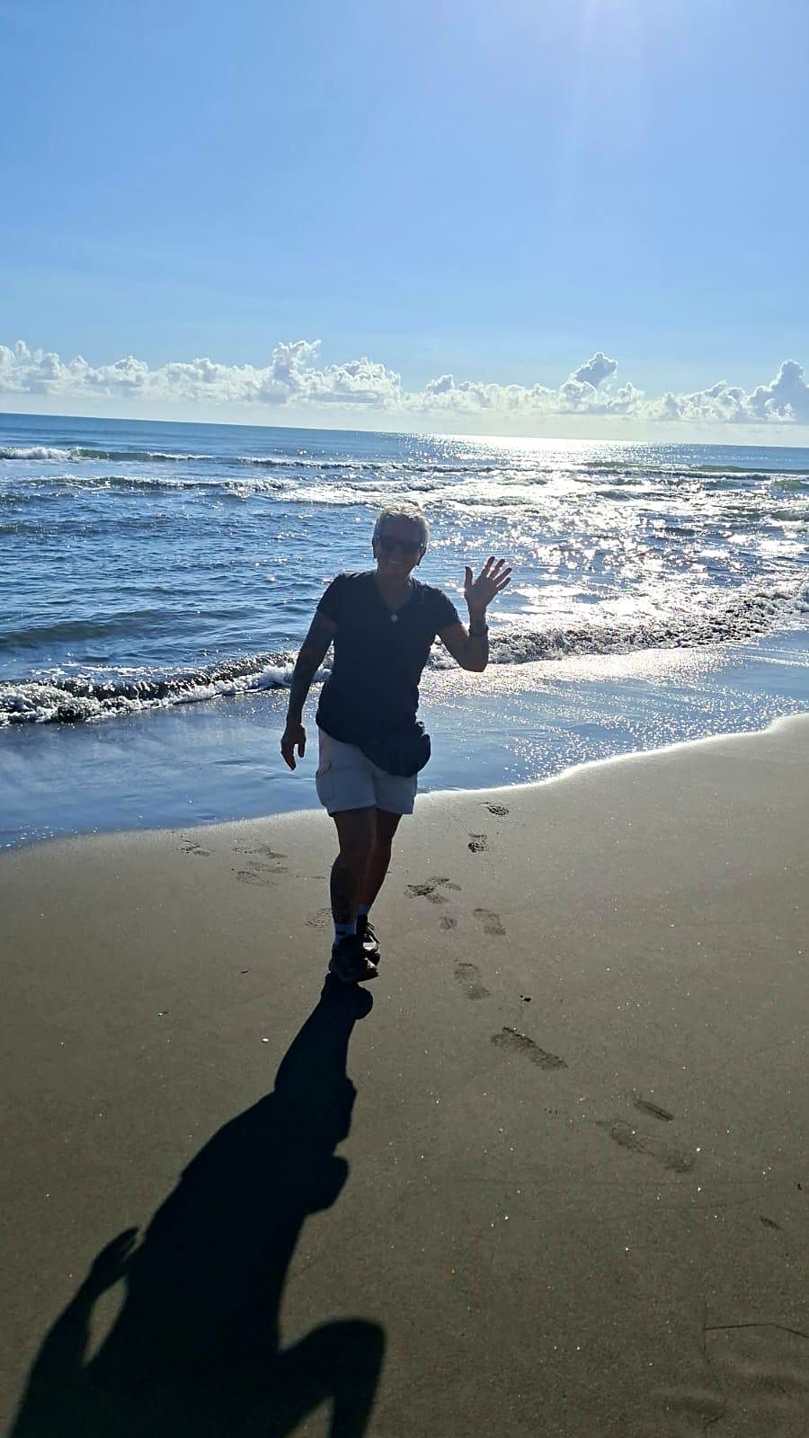
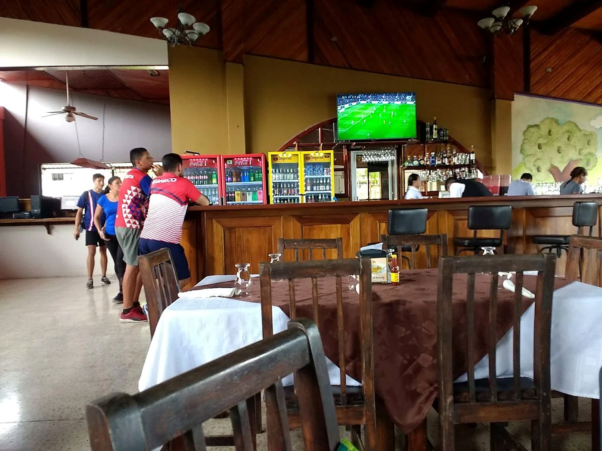
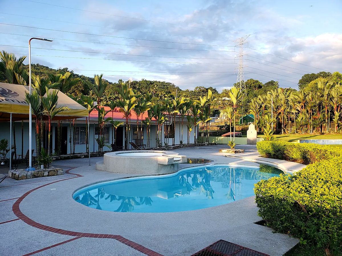
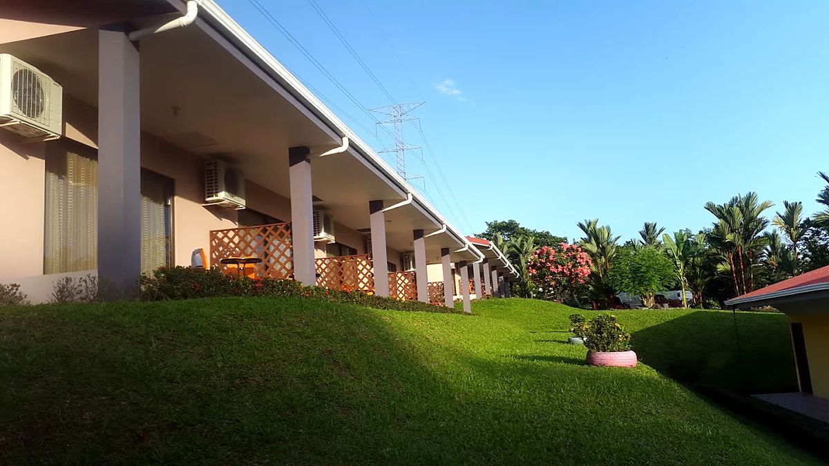
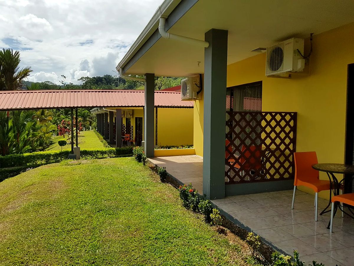
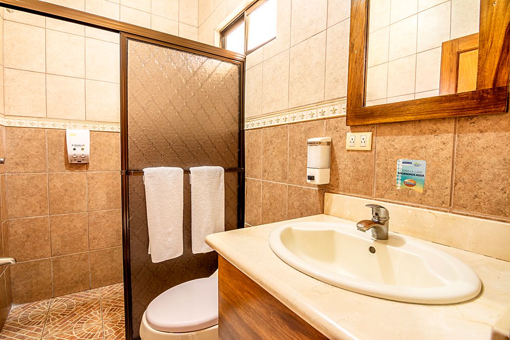
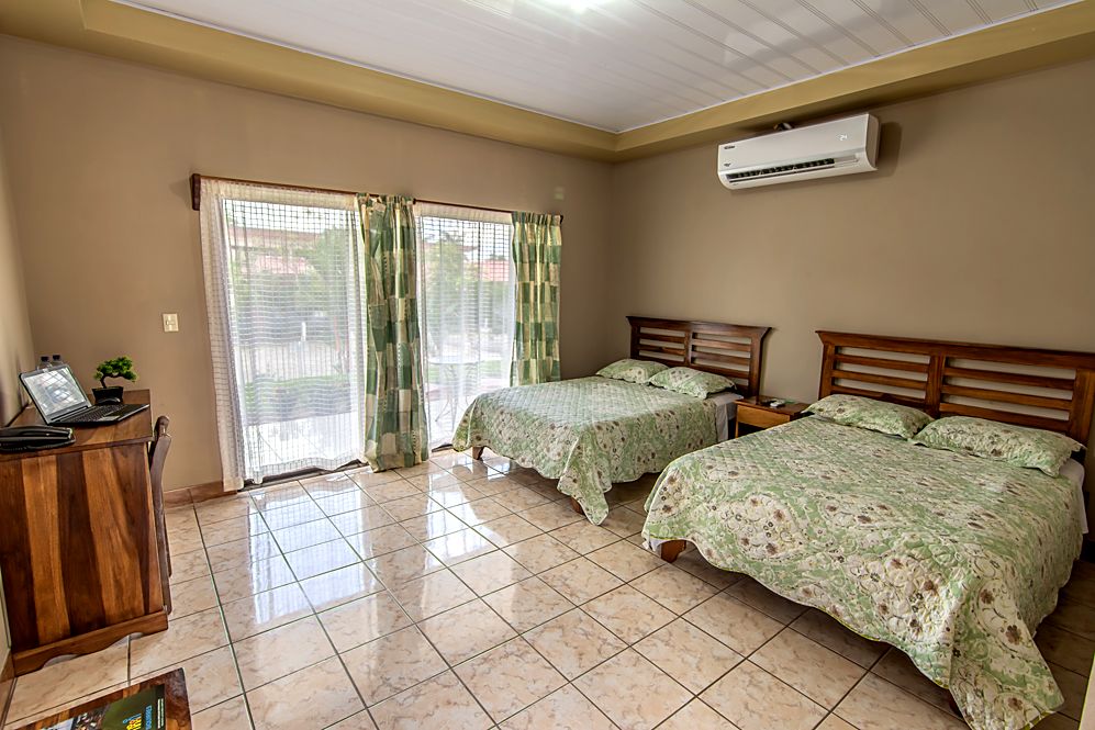
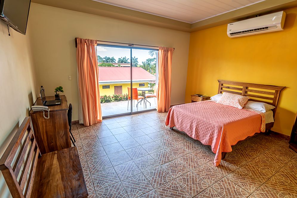
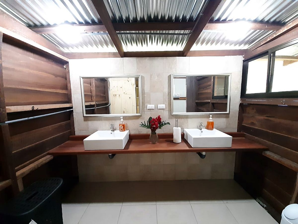
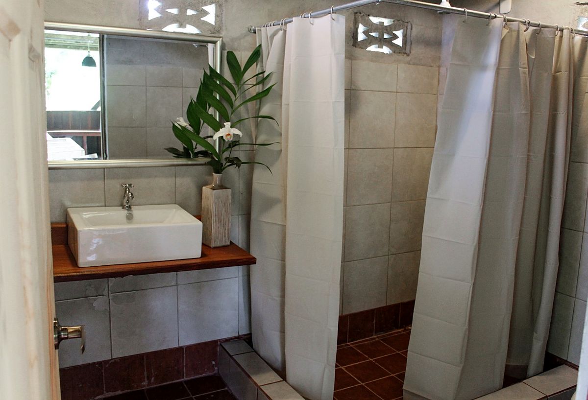
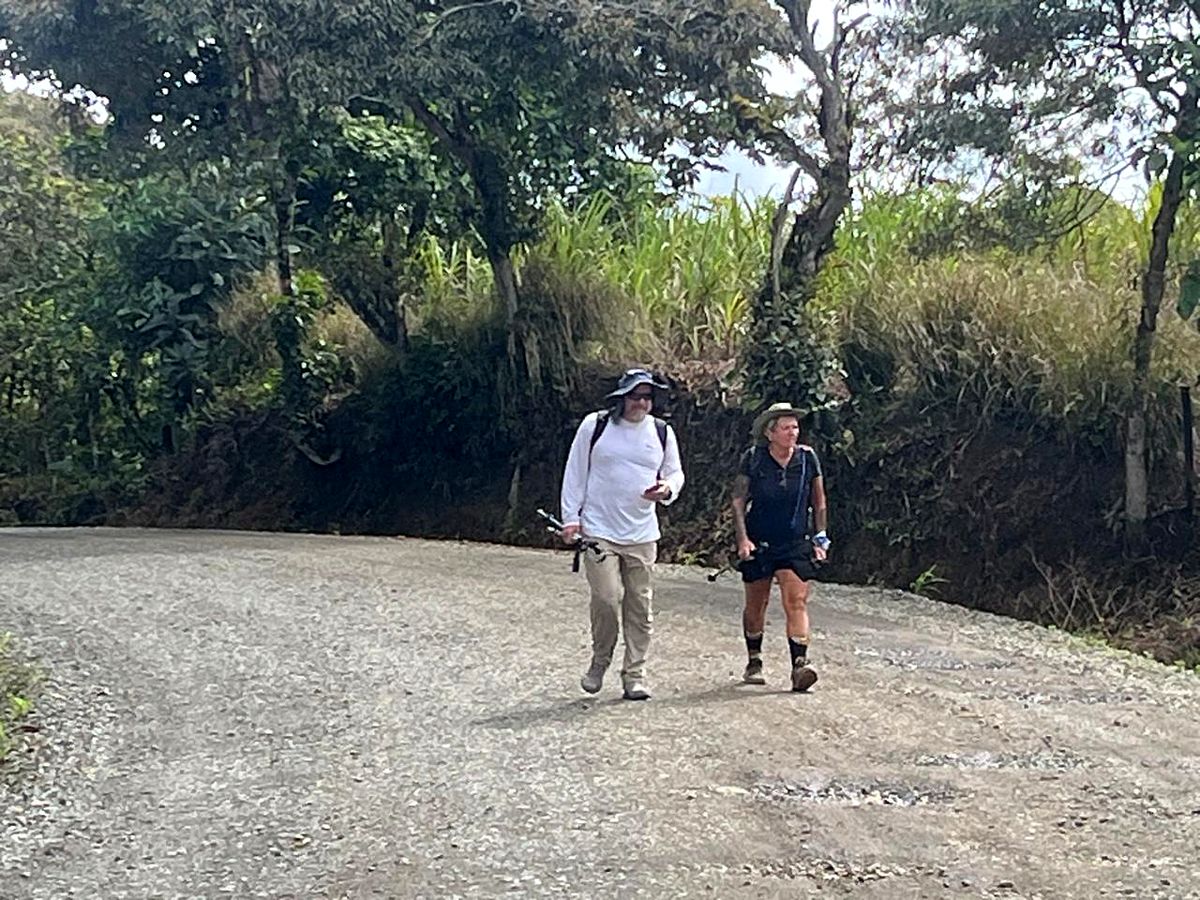
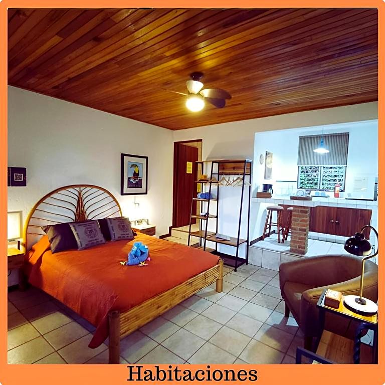
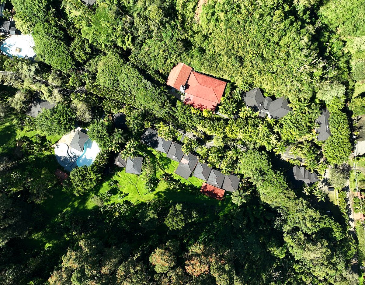
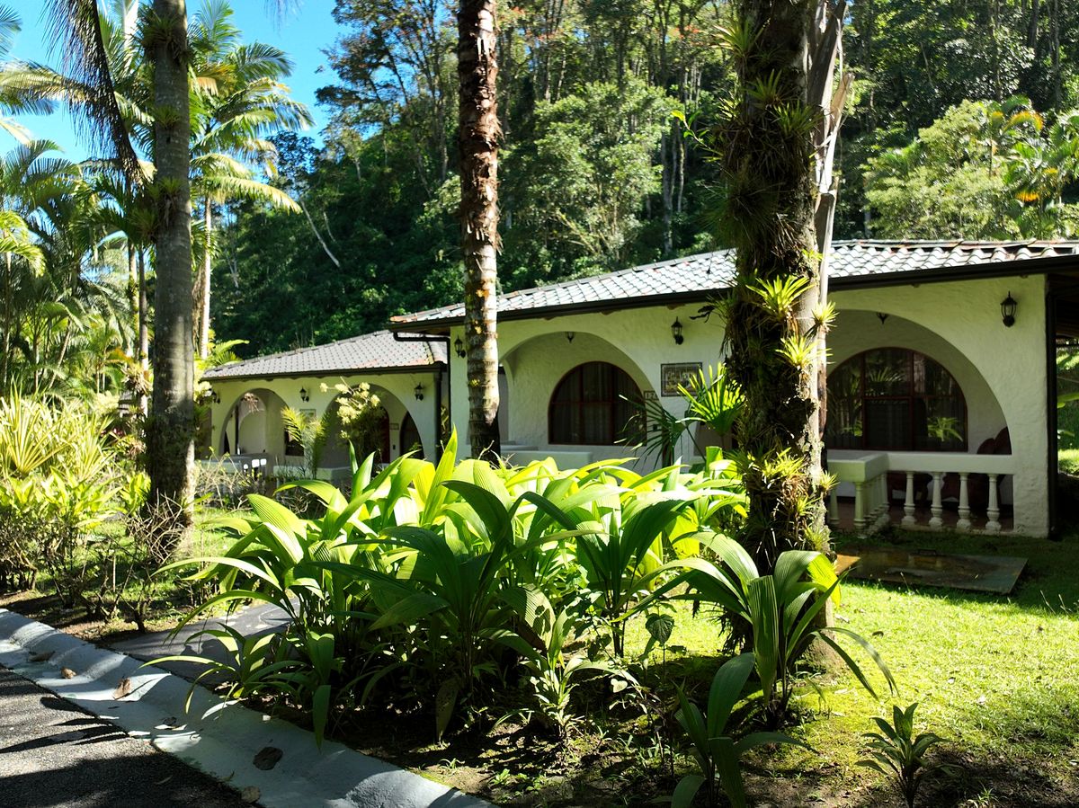
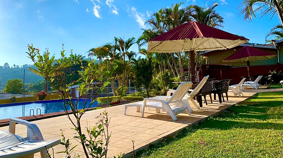
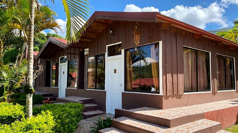
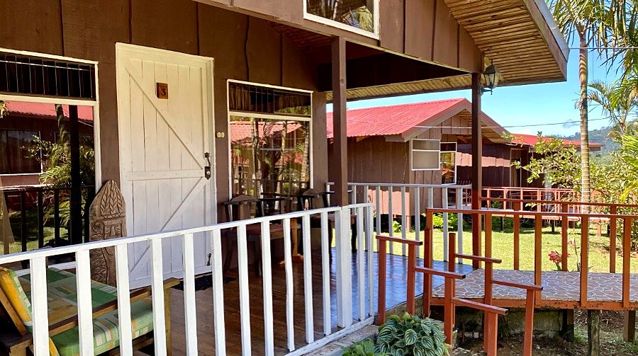
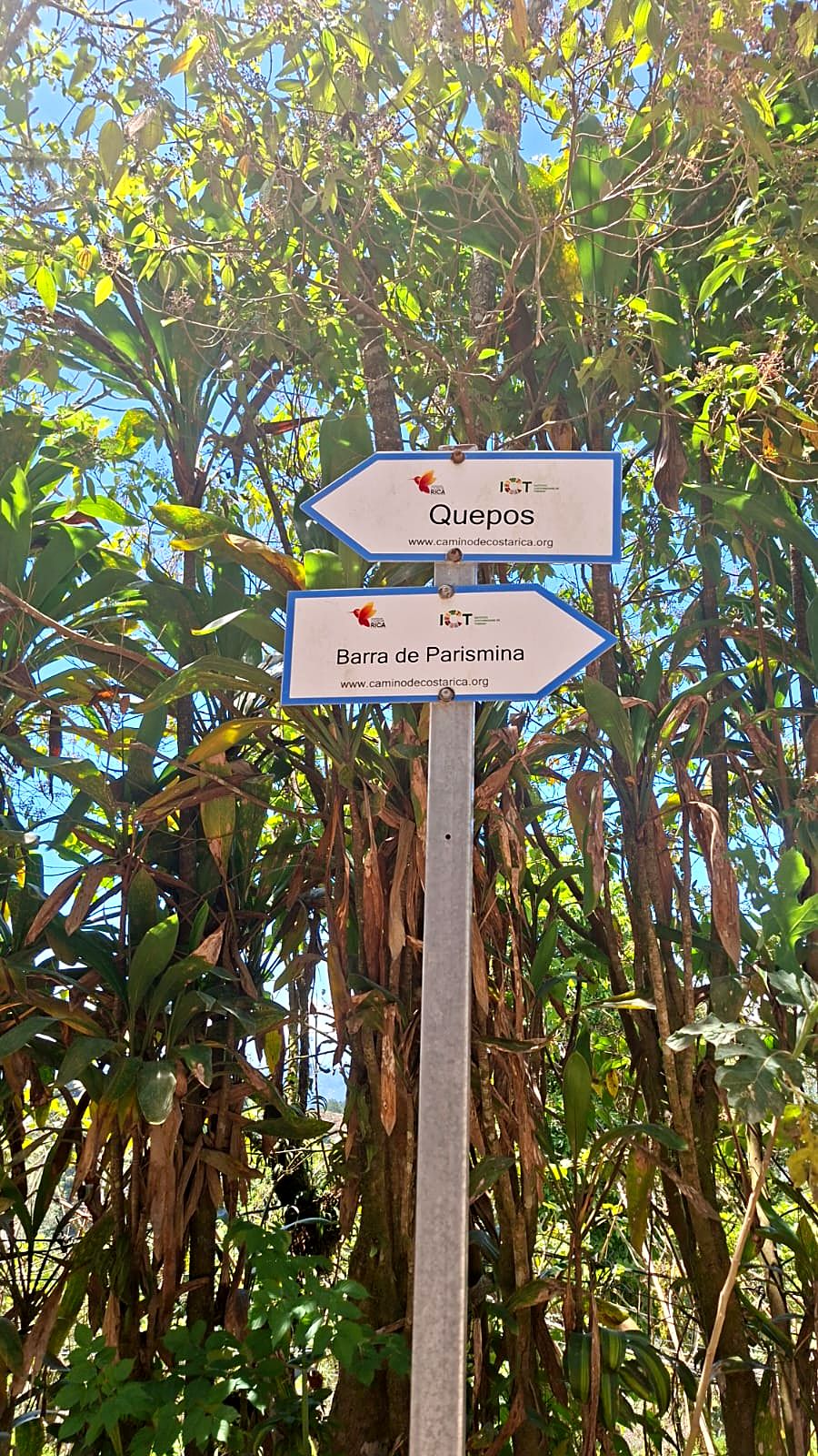
  2. Day 2 · Into the rainforest. The first stage starts on the Caribbean shore and winds through banana farms and tropical countryside. It is long and flat, and it sets the tone: you are crossing a whole country.Stages 1A and 1B · Parismina → Muelle Goshen → Cimarrones · 29 km · 105 m up · sea level to 60 m · Mountain hotel with a pool · All mealsTwo hikers smiling at a roadside stop, Day 2A hiker at the start of Stage 1Setting off along the Caribbean shore with polesA hiker waving from the Caribbean surfDay 2 of the Camino de Costa Rica, on the way to CimarronesDay 2 of the Camino de Costa Rica, on the way to CimarronesDay 2 of the Camino de Costa Rica, on the way to CimarronesDay 2 of the Camino de Costa Rica: the restaurant at Hotel Pacuare in CimarronesDay 2 of the Camino de Costa Rica: the pool at Hotel Pacuare in CimarronesDay 2 of the Camino de Costa Rica: a room at Hotel Pacuare in CimarronesDay 2 of the Camino de Costa Rica: a room at Hotel Pacuare in CimarronesDay 2 of the Camino de Costa Rica: the bathroom at Hotel Pacuare in CimarronesDay 2 of the Camino de Costa Rica: a room at Hotel Pacuare in CimarronesDay 2 of the Camino de Costa Rica: a room at Hotel Pacuare in Cimarrones
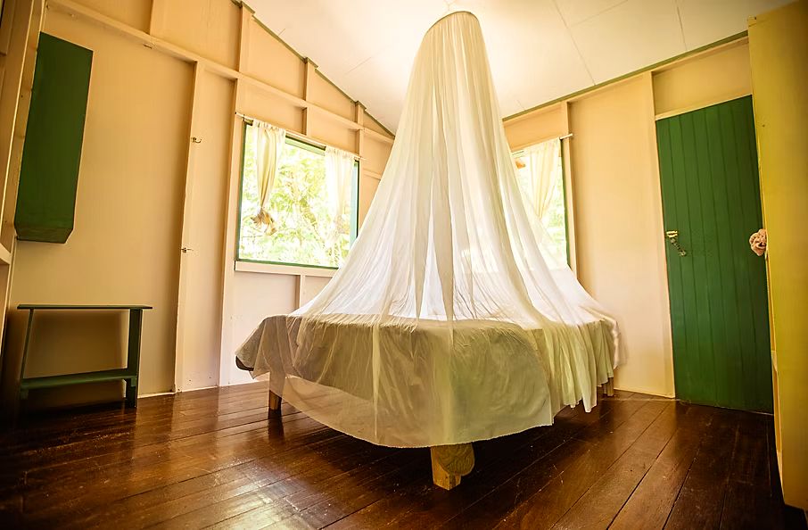
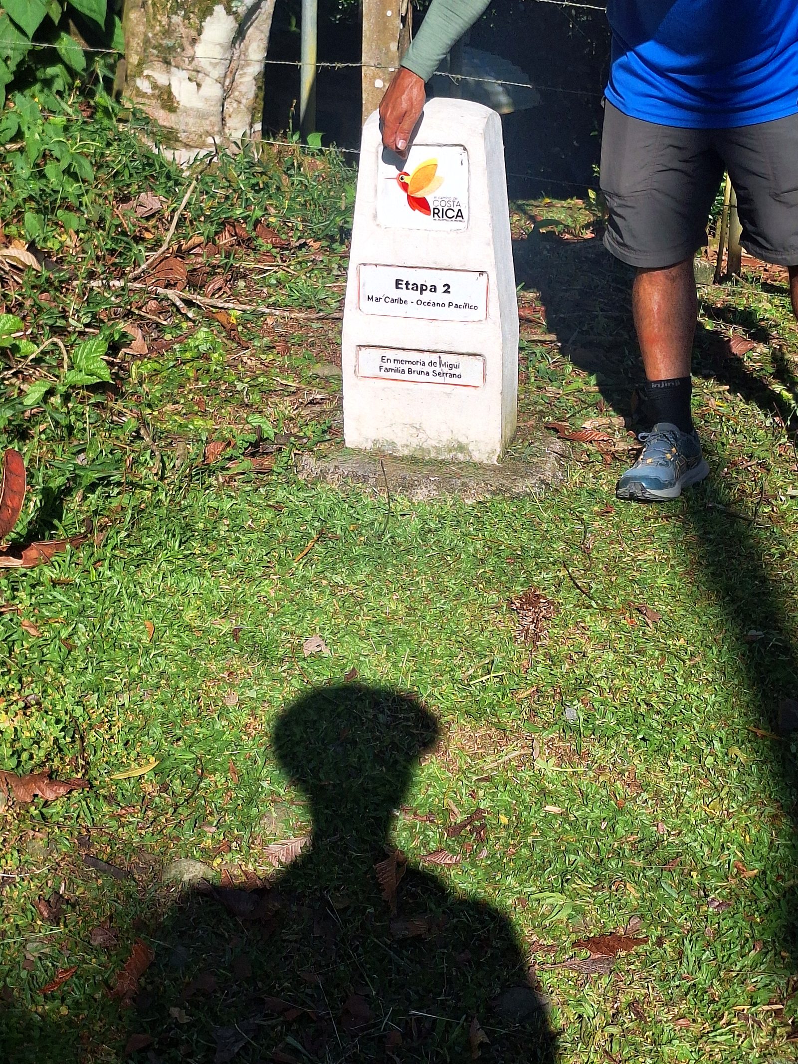
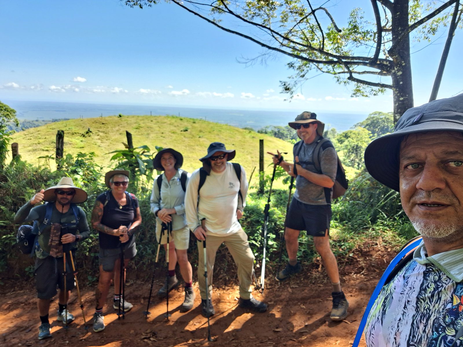
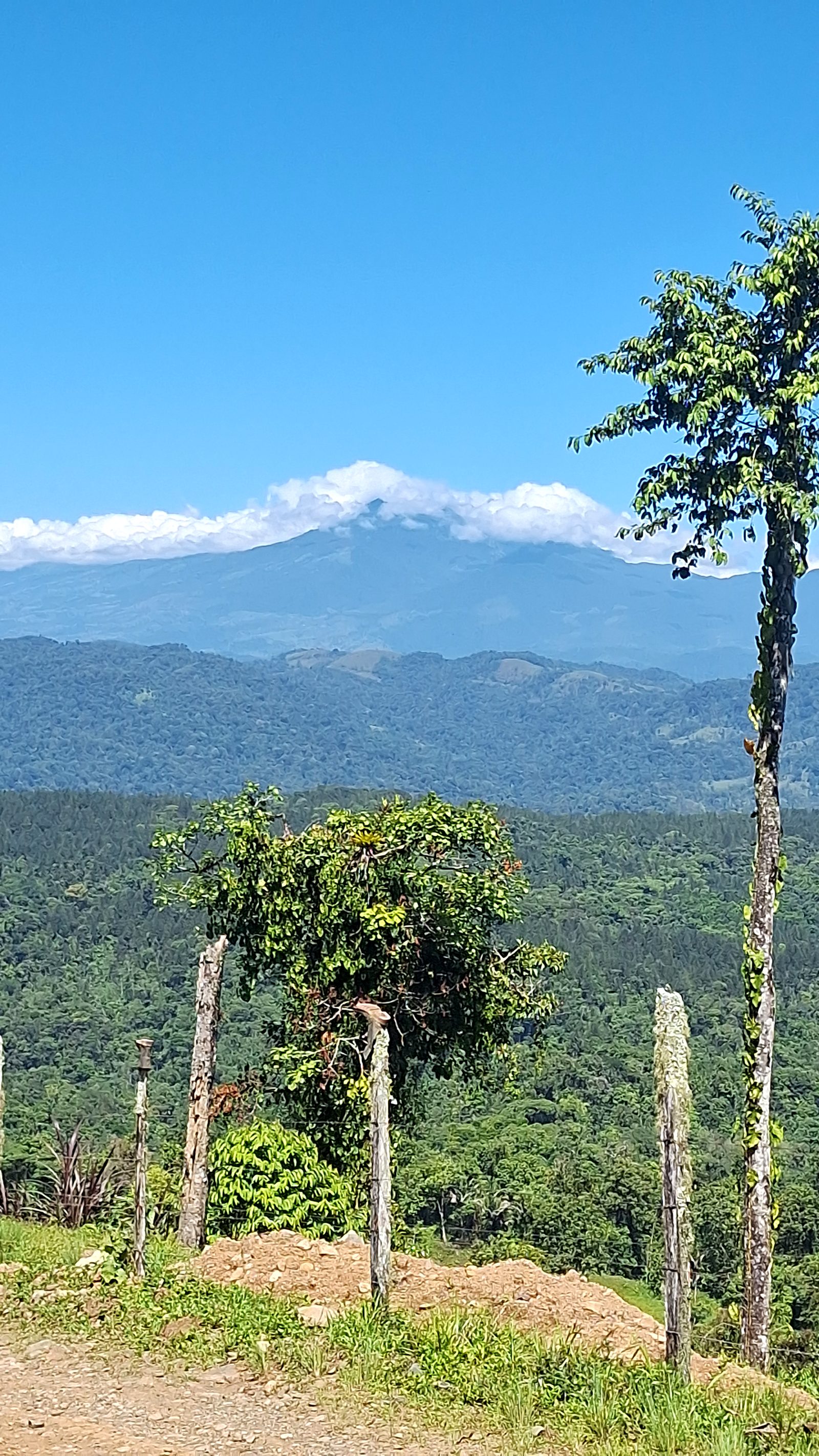
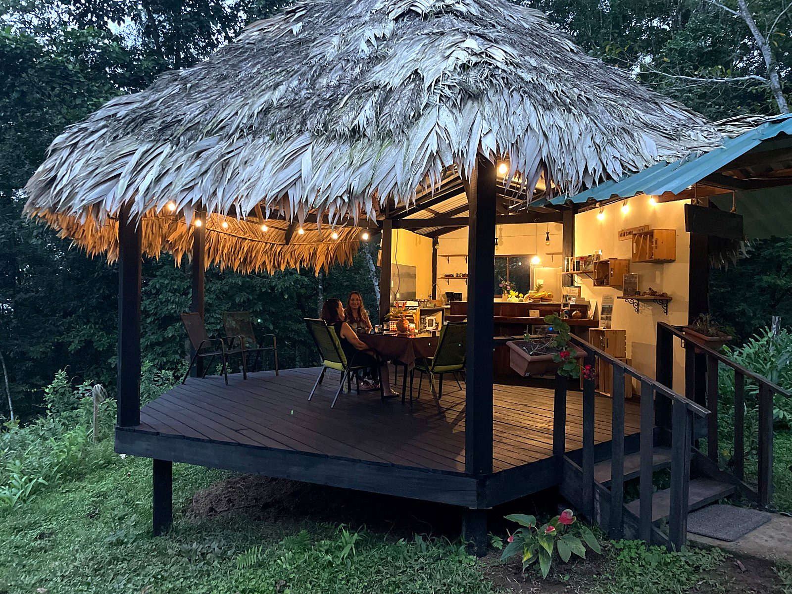
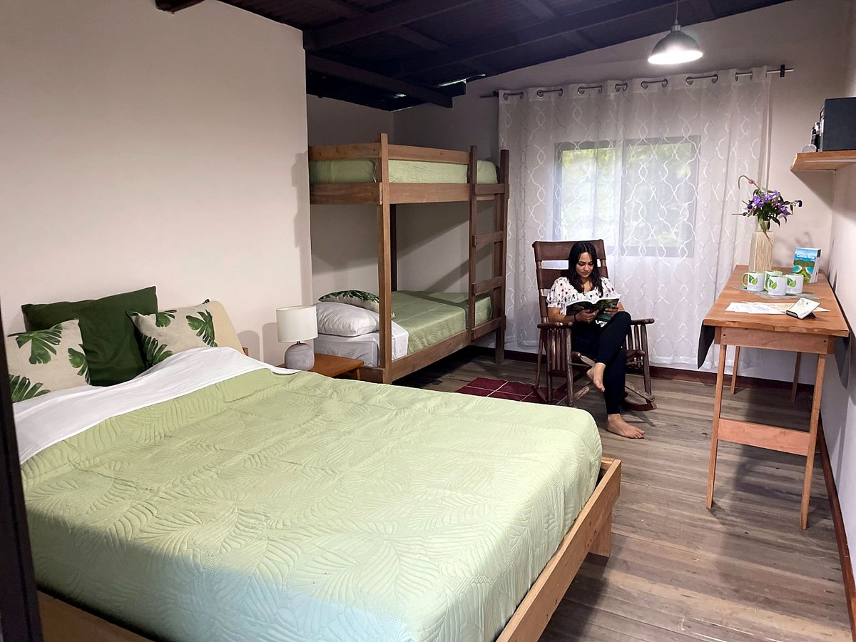
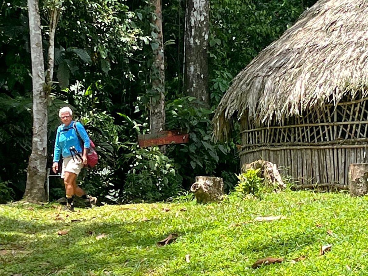
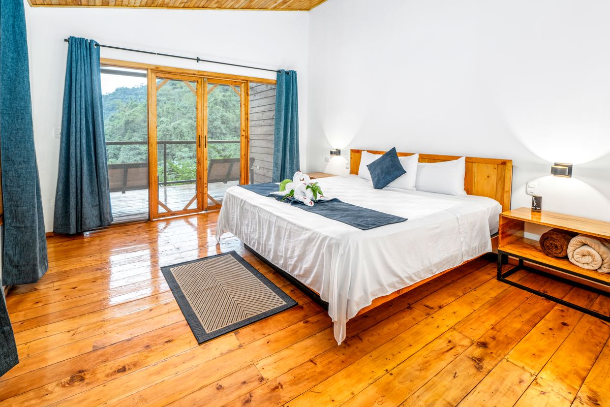
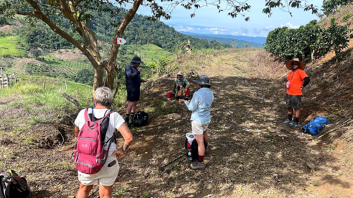
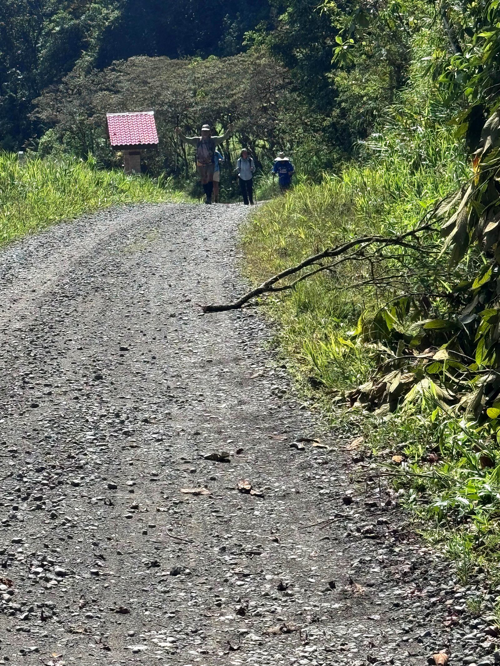
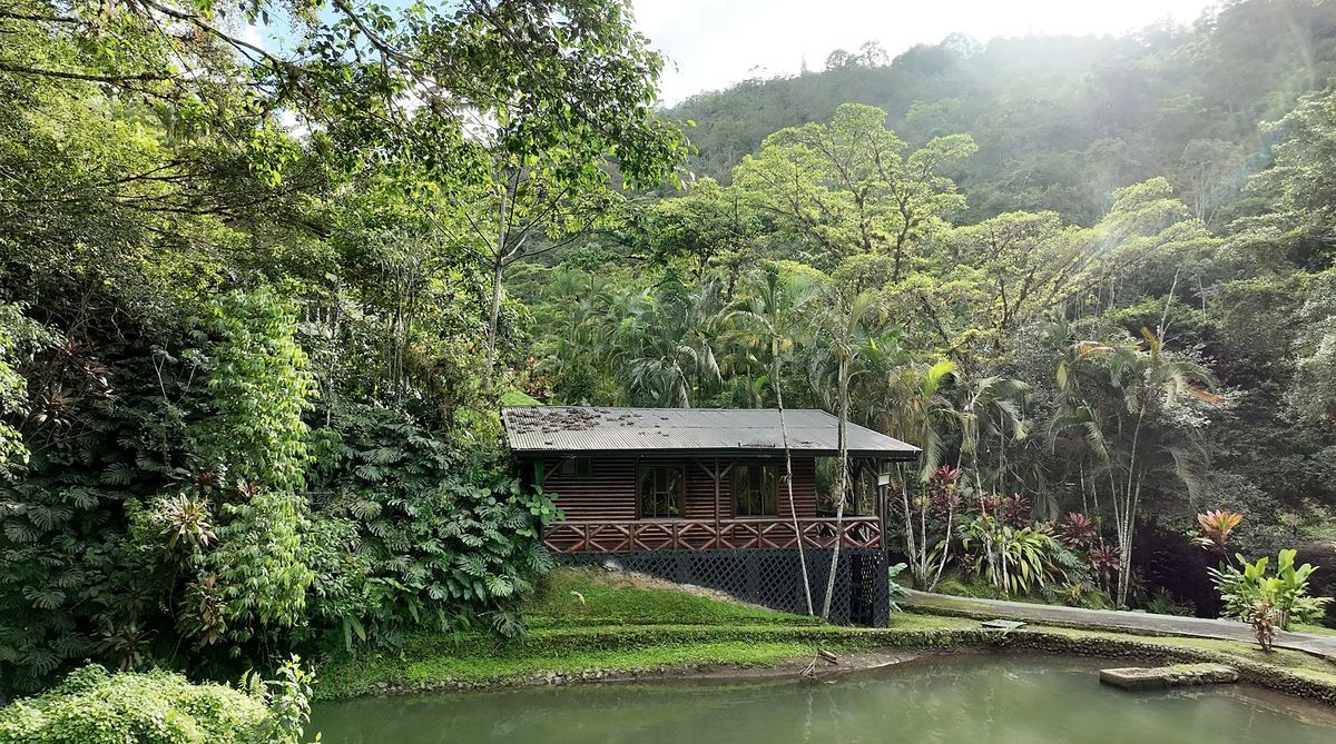
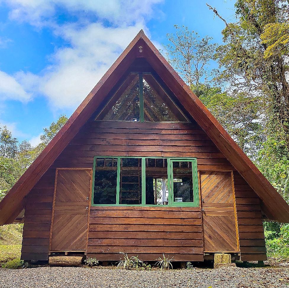
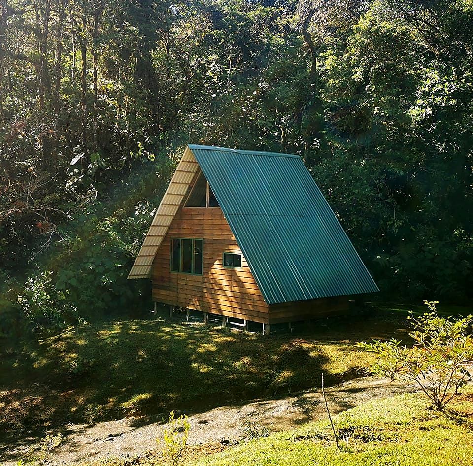
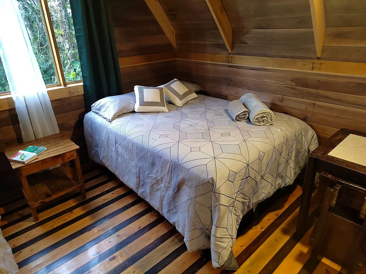
  3. Day 3 · Rivers, waterfalls and the first climb. A shorter stage along the Pacuare watershed, with river crossings, hidden waterfalls and the first real ascent into protected forest and tapir country.Stage 2 · Cimarrones → Las Brisas de Pacuarito · 14.6 km · 725 m up, 196 m down · 60 m to 610 m · Rainforest eco-lodge · All mealsA trail marker on the way to Brisas Pacuarito, Day 3The group on a hilltop above the Pacuare watershedMountains and a palm tree on the climbA thatched cabin at the rainforest eco-lodgeDay 3 of the Camino de Costa Rica: a room at Barbilla Rainforest EcolodgeDay 3 of the Camino de Costa Rica: Barbilla Rainforest EcolodgeDay 3 of the Camino de Costa Rica, on the way to Las Brisas de PacuaritoDay 3 of the Camino de Costa Rica, on the way to Las Brisas de PacuaritoDay 3 of the Camino de Costa Rica: the bathroom at Barbilla Rainforest EcolodgeDay 3 of the Camino de Costa Rica: the bathroom at Barbilla Rainforest EcolodgeDay 3 of the Camino de Costa Rica: a room at Barbilla Rainforest Ecolodge
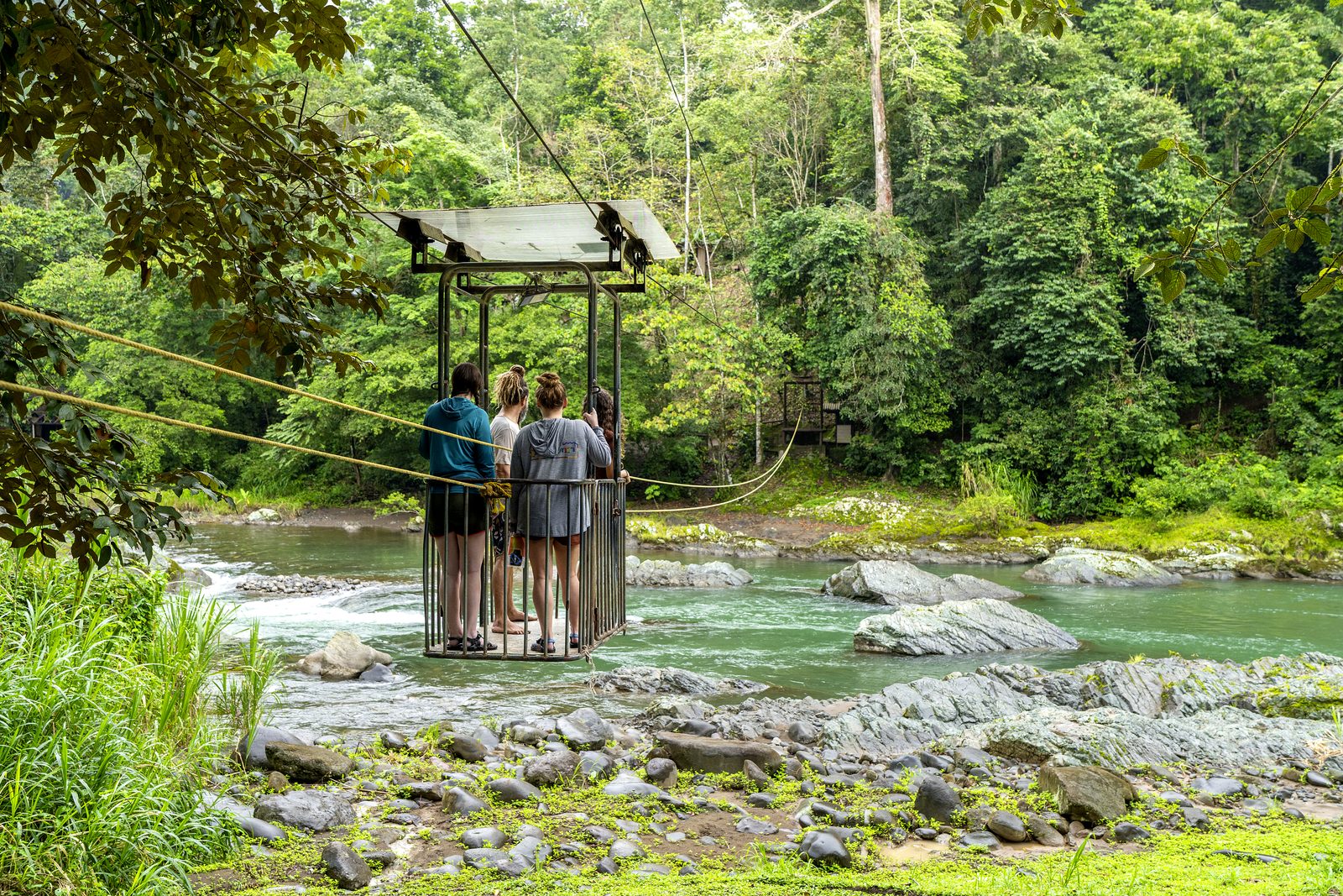
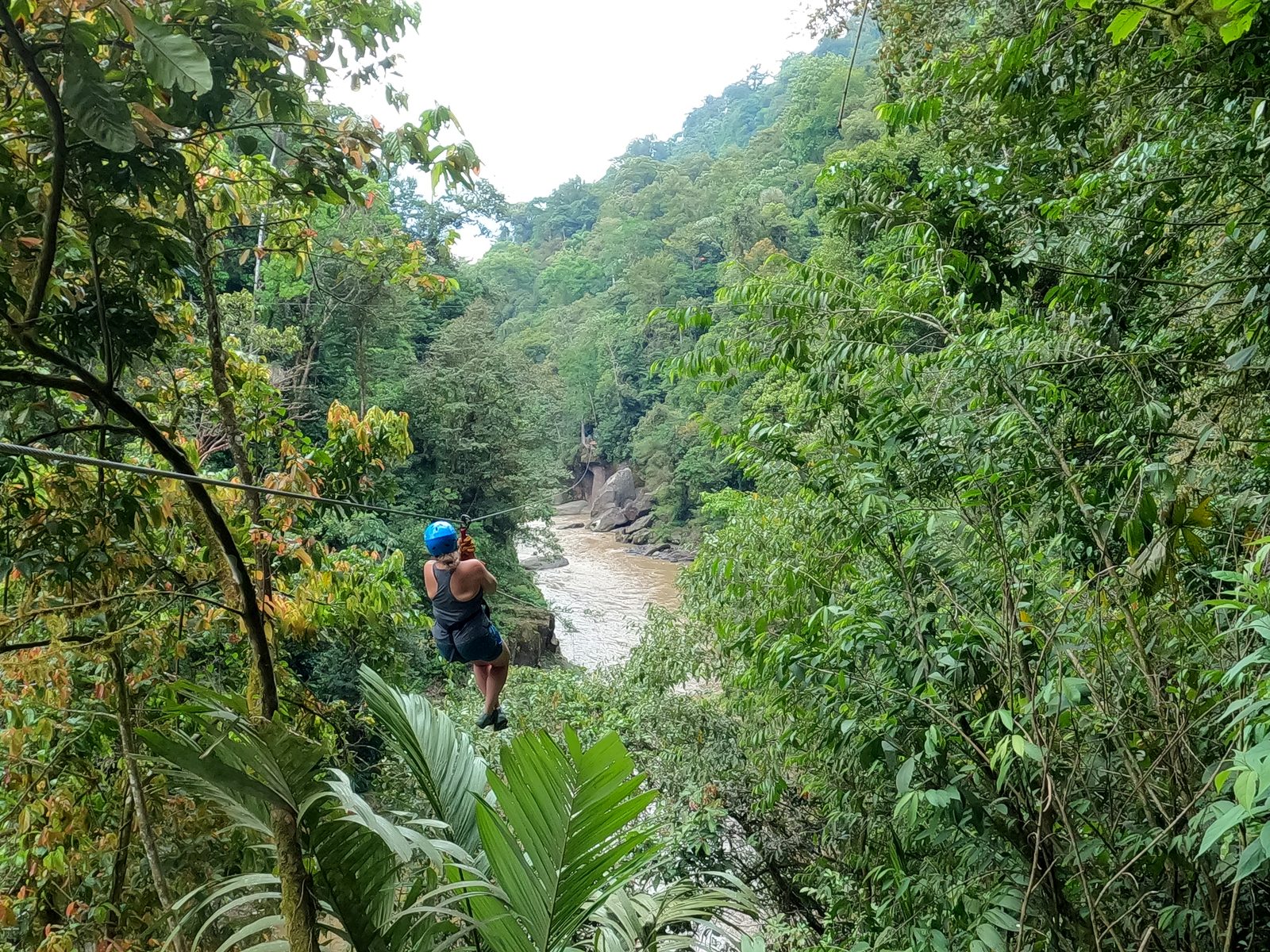
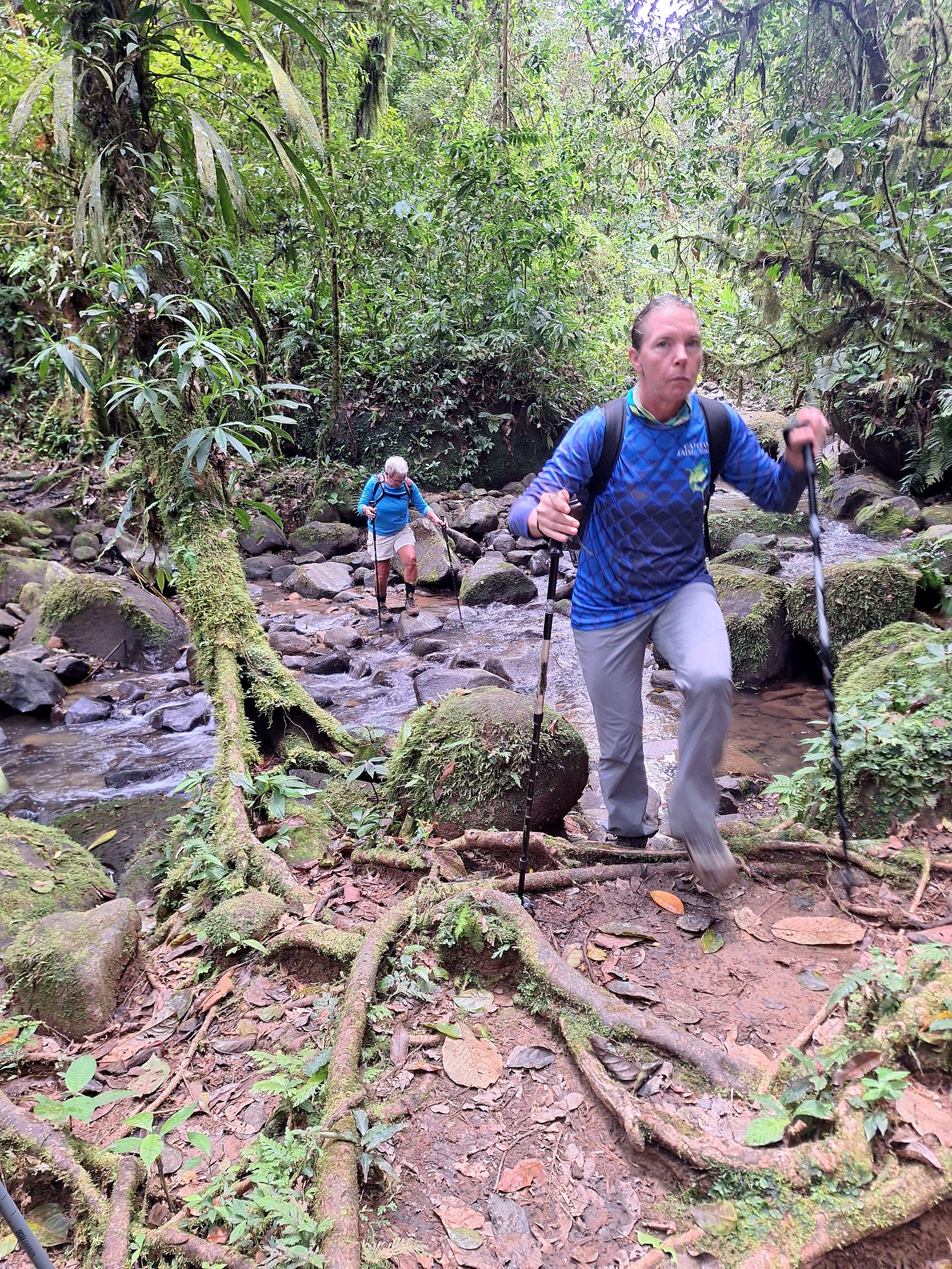
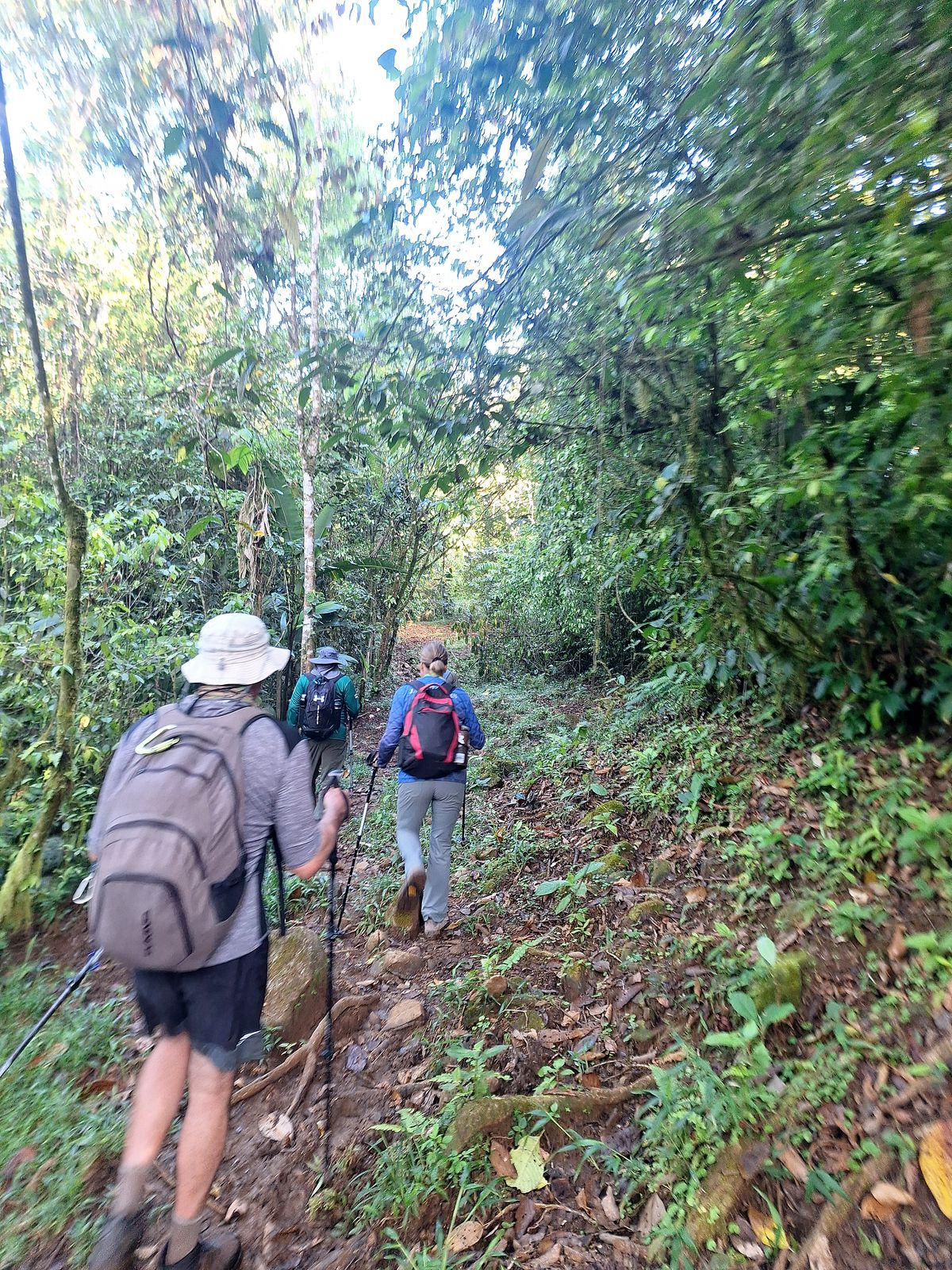
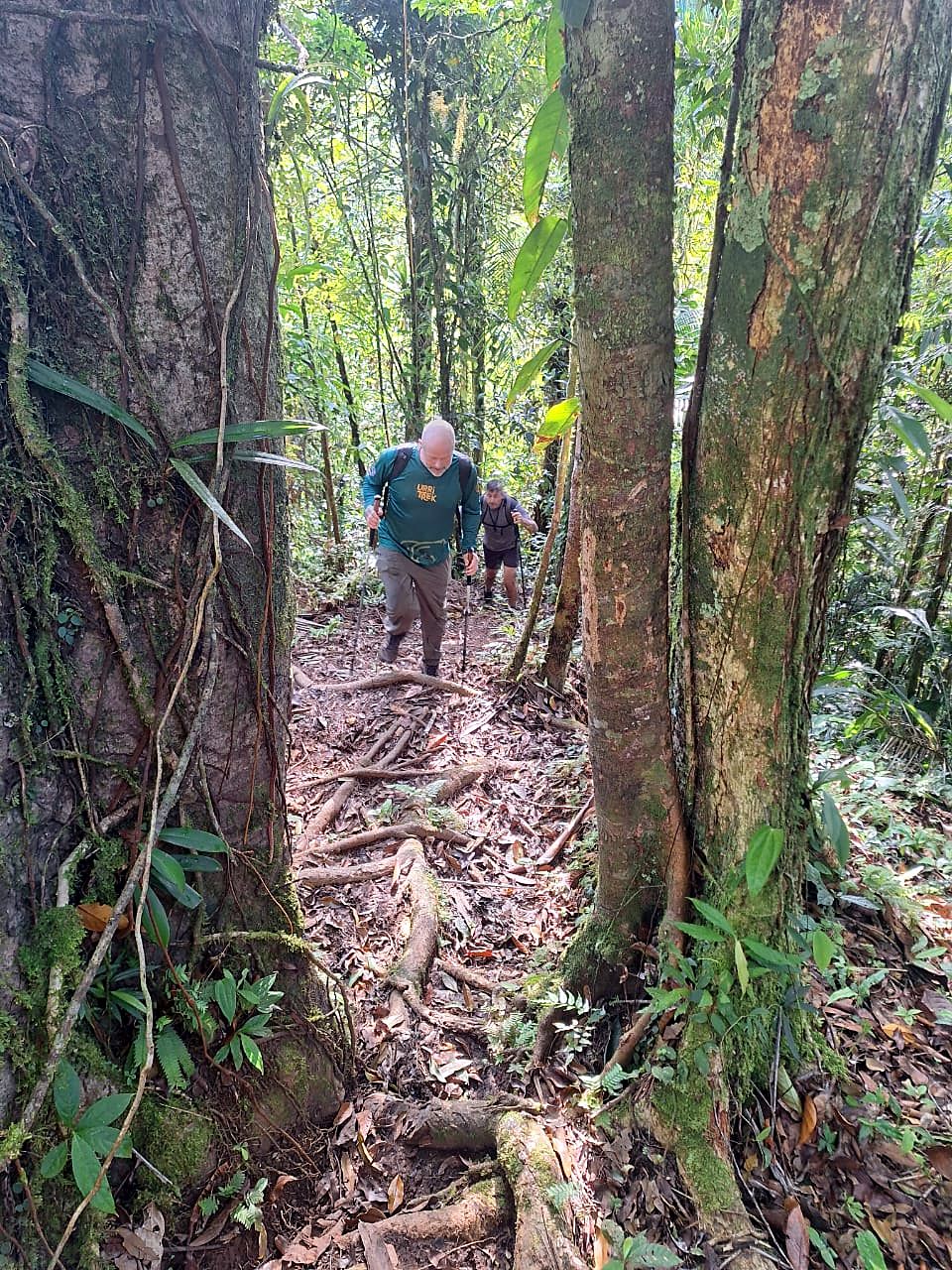
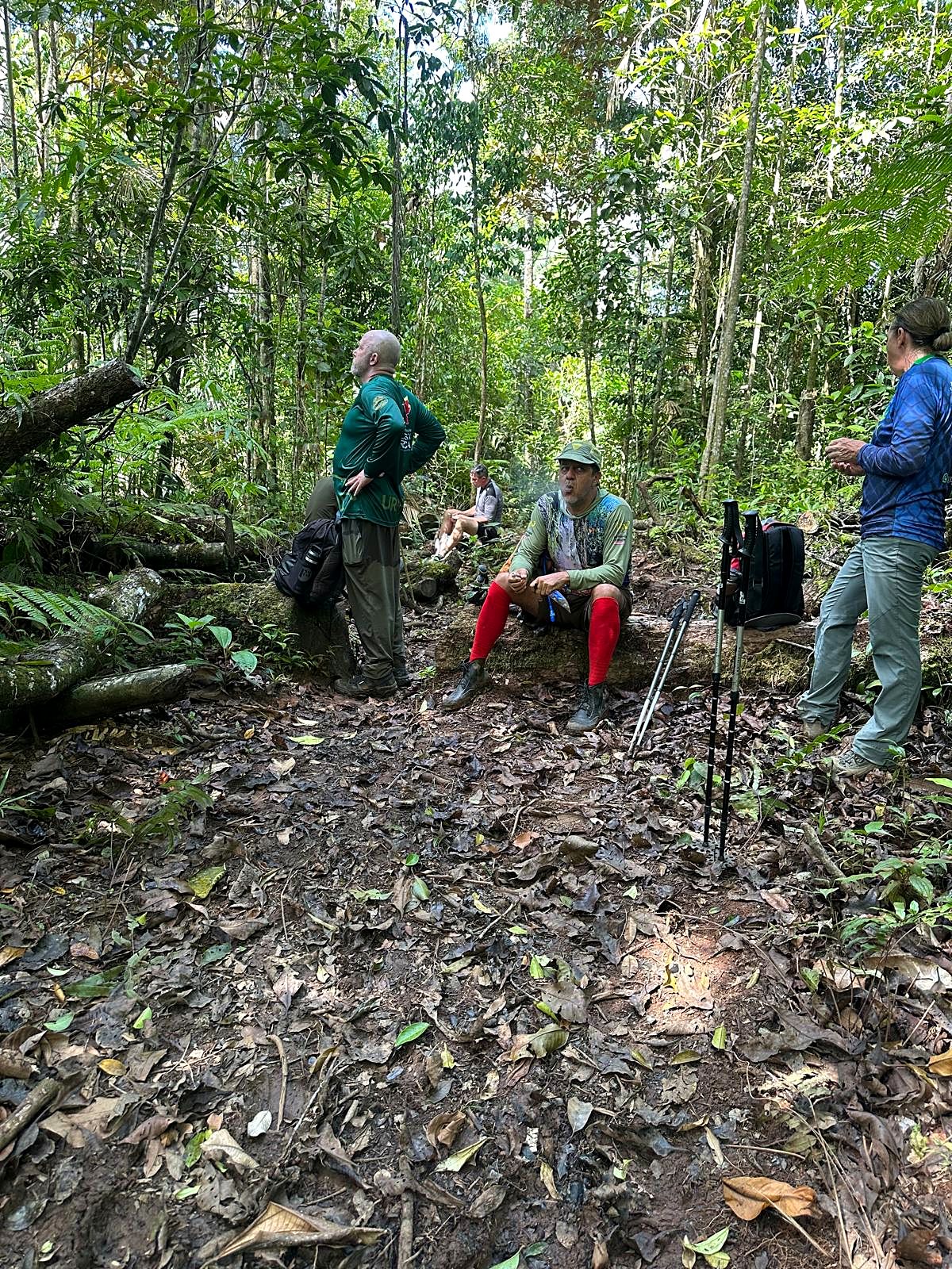
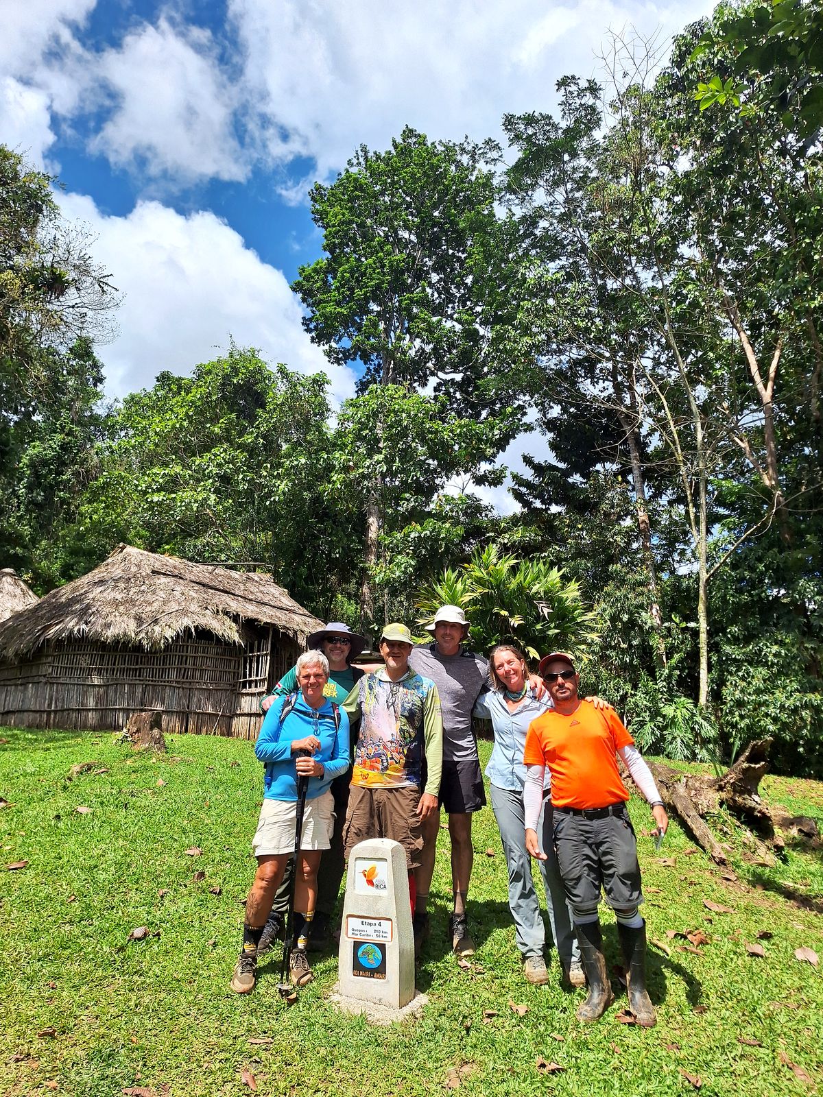
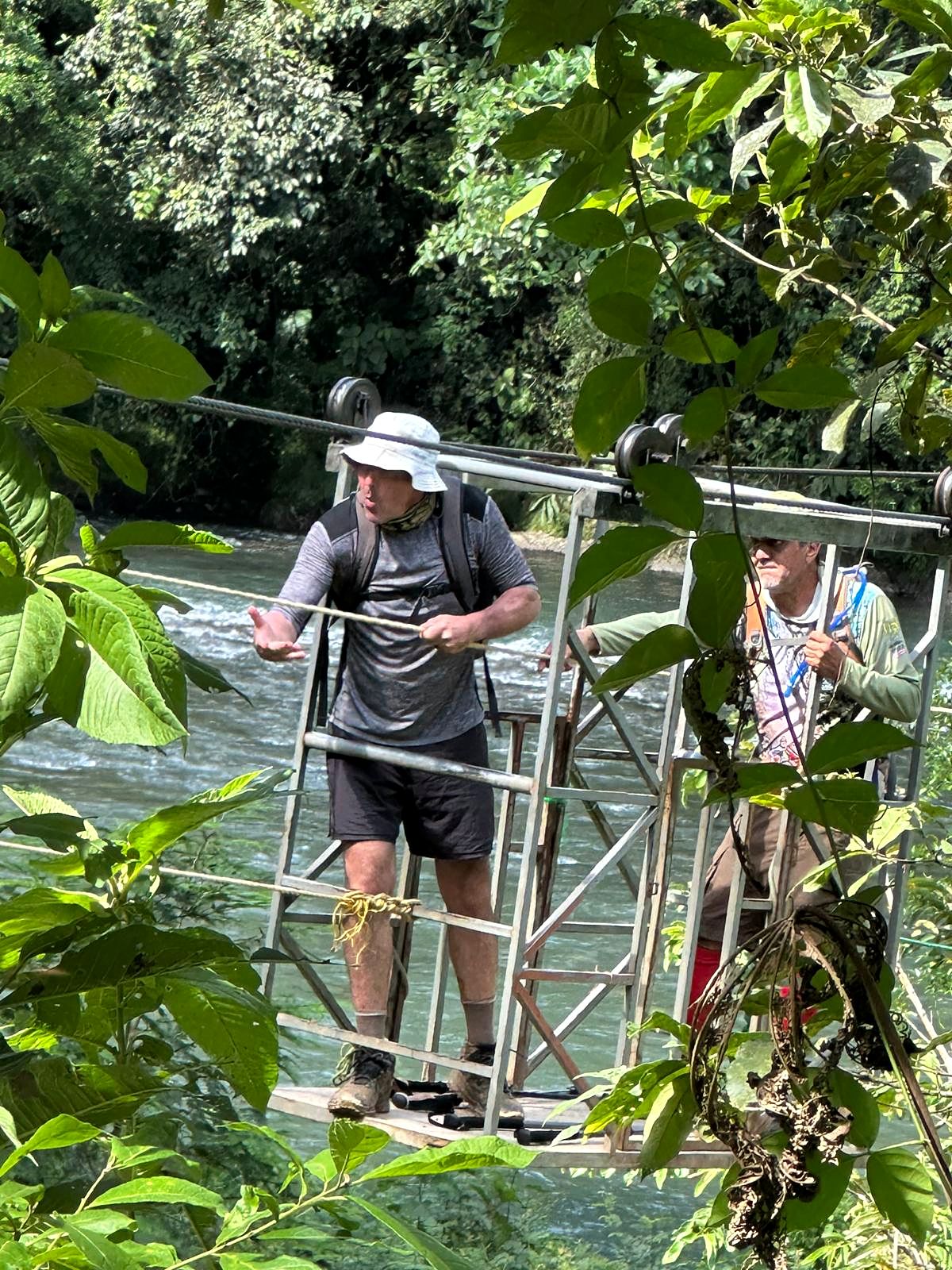
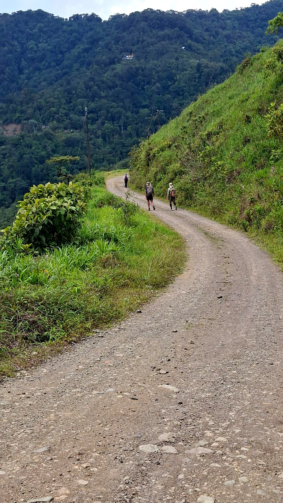
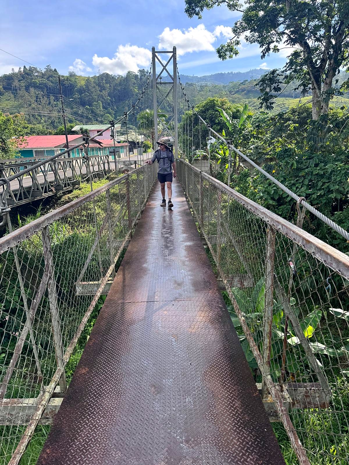
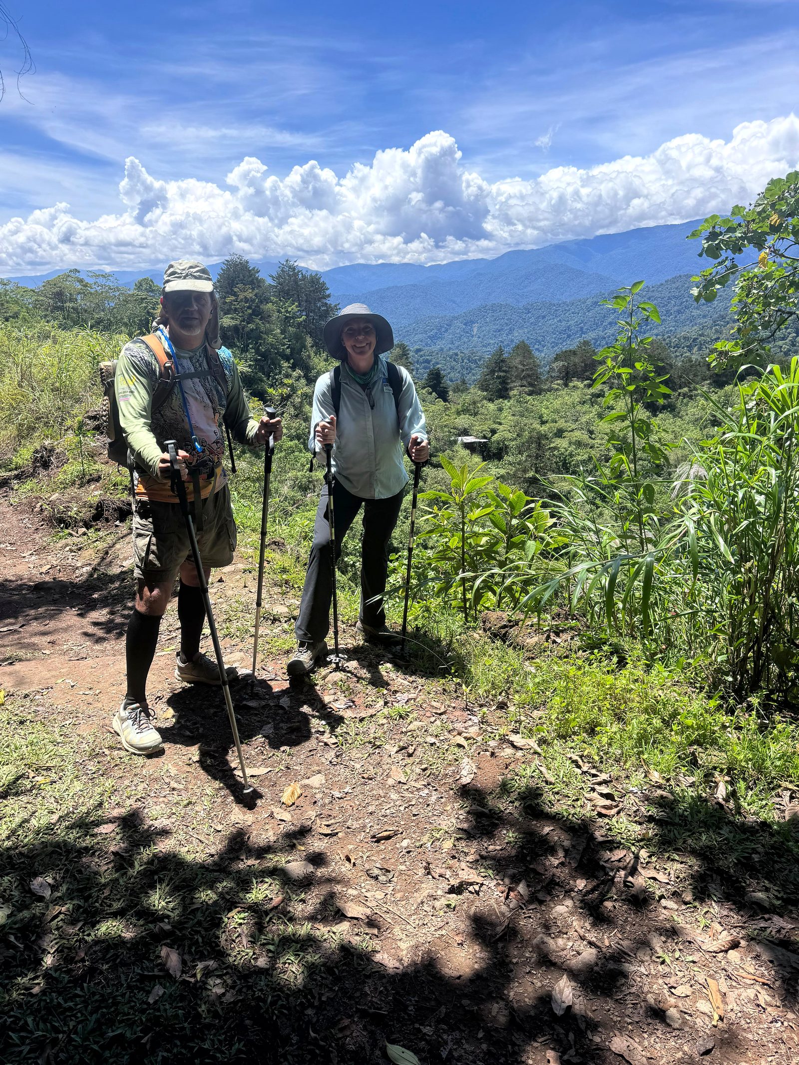
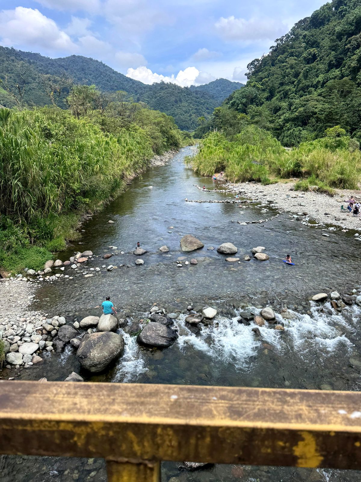
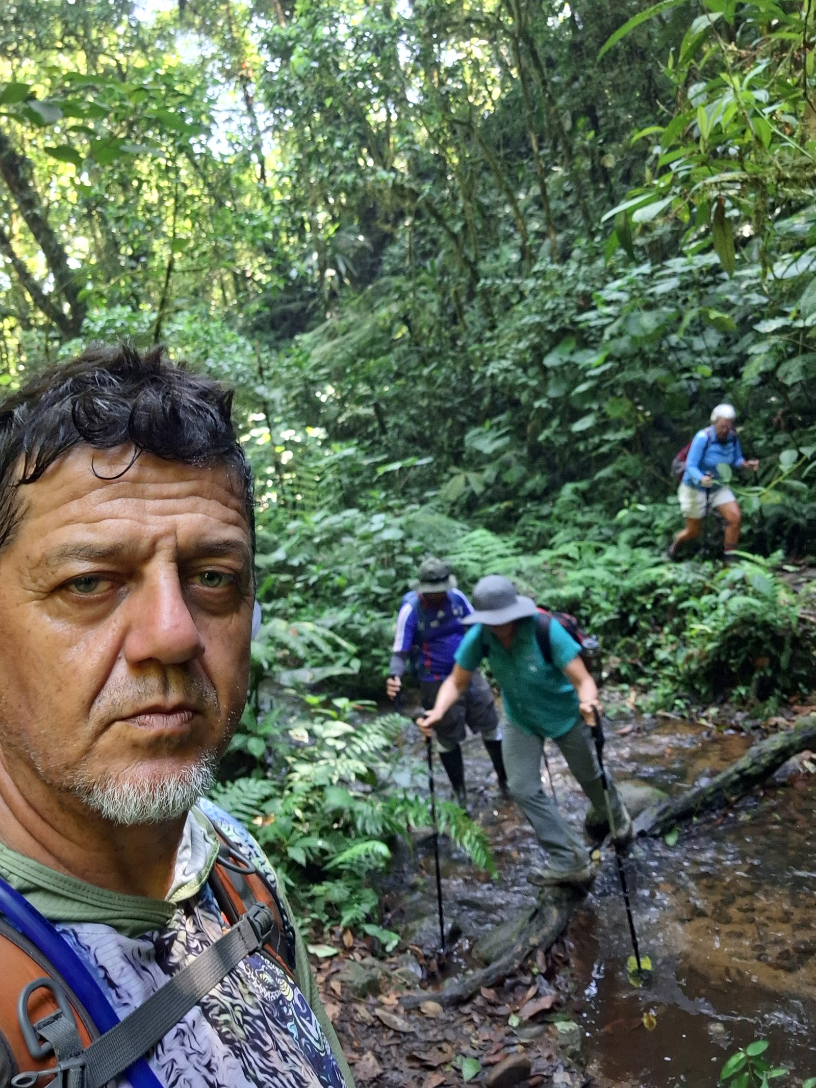
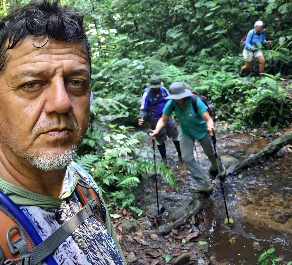
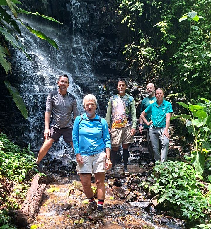
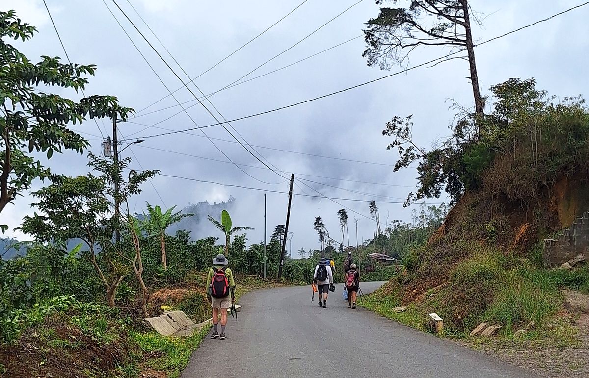
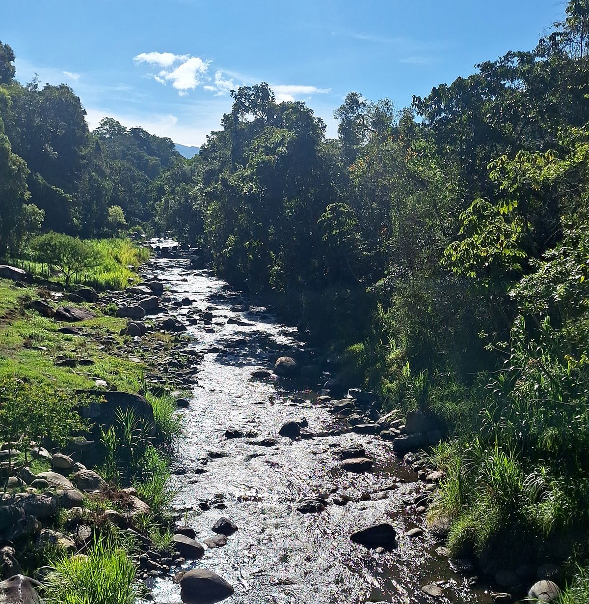
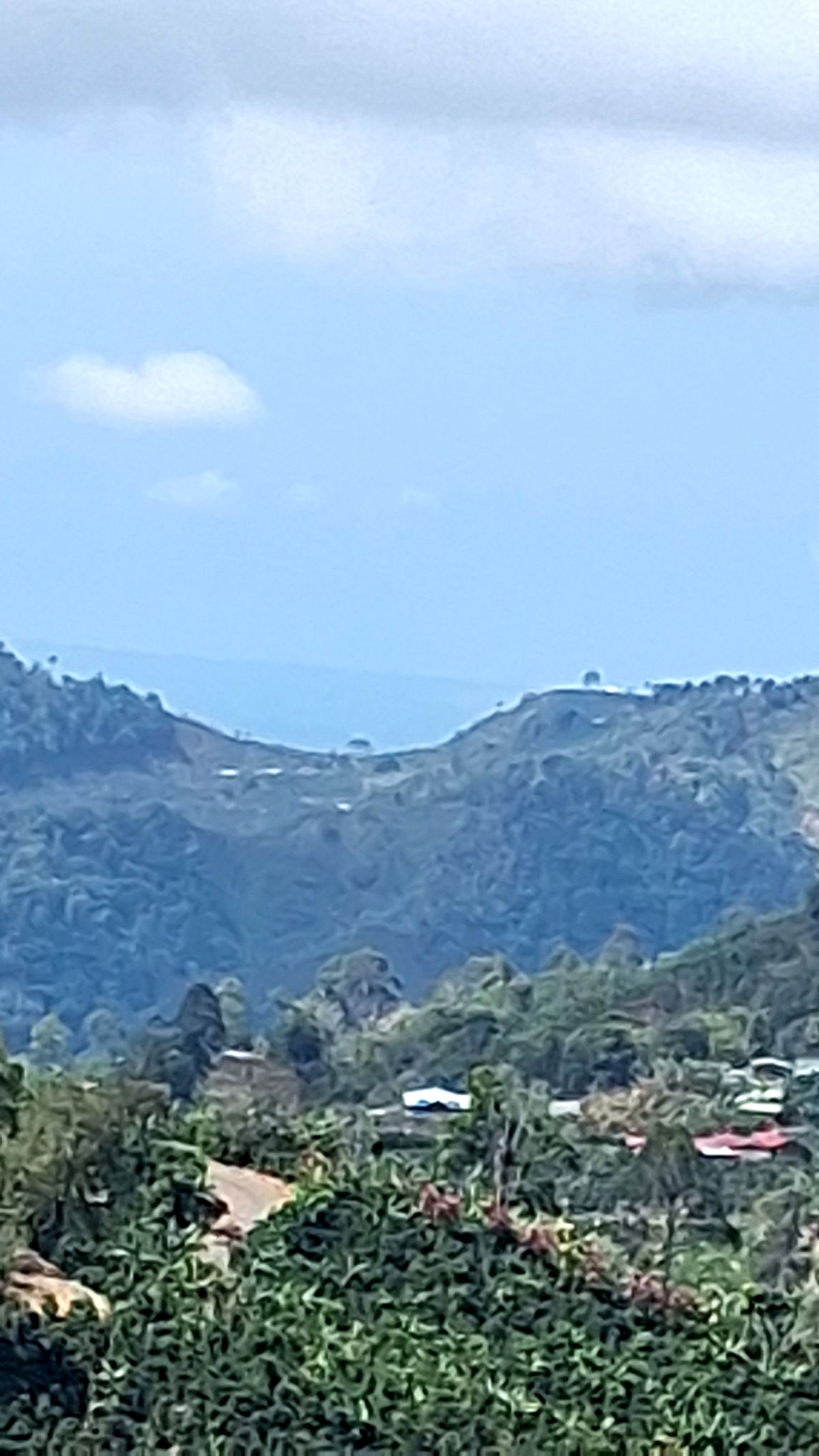
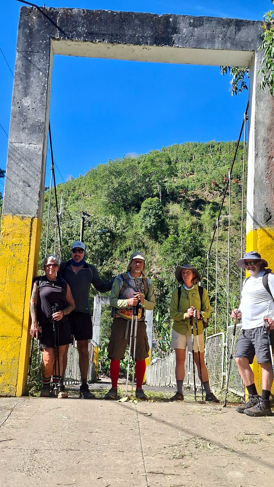
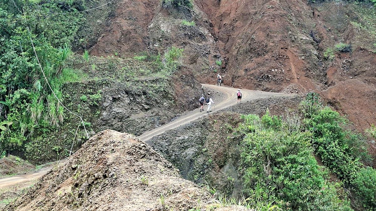
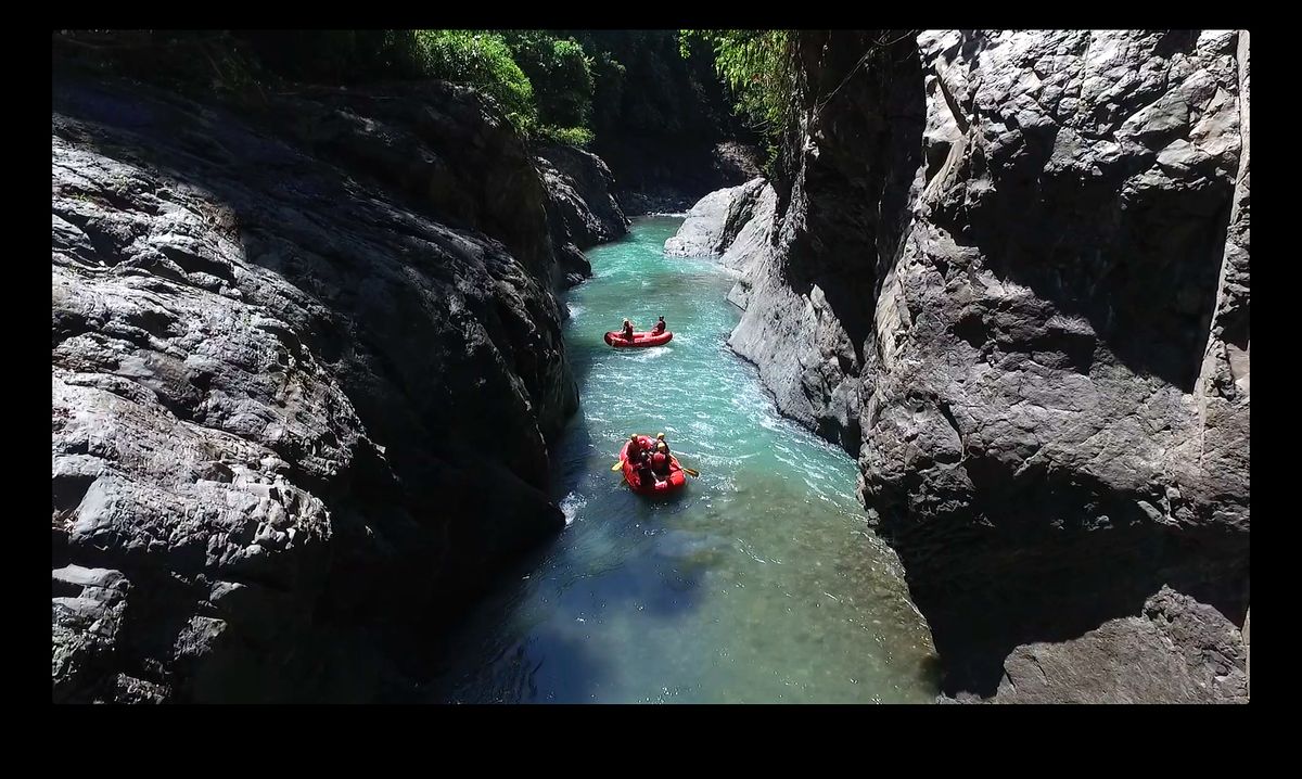
  4. Day 4 · The Pacuare Canyon. The trail follows the canyon rim with the river far below, through old-growth forest and cloud-draped ridges, to an award-winning jungle lodge on the Pacuare.Stages 3 and 4 · Las Brisas de Pacuarito → Tsiobata → Tres Equis, on the Pacuare · 18.7 km · 991 m up, 935 m down · 610 m to 640 m · Jungle lodge · All mealsHikers at a cable crossing over the Pacuare RiverLooking down into the Pacuare CanyonA hiker on a rooty trail beside a stream, Day 4Day 4 of the Camino de Costa Rica, on the way to the Pacuare CanyonDay 4 of the Camino de Costa Rica, on the way to the Pacuare CanyonDay 4 of the Camino de Costa Rica, on the way to the Pacuare CanyonDay 4 of the Camino de Costa Rica, on the way to the Pacuare CanyonDay 4 of the Camino de Costa Rica, on the way to the Pacuare CanyonDay 4 of the Camino de Costa Rica, on the way to the Pacuare CanyonDay 4 of the Camino de Costa Rica, on the way to the Pacuare CanyonDay 4 of the Camino de Costa Rica, on the way to the Pacuare Canyon
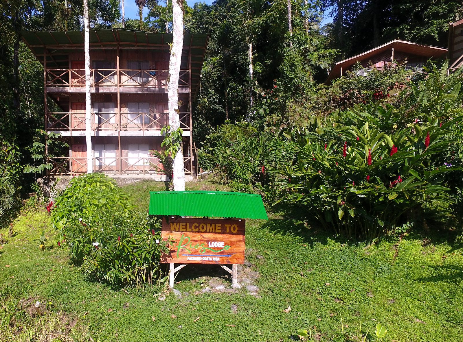
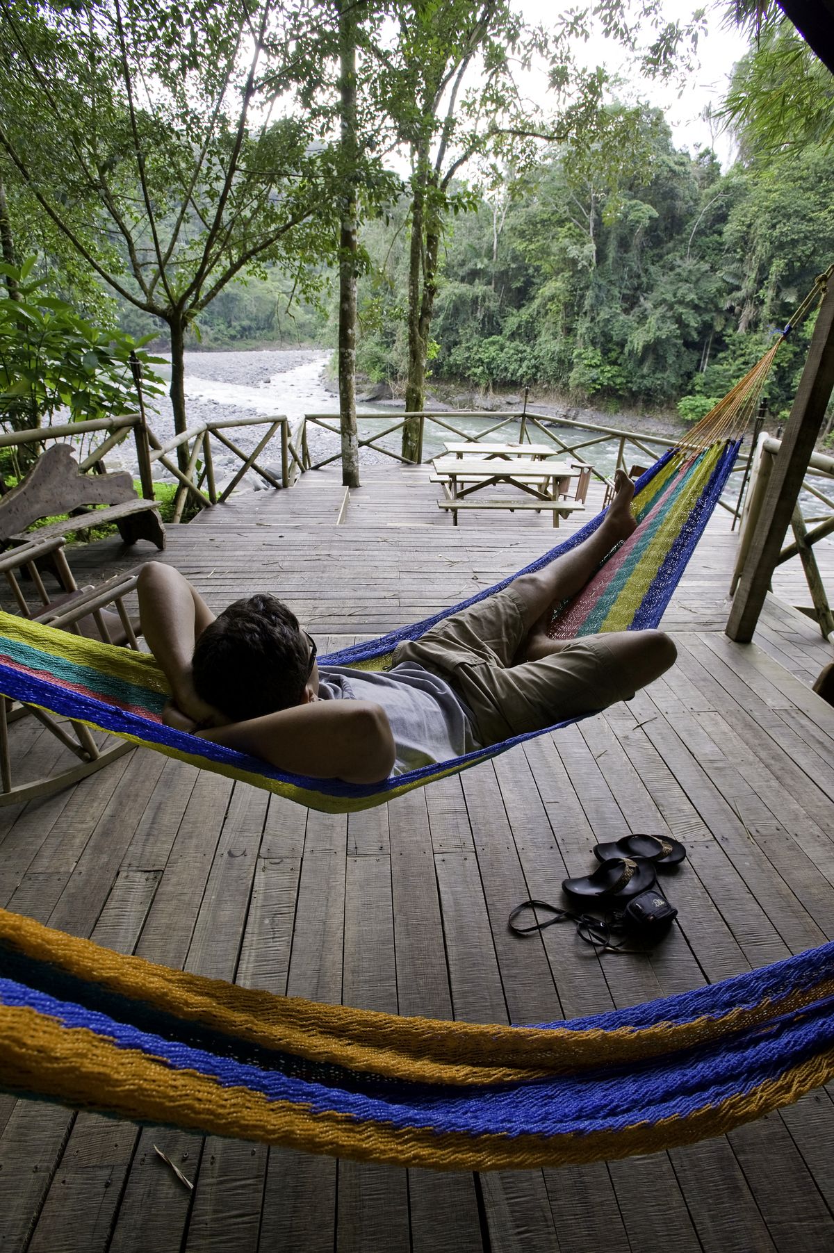
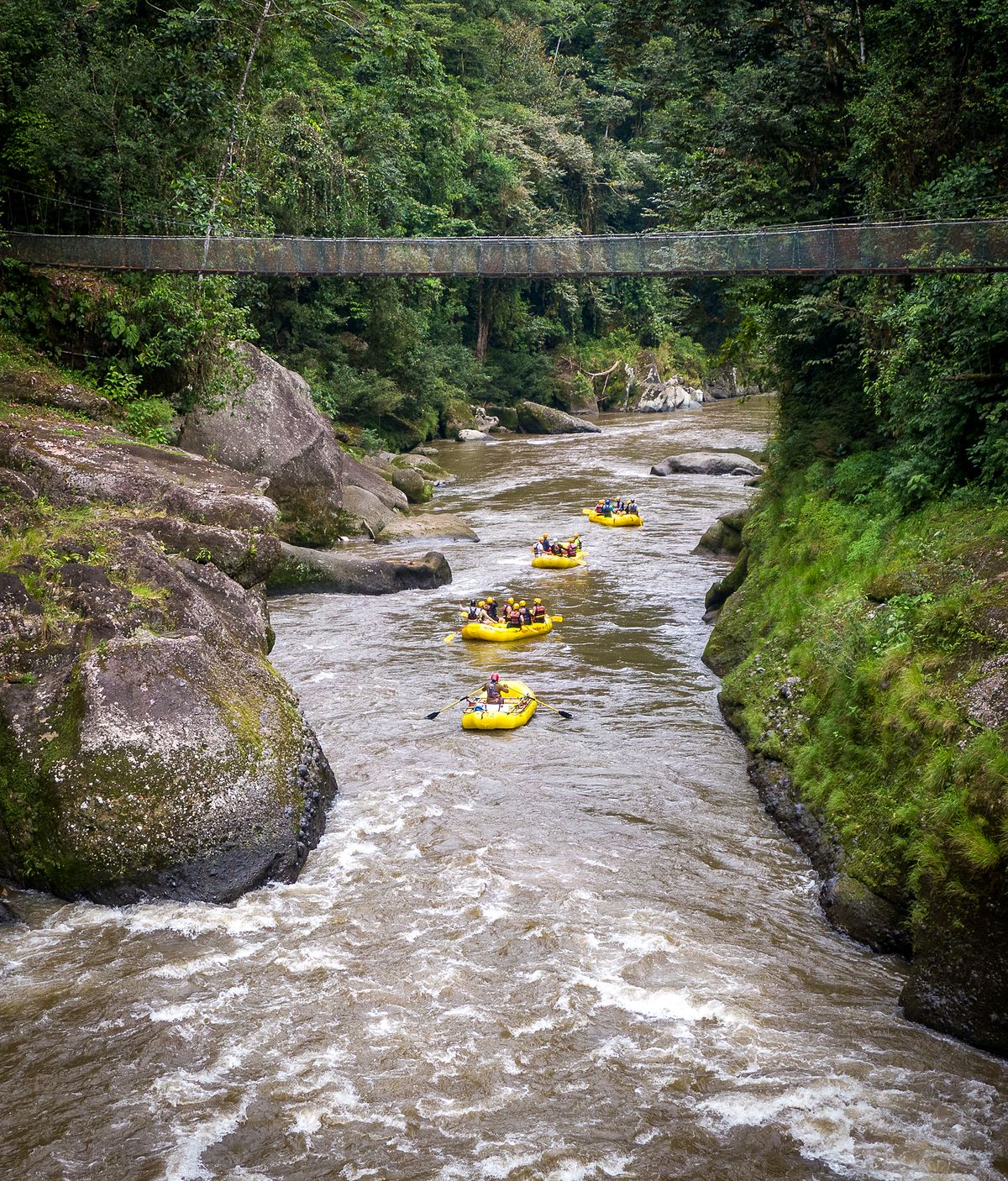
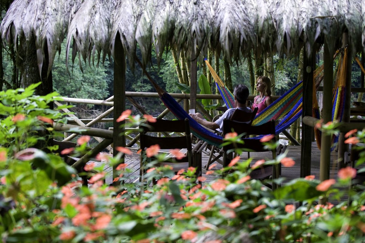
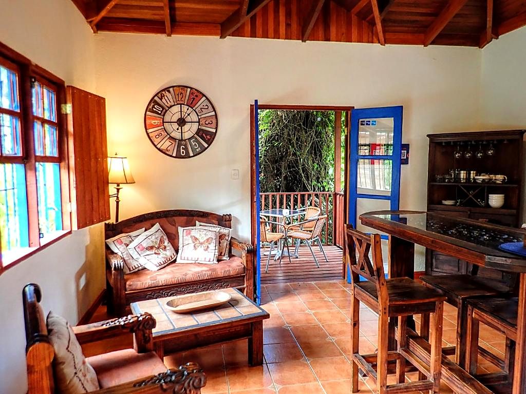
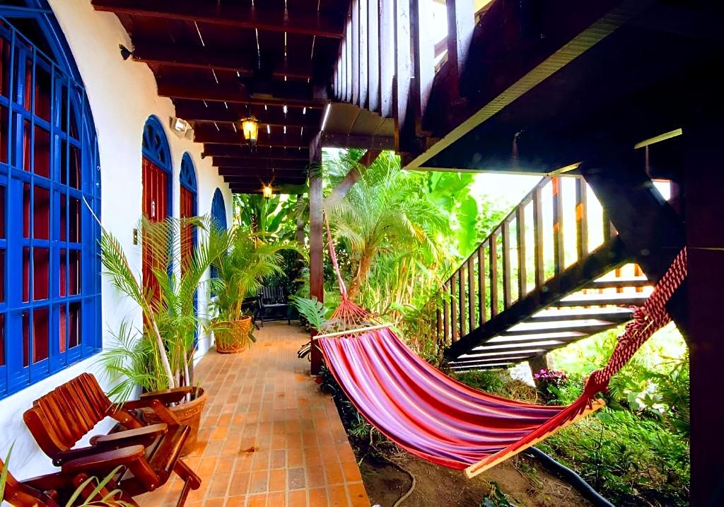
  5. Day 5 · Rest day in the canyon. A deliberate pause at the jungle lodge. Take a guided canopy hike, visit a nearby indigenous community, book a massage, swim in the canyon or read in a hammock.Rest day · Pacuare River · Lodge-based · All mealsThe jungle lodge on the Pacuare River, where you spend the rest dayDay 5 of the Camino de Costa Rica: hammocks at Rios Lodge on the Pacuare RiverDay 5 of the Camino de Costa Rica: a room at Rios Lodge on the Pacuare RiverDay 5 of the Camino de Costa Rica: the waterfall at Rios Lodge on the Pacuare RiverDay 5 of the Camino de Costa Rica: the zipline over the river at Rios Lodge on the Pacuare RiverDay 5 of the Camino de Costa Rica: rafts below the suspension bridge at Rios Lodge on the Pacuare RiverDay 5 of the Camino de Costa Rica: a riverview cabin at Rios Lodge on the Pacuare RiverDay 5 of the Camino de Costa Rica: the rainforest at Rios Lodge on the Pacuare River
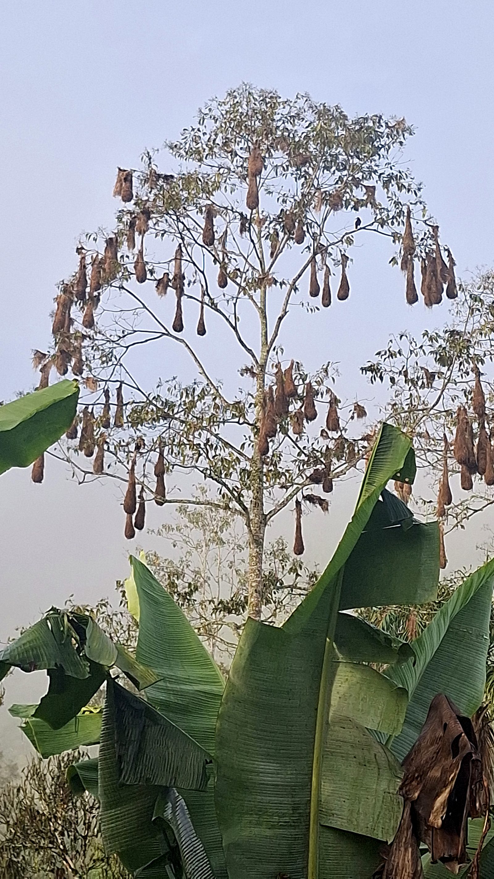
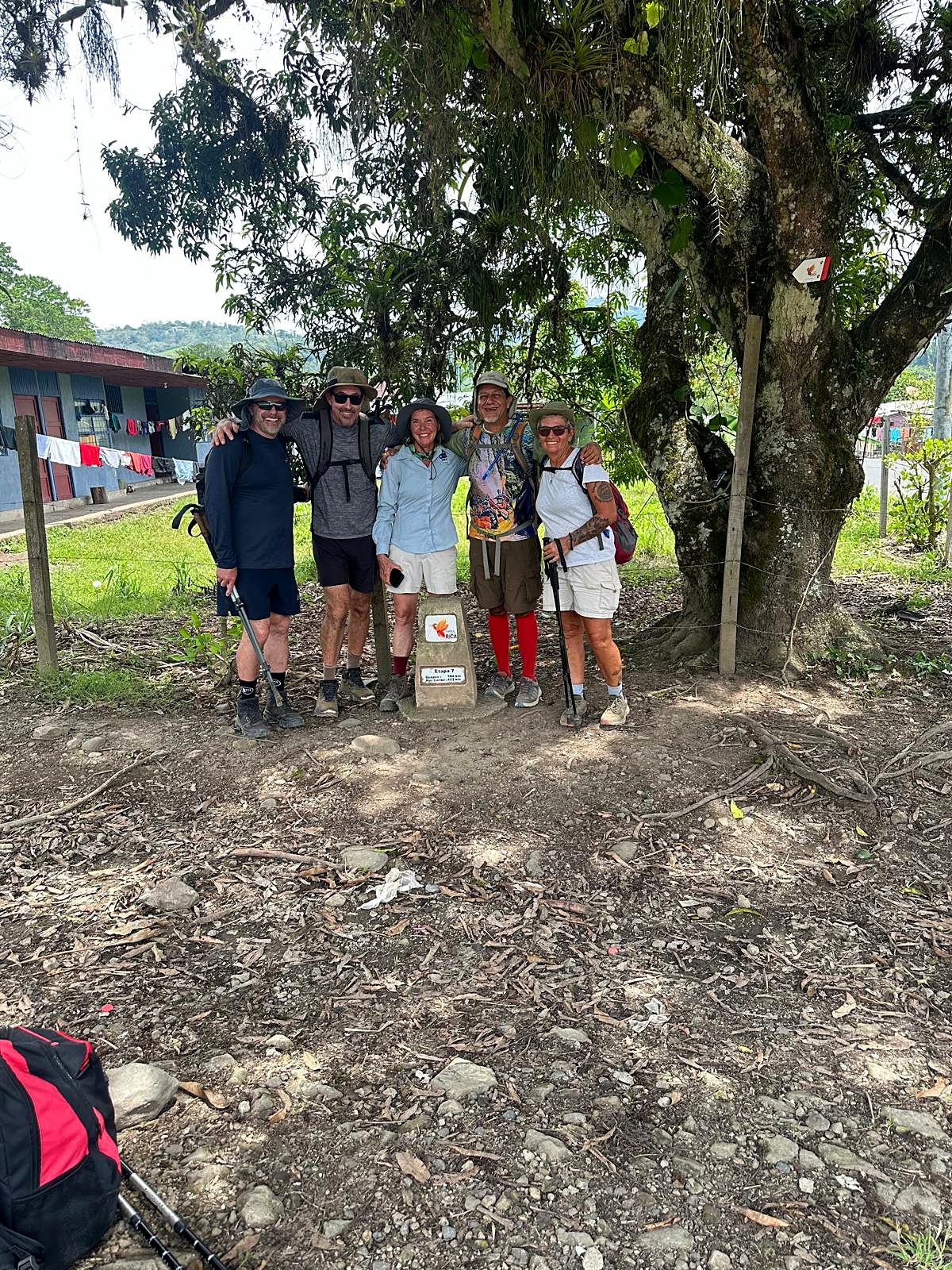
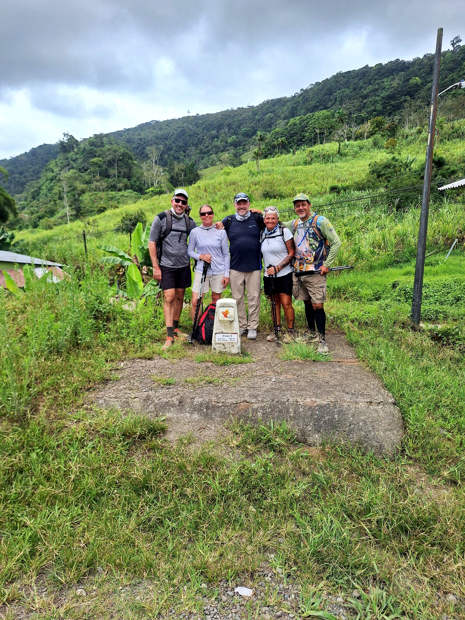
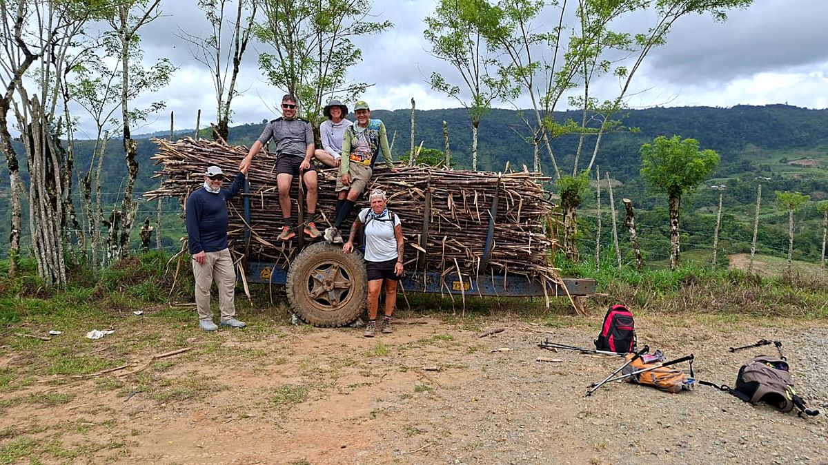
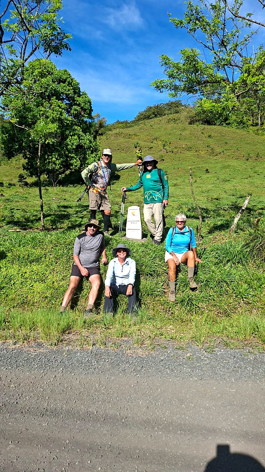
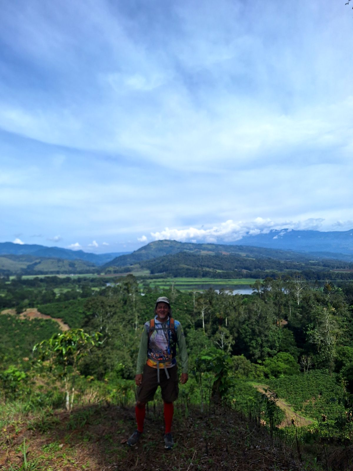
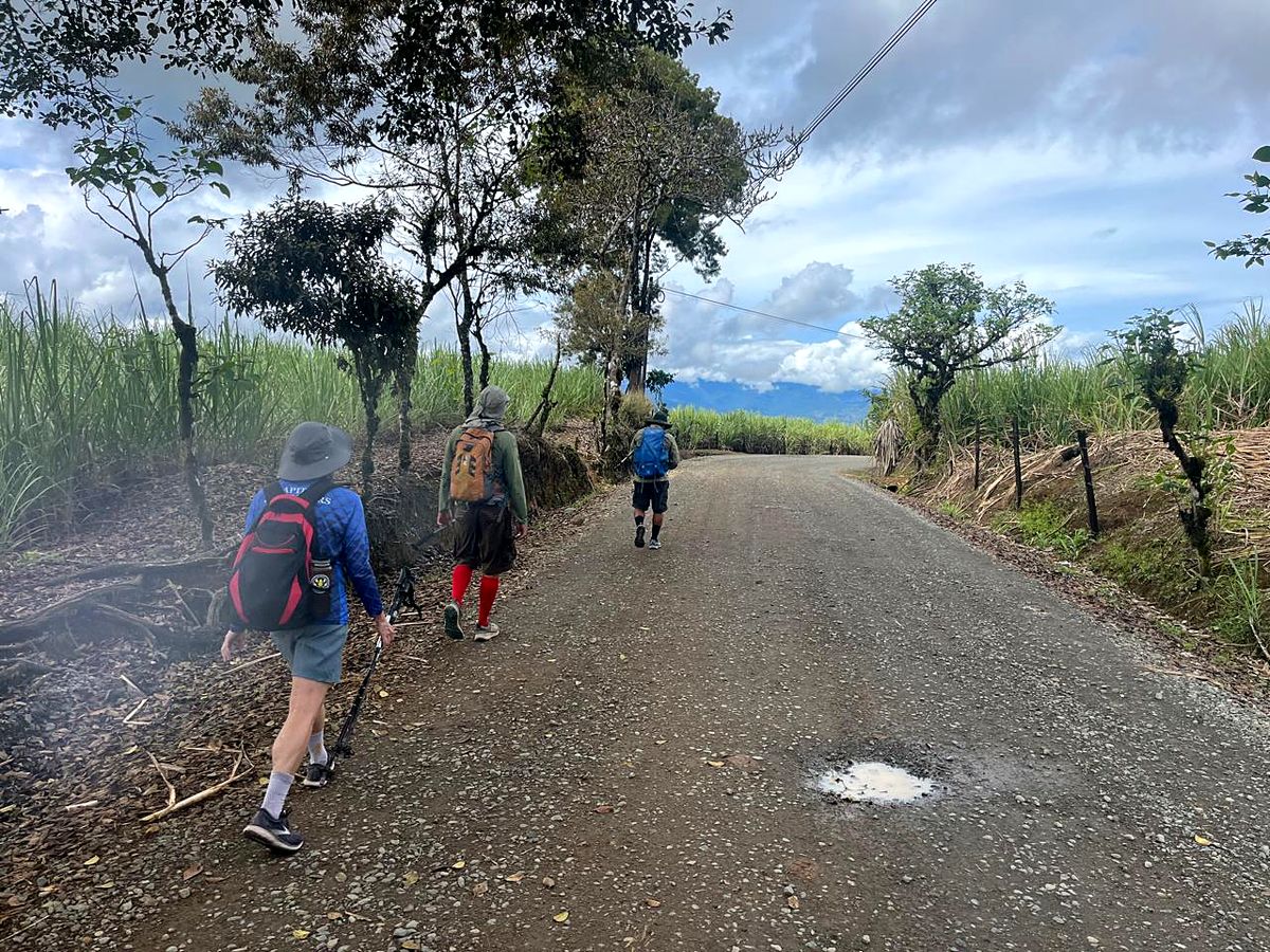
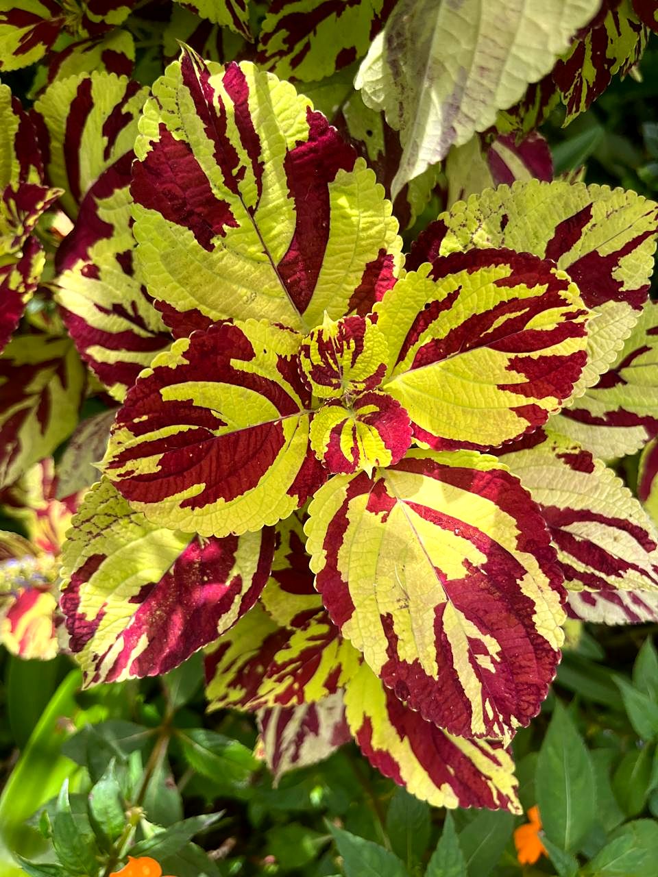
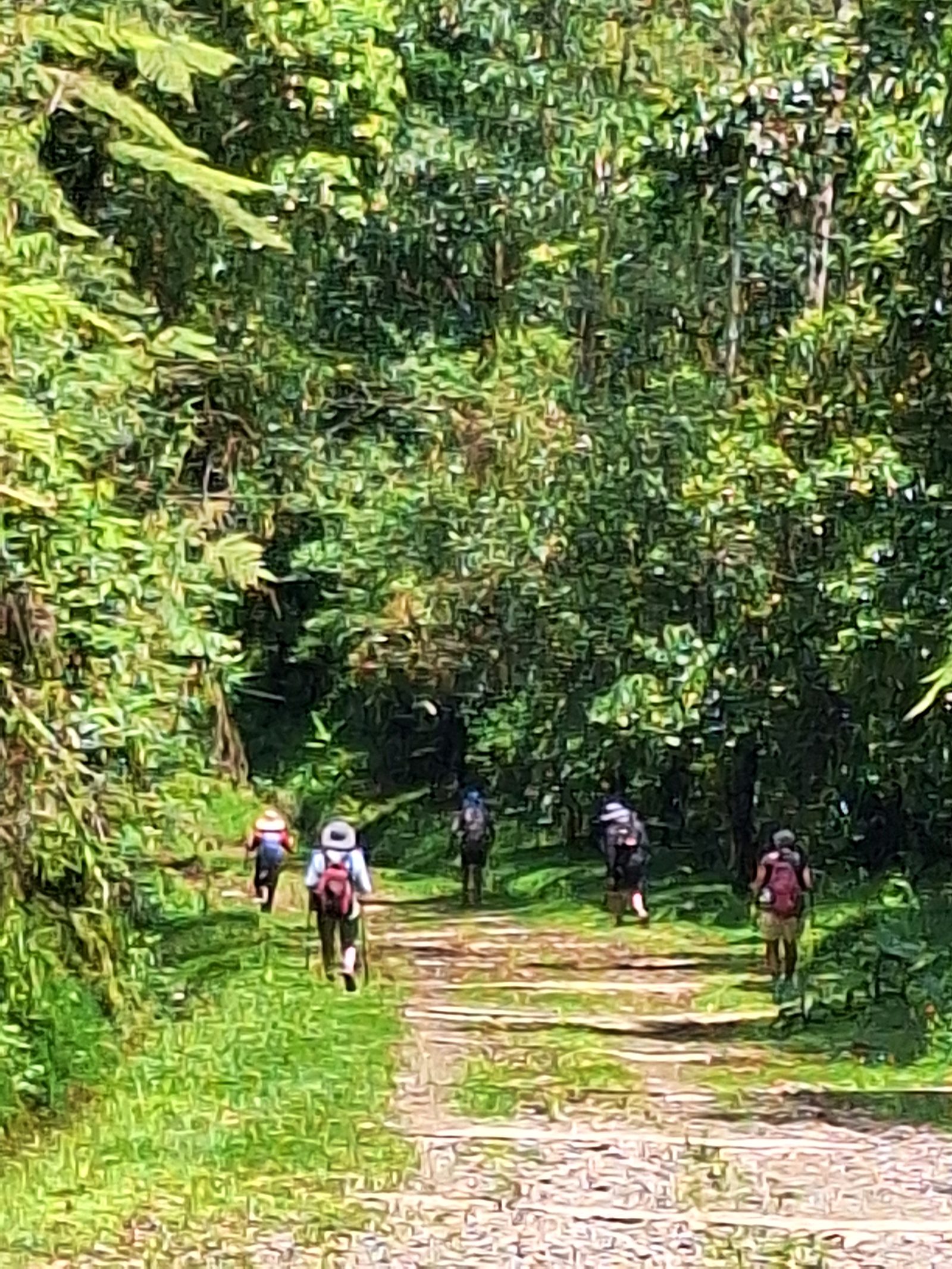
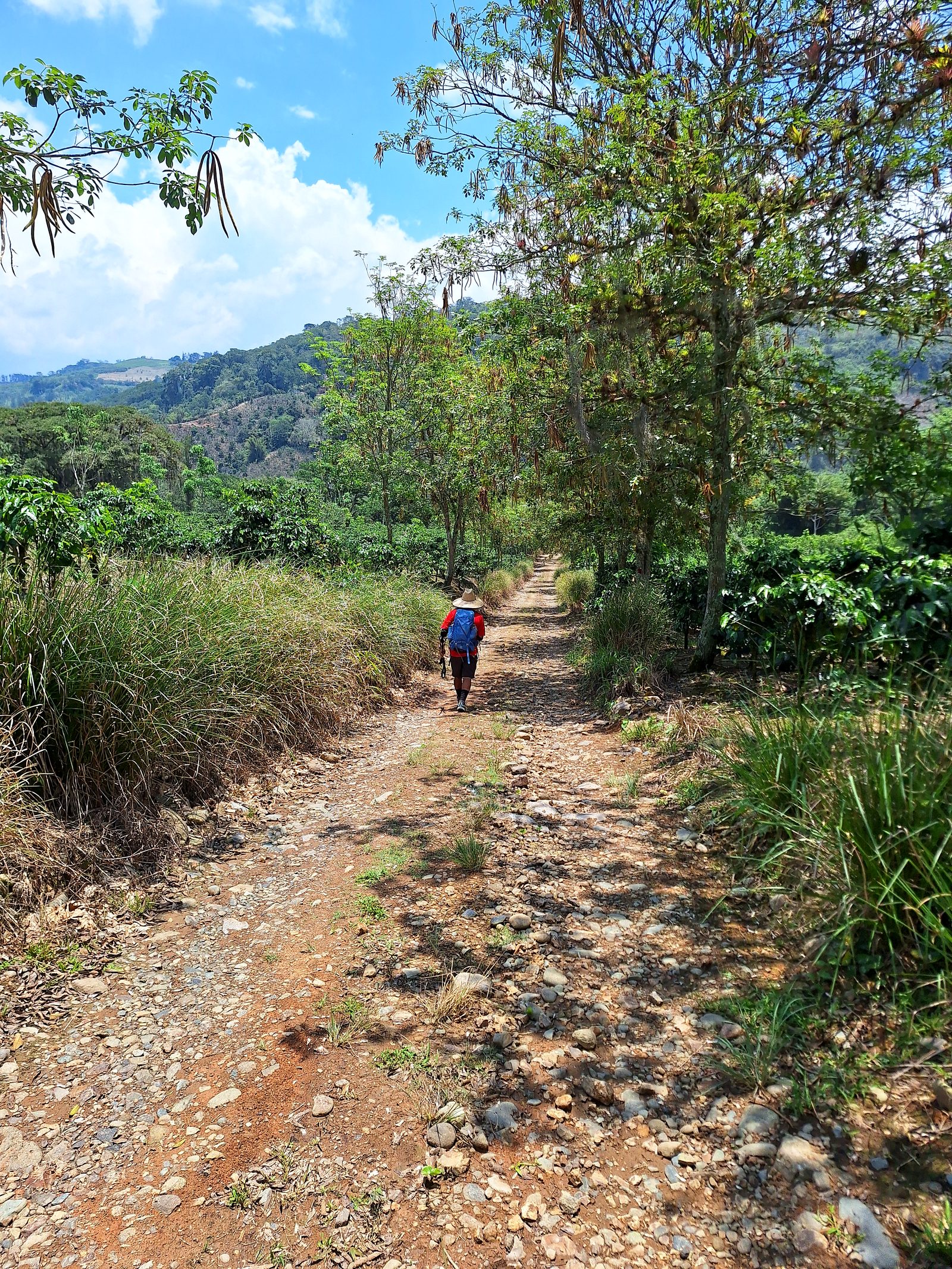
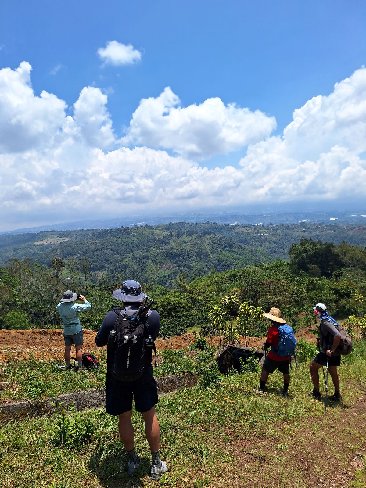
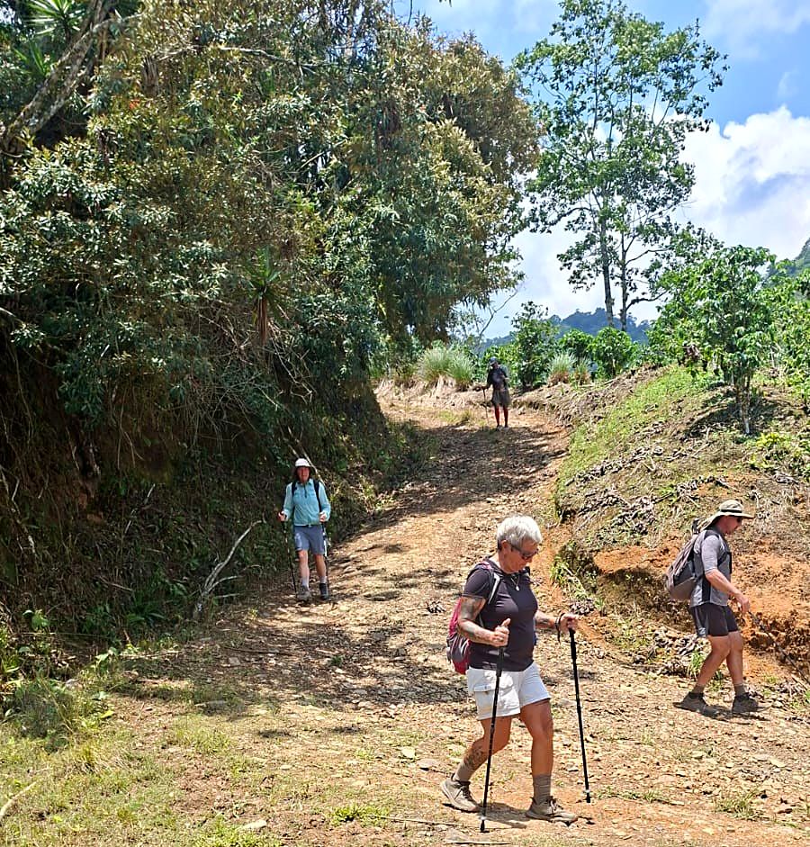
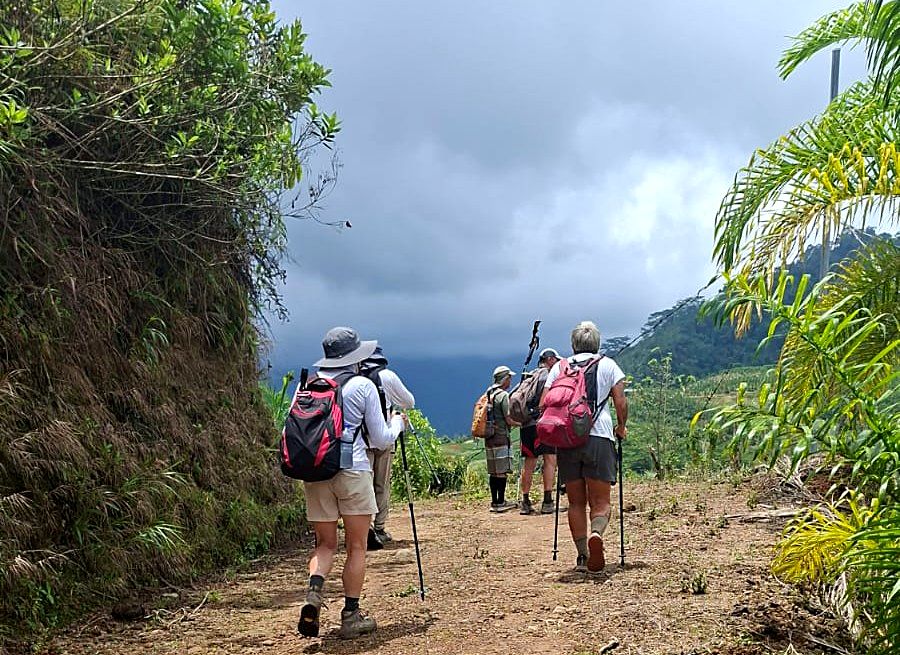
  6. Day 6 · Up to the Turrialba Valley. You leave the canyon and climb through coffee farms, macadamia orchards and sugar cane, with Turrialba Volcano on the horizon, to a 19th-century hacienda.Stages 5 and 6 · Tres Equis → Pacayitas → Canadá, by La Suiza · 25.5 km · 888 m up, 947 m down · 640 m, 890 m at Pacayitas, 590 m at the end · Hacienda · All mealsA flowering tree above banana plants, Day 6Hikers resting under a big treeClouds over the hills of the Turrialba ValleyThe group in the green hills on the way to La SuizaDay 6 of the Camino de Costa Rica, on the way to La SuizaDay 6 of the Camino de Costa Rica, on the way to La SuizaDay 6 of the Camino de Costa Rica, on the way to La SuizaDay 6 of the Camino de Costa Rica, on the way to La SuizaDay 6 of the Camino de Costa Rica, on the way to La SuizaDay 6 of the Camino de Costa Rica, on the way to La Suiza
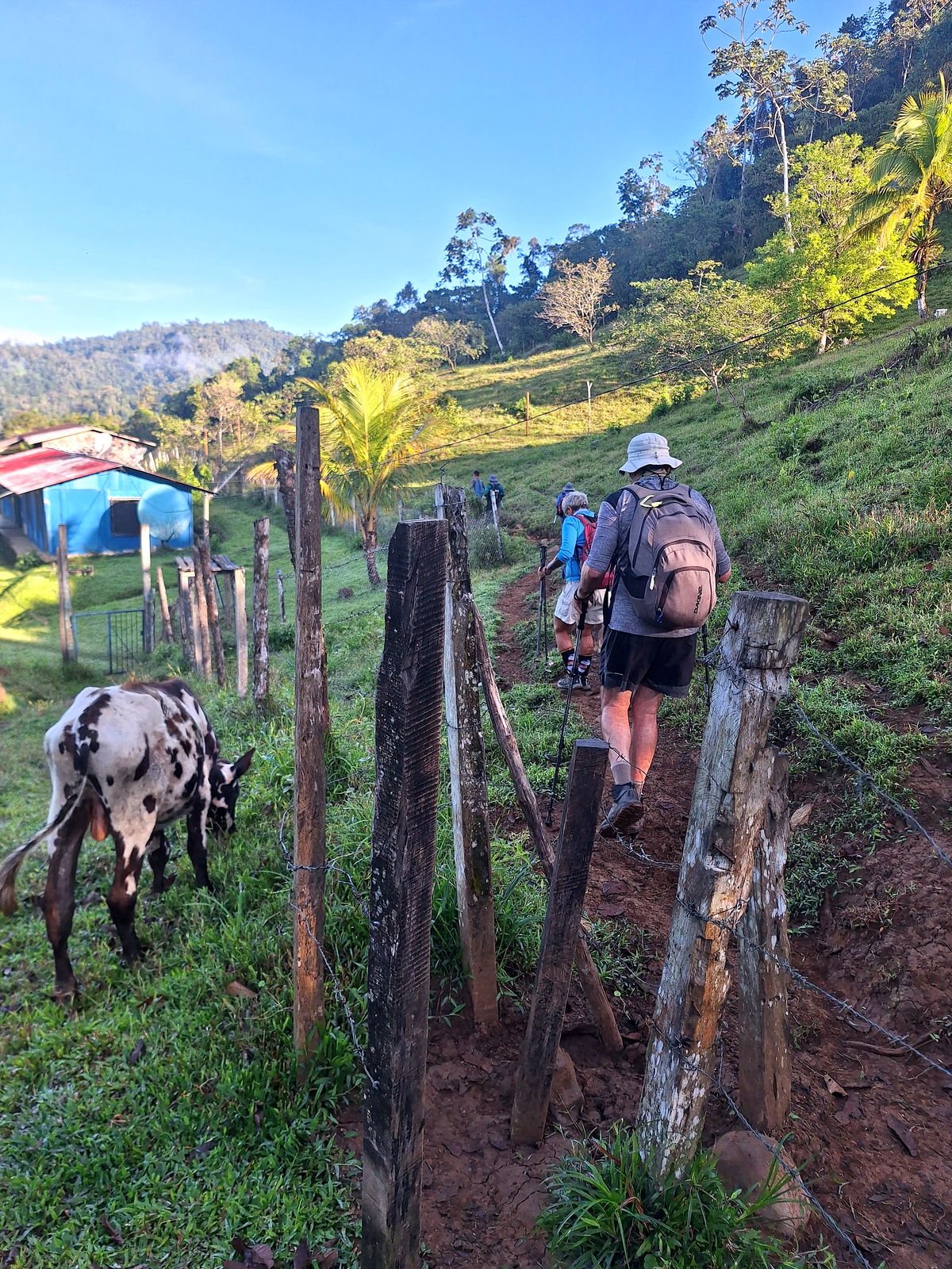
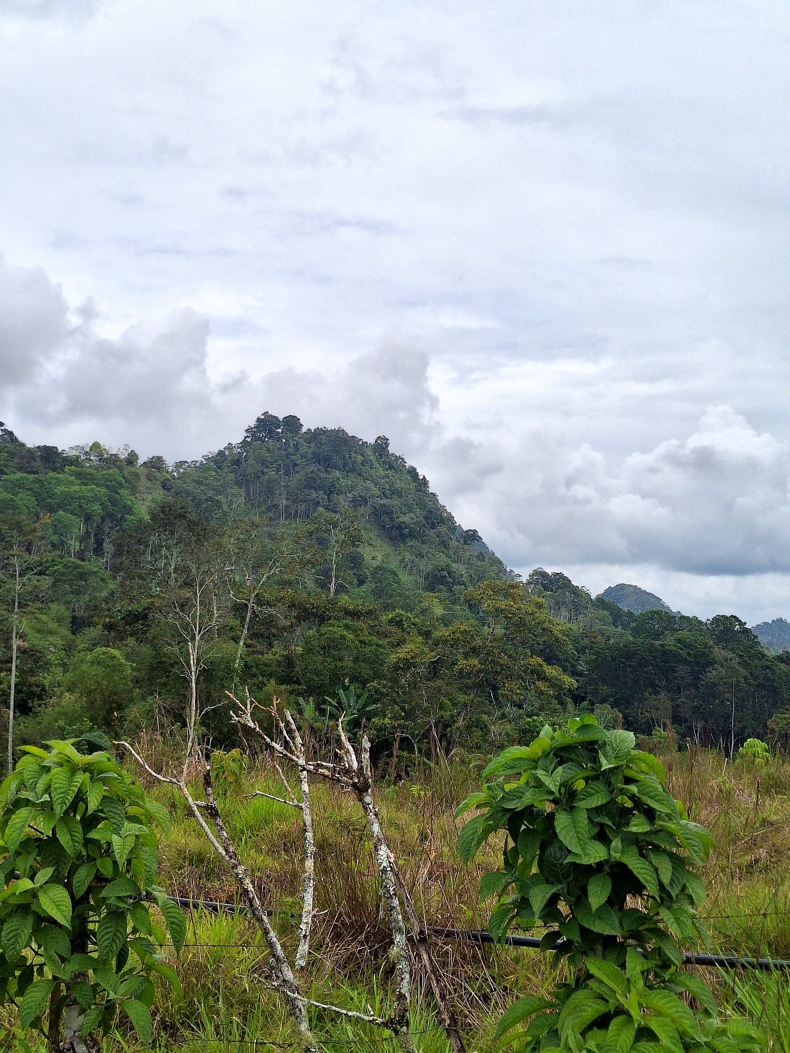
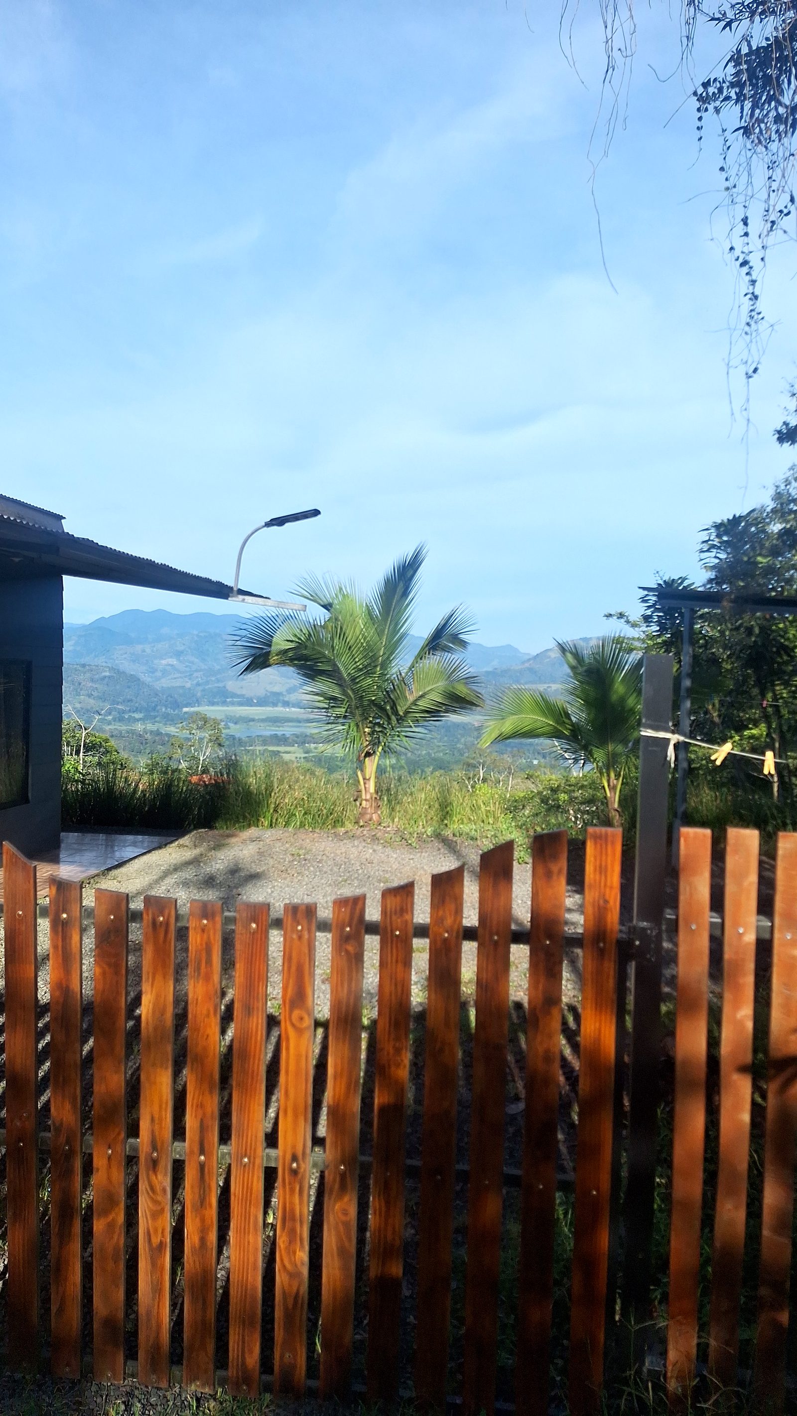
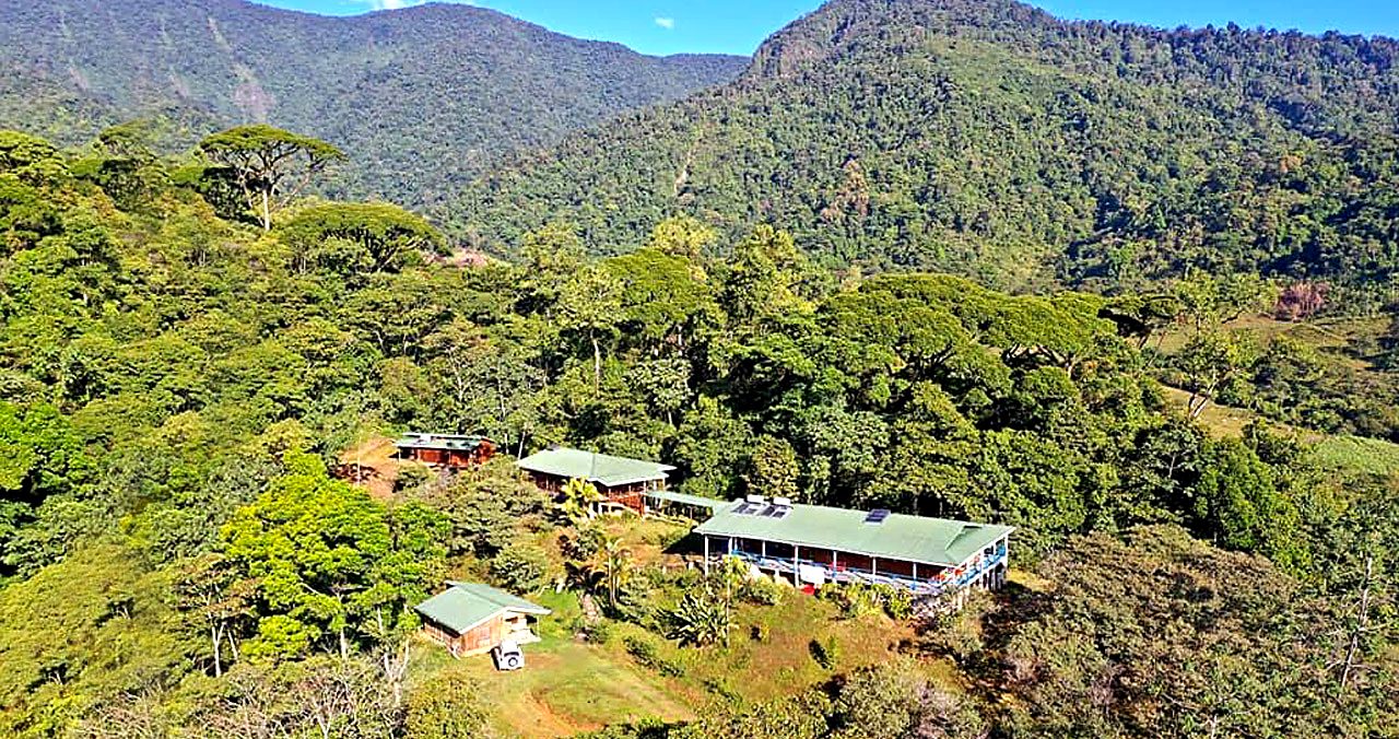
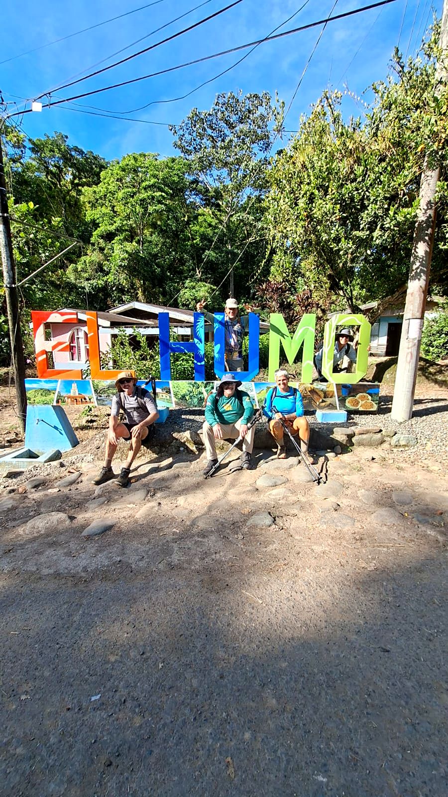
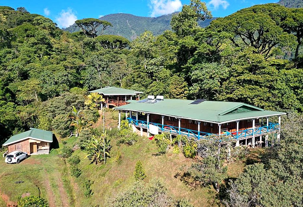
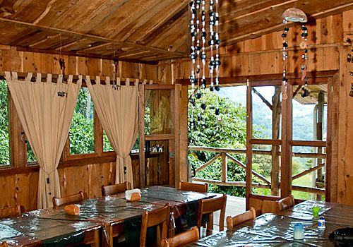
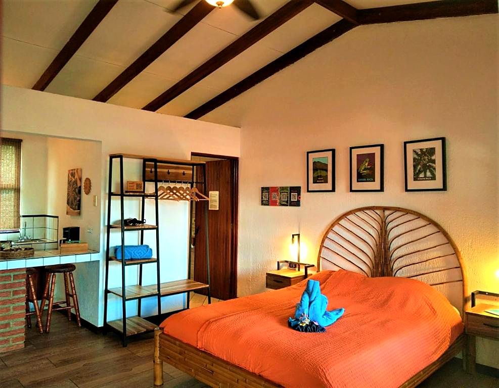
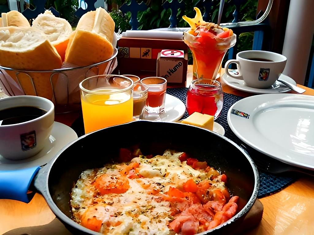
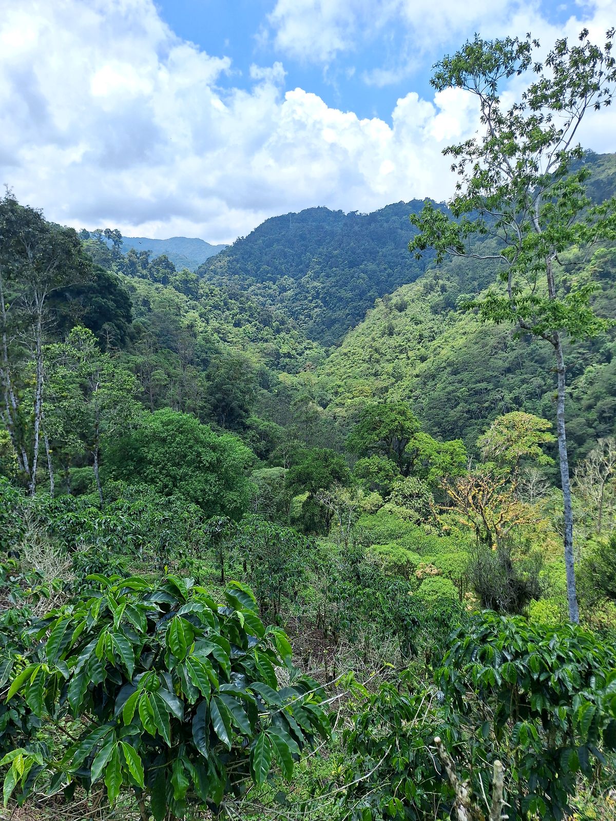
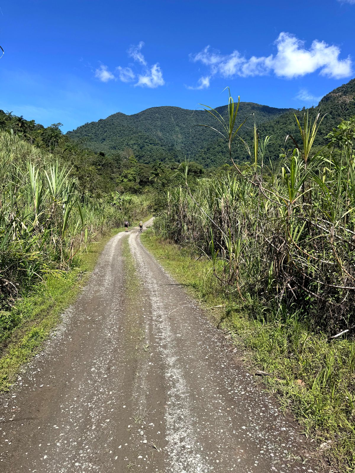
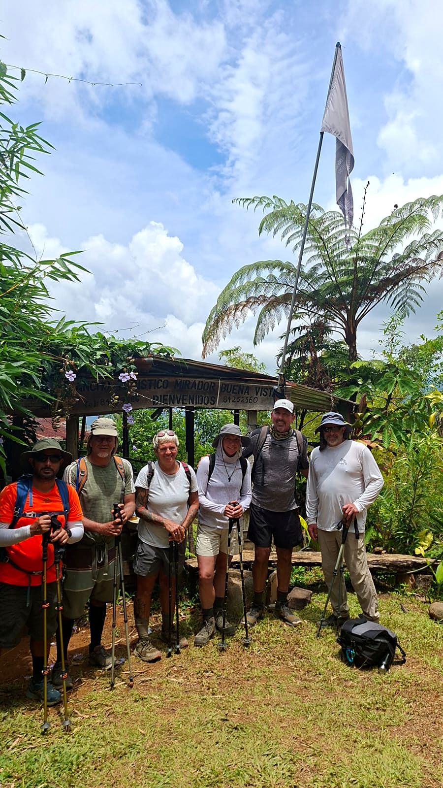
  7. Day 7 · Coffee country to Pejibaye. A winding walk through terraced coffee and sugar cane, past Atirro and into the Pejibaye valley. The night is on a working organic farm at El Humo, where dinner grows outside your window.Stage 7 · La Suiza → Atirro → Pejibaye → El Humo · 18.3 km · 728 m up, 594 m down · 590 m to 700 m · Organic farm · All mealsA wooden fence and the view from El Humo, Day 7Hikers on a hillside pathA gravel road into the cloud forestThe farm lodge among forested hillsDay 7 of the Camino de Costa Rica: a room at El Copal lodge near El HumoDay 7 of the Camino de Costa Rica, on the way to El HumoDay 7 of the Camino de Costa Rica, on the way to El HumoDay 7 of the Camino de Costa Rica, on the way to El HumoDay 7 of the Camino de Costa Rica, on the way to El HumoDay 7 of the Camino de Costa Rica, on the way to El HumoDay 7 of the Camino de Costa Rica: El Copal lodge near El HumoDay 7 of the Camino de Costa Rica: El Copal lodge near El HumoDay 7 of the Camino de Costa Rica: the restaurant at El Copal lodge near El HumoDay 7 of the Camino de Costa Rica: the restaurant at El Copal lodge near El HumoDay 7 of the Camino de Costa Rica: a room at El Copal lodge near El HumoDay 7 of the Camino de Costa Rica: a room at El Copal lodge near El HumoDay 7 of the Camino de Costa Rica: El Copal lodge near El Humo
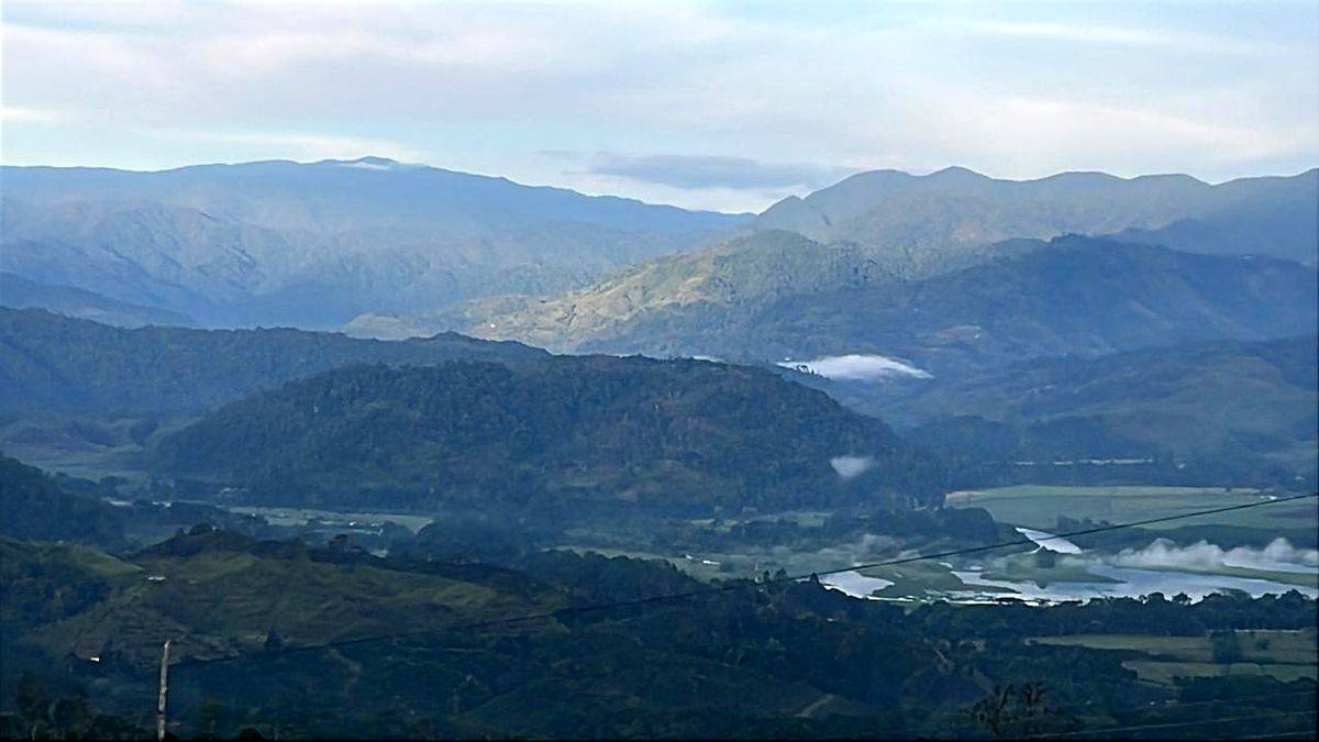
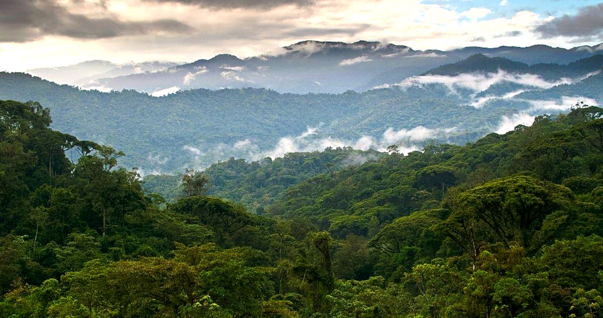
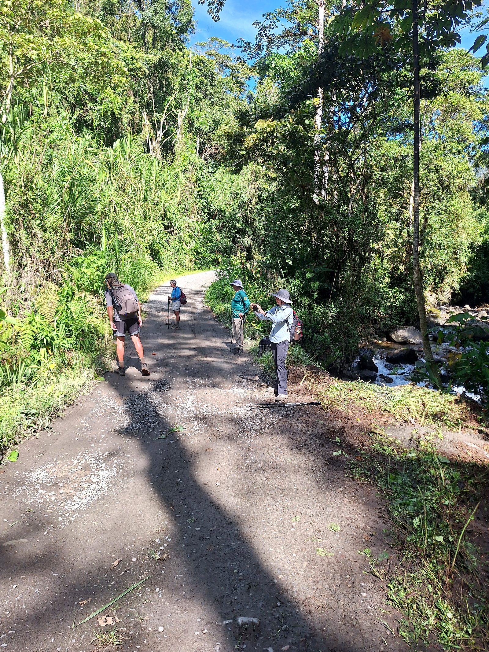
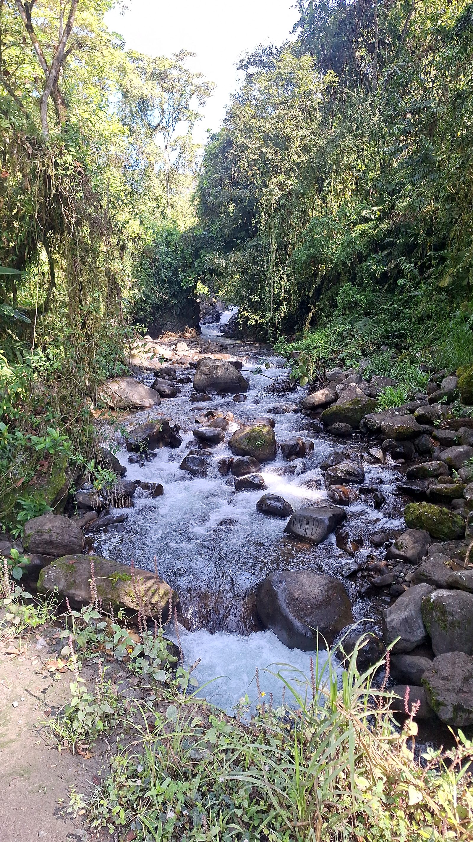
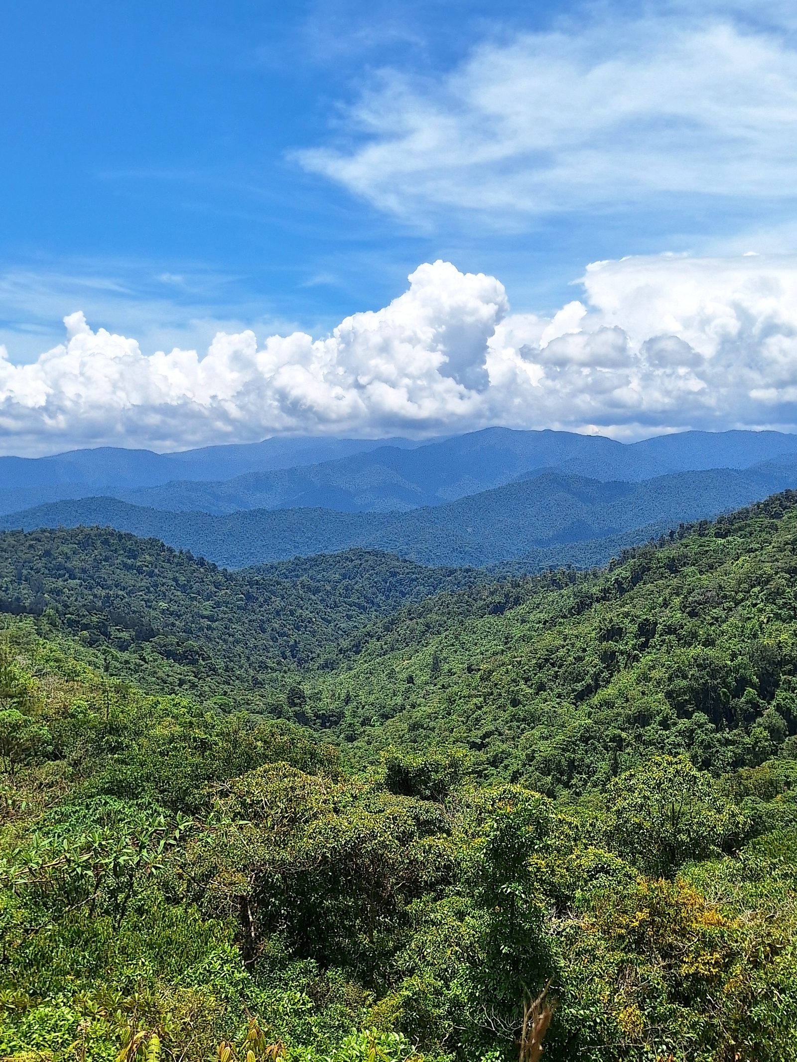
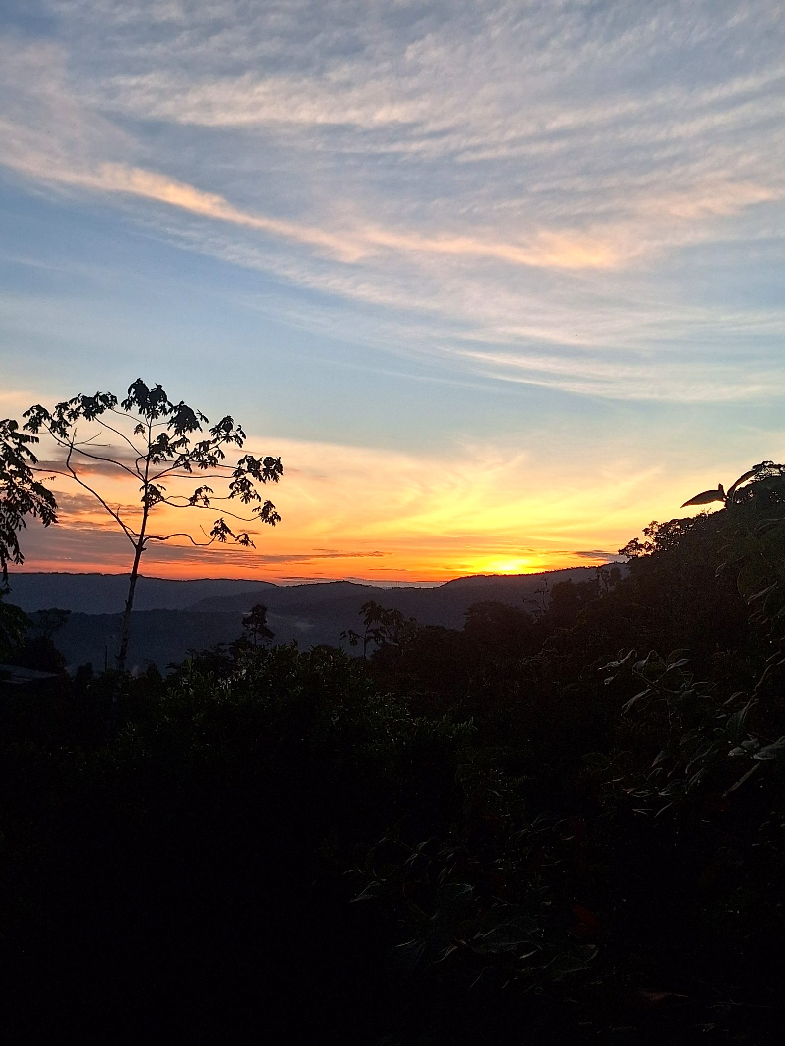
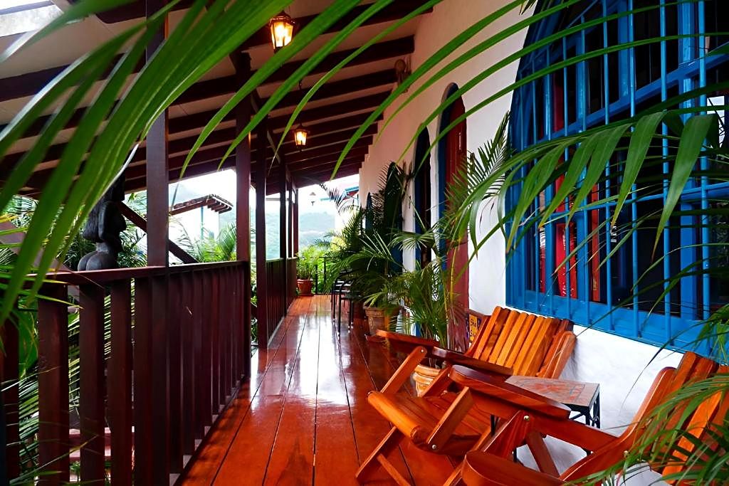
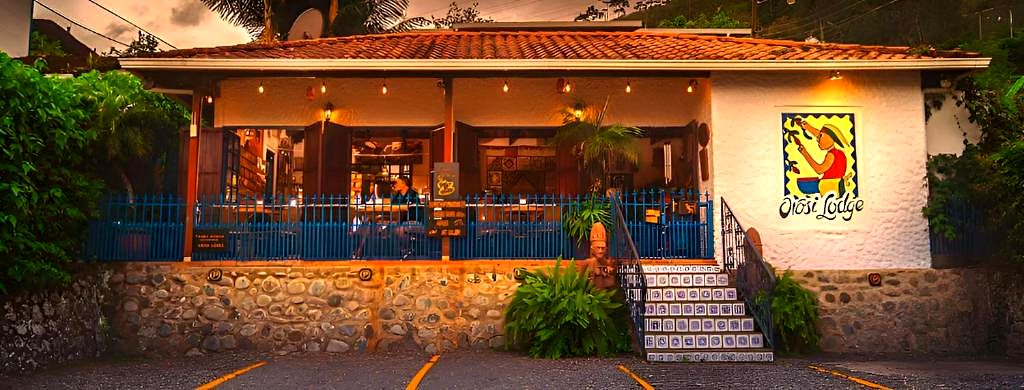
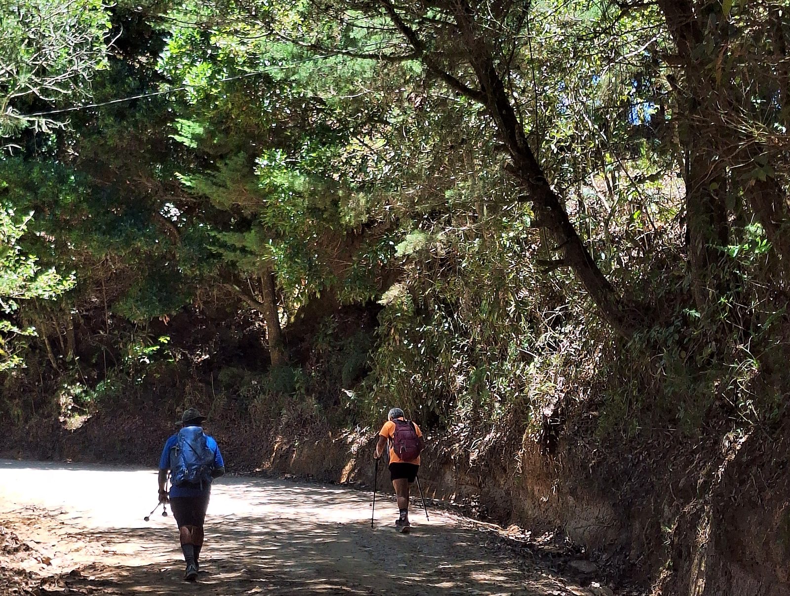
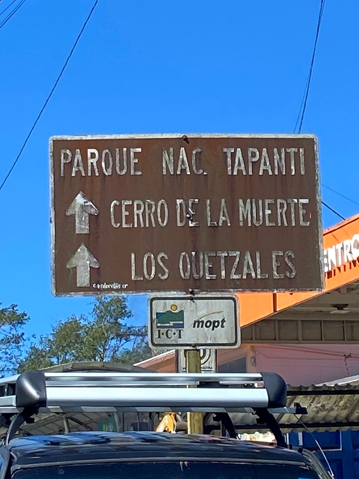
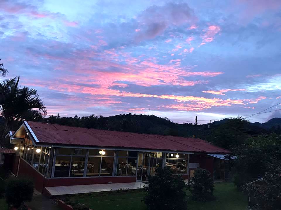
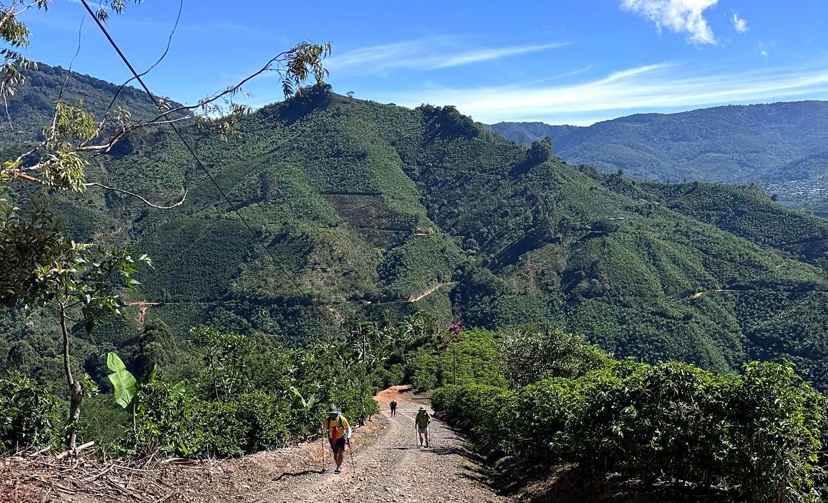
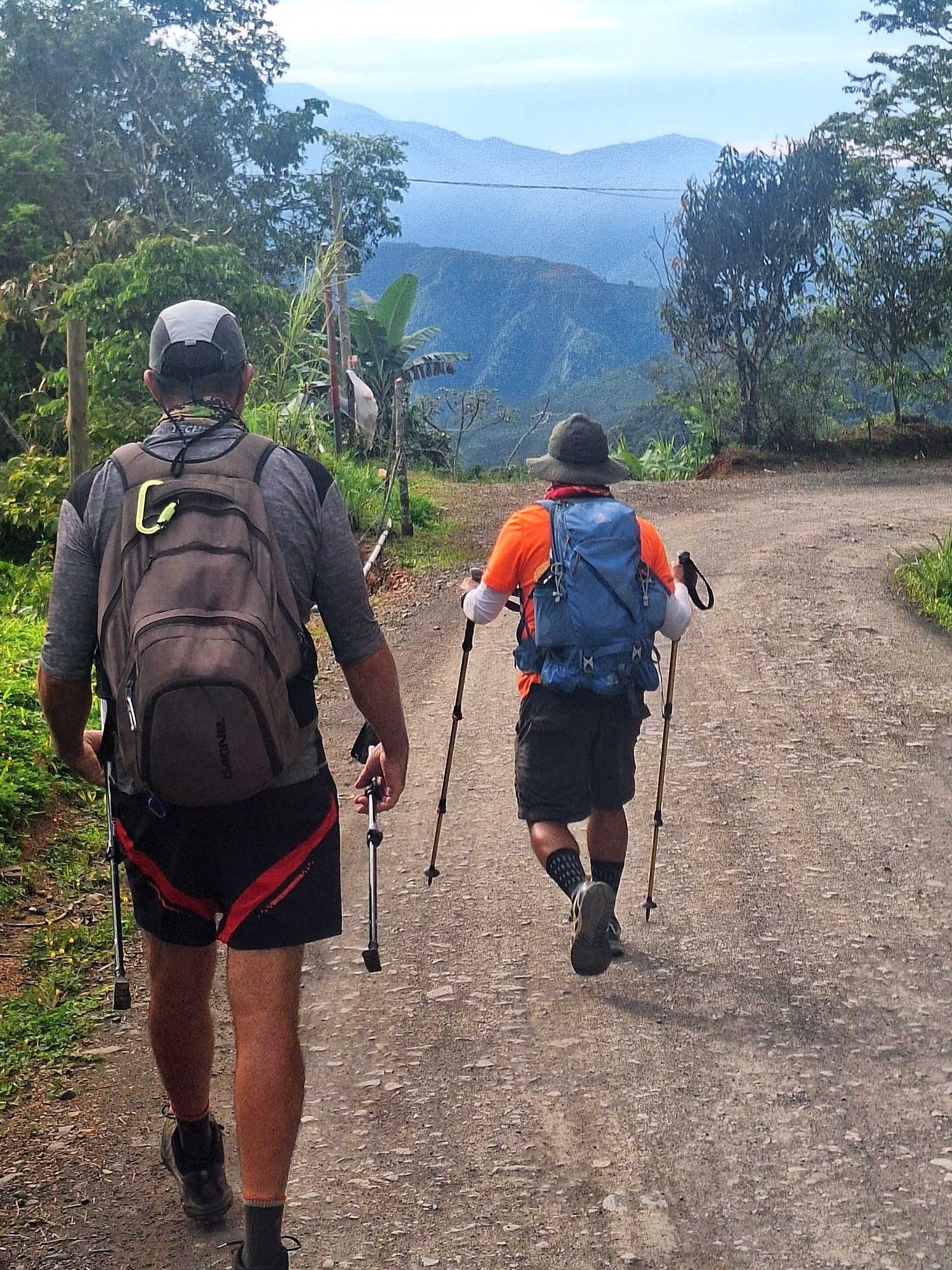
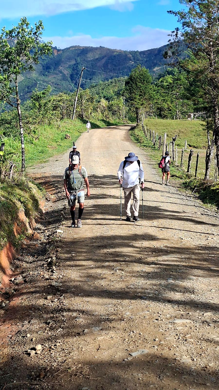
  8. Day 8 · Over the hills to Orosi. A long climb over the hills to one of Costa Rica's most beautiful valleys: the colonial church of Orosi from 1743, the Cachí reservoir, coffee farms and hot springs near the lodge.Stage 8 · El Humo → Tapantí National Park · 16 km · 1,165 m up, 610 m down · 700 m to 1,270 m · Valley lodge in Orosi, 1,060 m · Breakfast and lunch; dinner in Orosi villageHikers on a forest road above Orosi, Day 8A rocky stream in the forestGreen ridges and clouds over the Orosi ValleySunset over the hills from the valley lodgeDay 8 of the Camino de Costa Rica, on the way to OrosiDay 8 of the Camino de Costa Rica, on the way to OrosiDay 8 of the Camino de Costa Rica, on the way to OrosiDay 8 of the Camino de Costa Rica, on the way to OrosiDay 8 of the Camino de Costa Rica, on the way to OrosiDay 8 of the Camino de Costa Rica: the lodge in OrosiDay 8 of the Camino de Costa Rica: the lodge in OrosiDay 8 of the Camino de Costa Rica: the lodge in OrosiDay 8 of the Camino de Costa Rica: the lodge in OrosiDay 8 of the Camino de Costa Rica: the lodge in OrosiDay 8 of the Camino de Costa Rica: the lodge in OrosiDay 8 of the Camino de Costa Rica: the lodge in OrosiDay 8 of the Camino de Costa Rica: the lodge in OrosiDay 8 of the Camino de Costa Rica: the lodge in Orosi
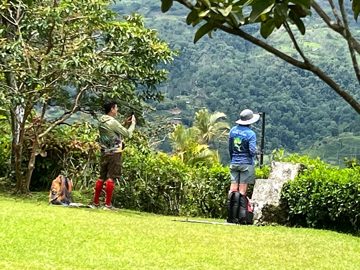
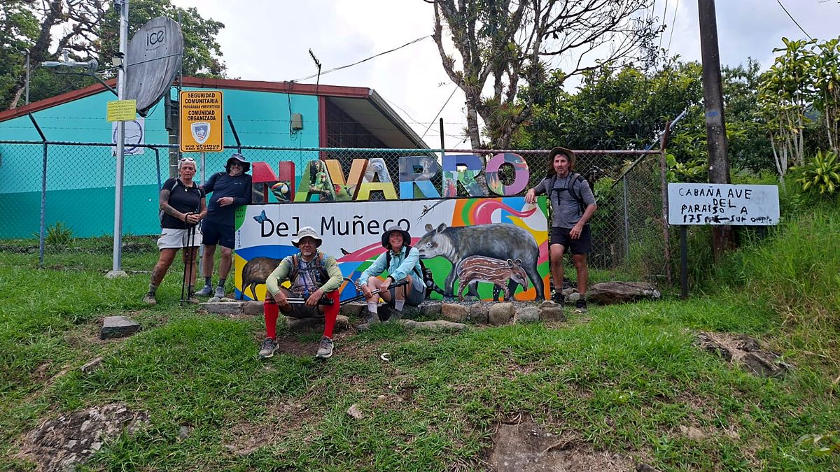
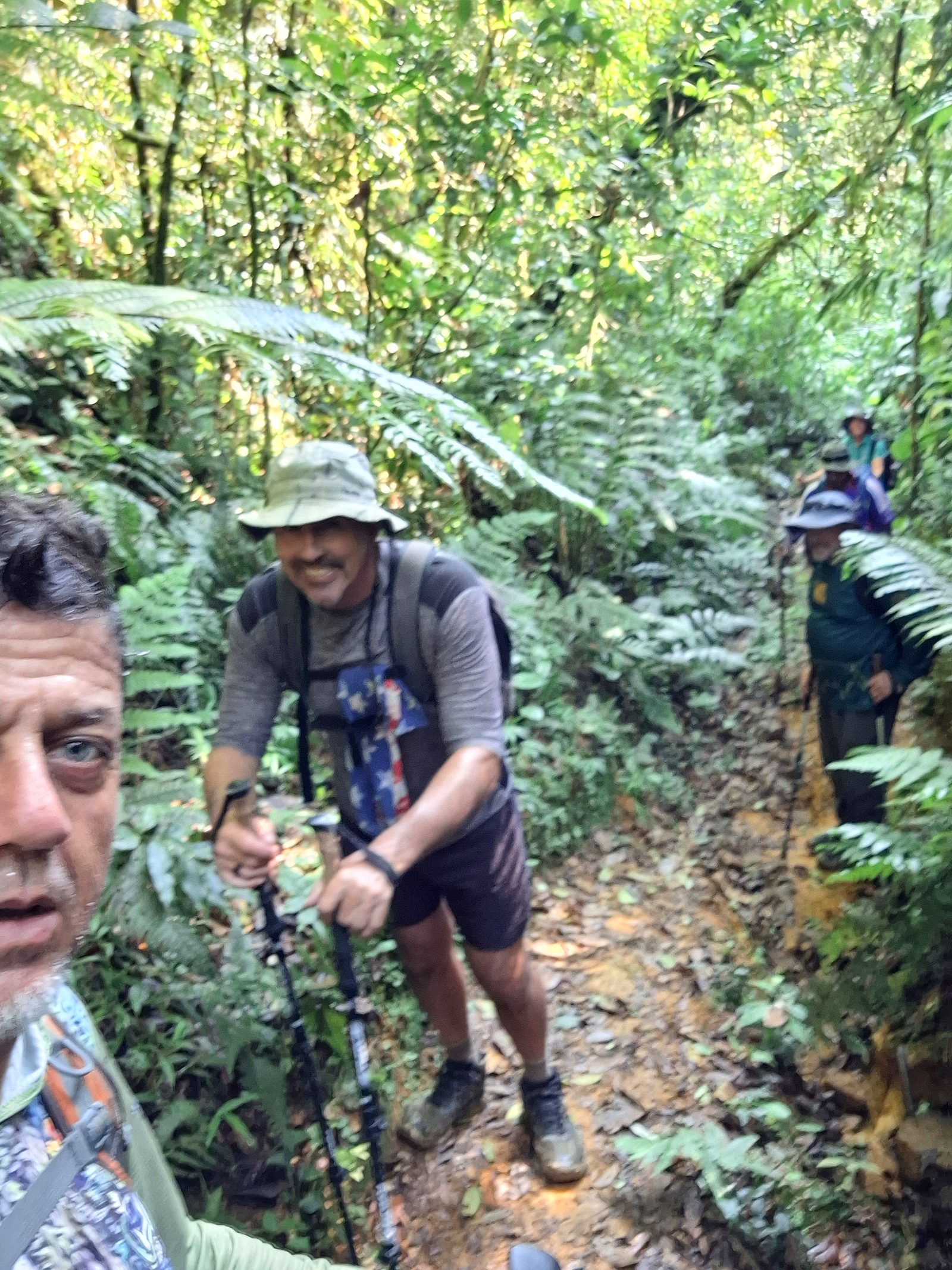
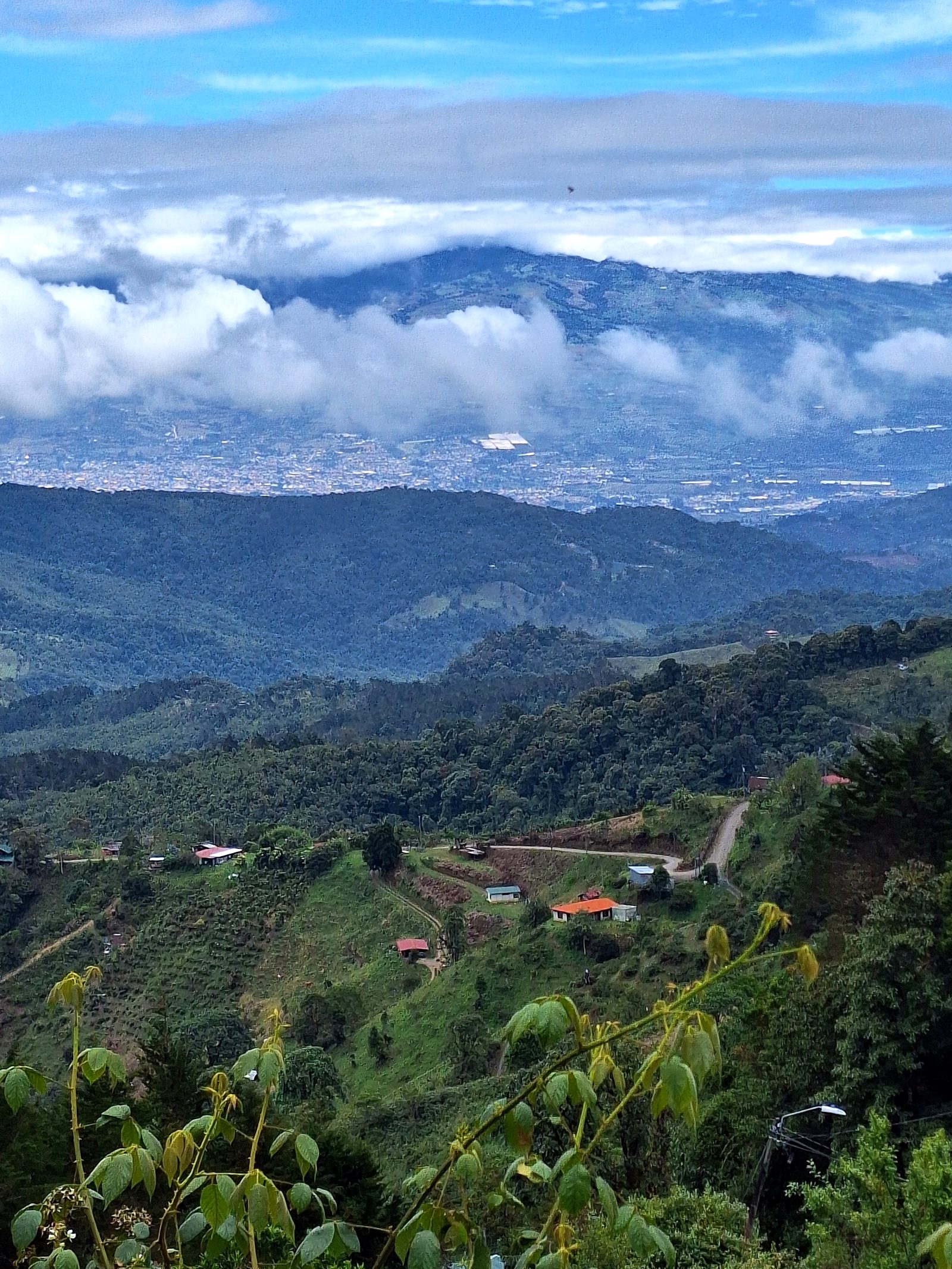
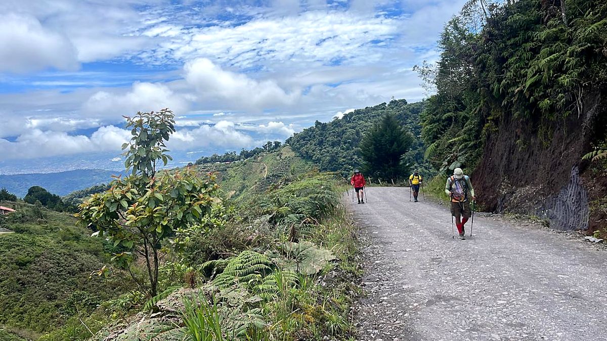
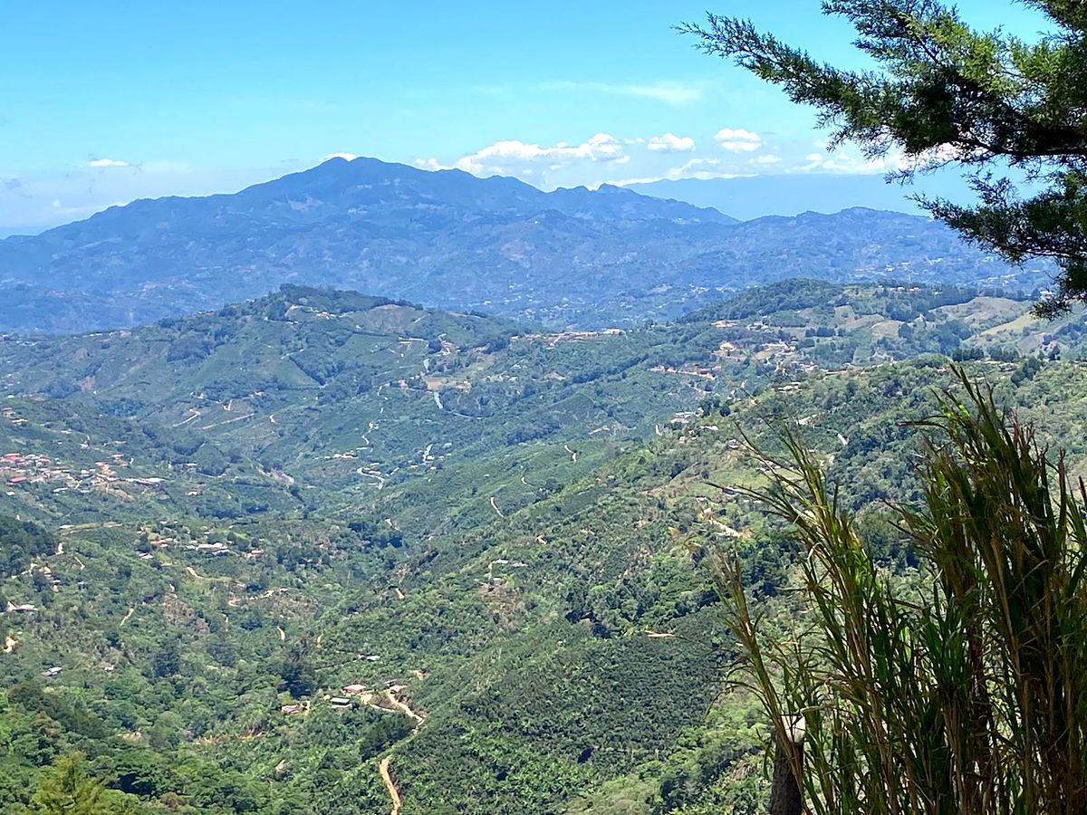
  9. Day 9 · A new mountain range. A serious mountain stage into the Talamanca Range. The air cools and the forest thickens, and the evening ends in the thermal pools of a hot-springs resort.Stage 9 · Tapantí (Purisil) → Río Macho → Orosi → Navarro del Muñeco · 23.2 km · 932 m up, 934 m down · 1,200 m to 1,110 m · Hot-springs resort at Río Perlas · All mealsHikers on a forest trail toward Muñeco, Day 9A dirt road with a view of the valleyThe view back over the valley from the climbTwo hikers on a ridge in the Talamanca RangeDay 9 of the Camino de Costa Rica, on the way to Navarro del MuñecoDay 9 of the Camino de Costa Rica, on the way to Navarro del MuñecoDay 9 of the Camino de Costa Rica, on the way to Navarro del MuñecoDay 9 of the Camino de Costa Rica, on the way to Navarro del MuñecoDay 9 of the Camino de Costa Rica: Río Perlas hot springsDay 9 of the Camino de Costa Rica: Río Perlas hot springsDay 9 of the Camino de Costa Rica: Río Perlas hot springsDay 9 of the Camino de Costa Rica: Río Perlas hot springsDay 9 of the Camino de Costa Rica: Río Perlas hot springsDay 9 of the Camino de Costa Rica: Río Perlas hot springsDay 9 of the Camino de Costa Rica: Río Perlas hot springsDay 9 of the Camino de Costa Rica: Río Perlas hot springsDay 9 of the Camino de Costa Rica: Río Perlas hot springsDay 9 of the Camino de Costa Rica: Río Perlas hot springsDay 9 of the Camino de Costa Rica, on the way to Navarro del Muñeco
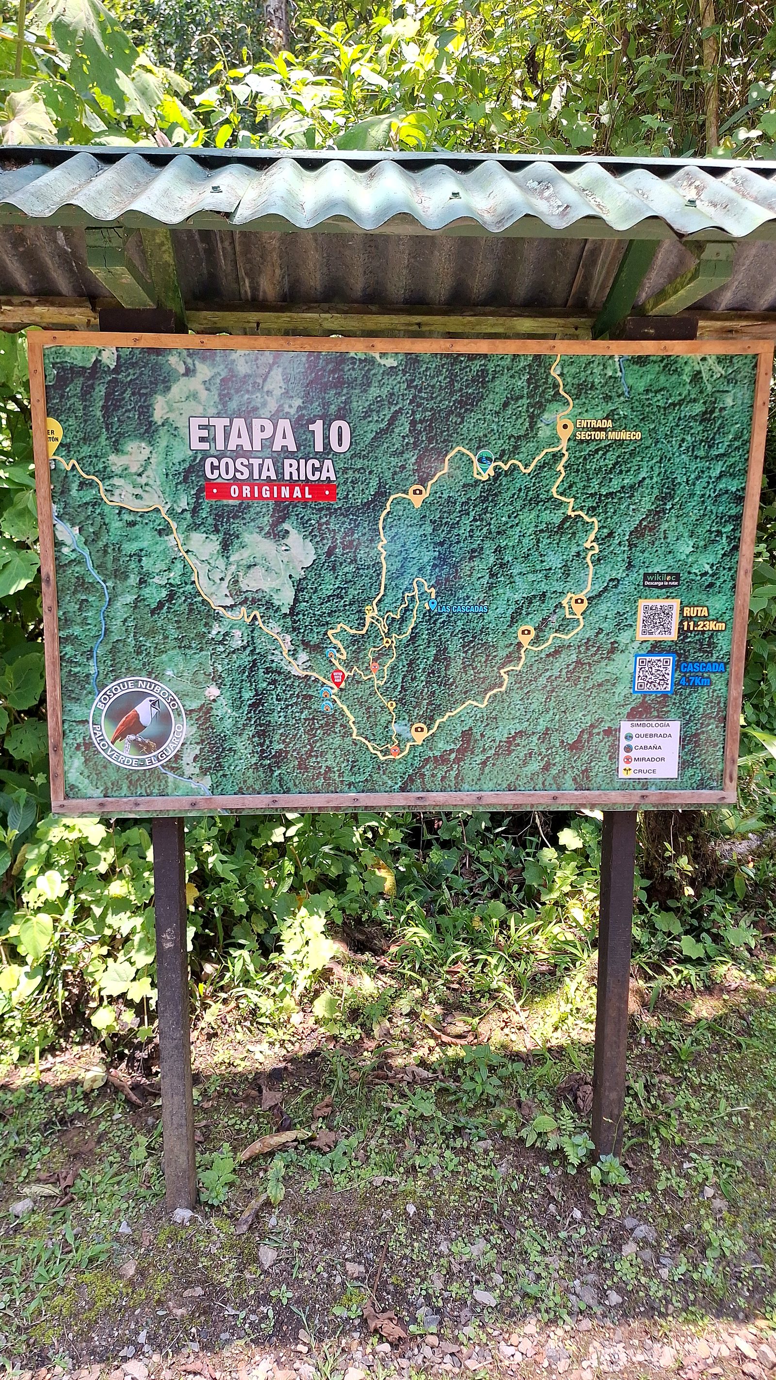
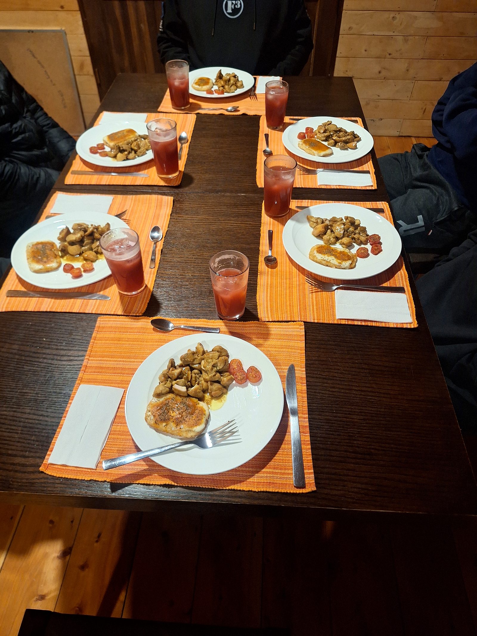
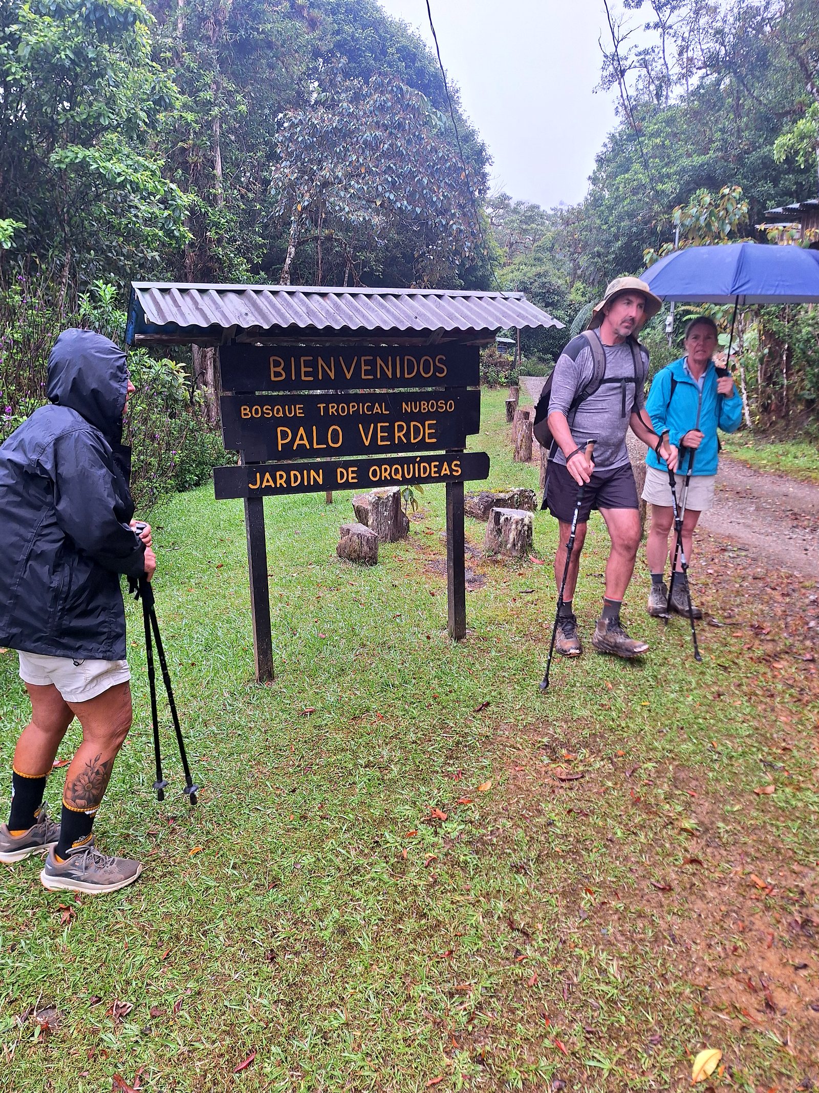
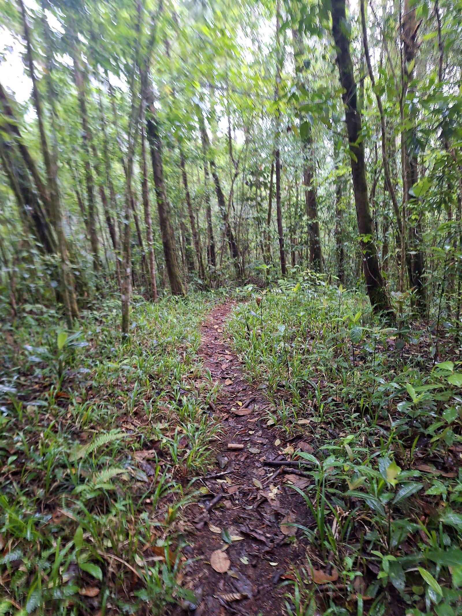
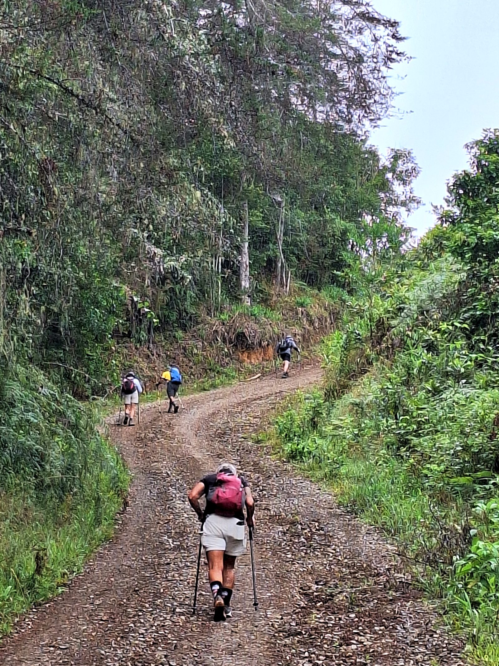
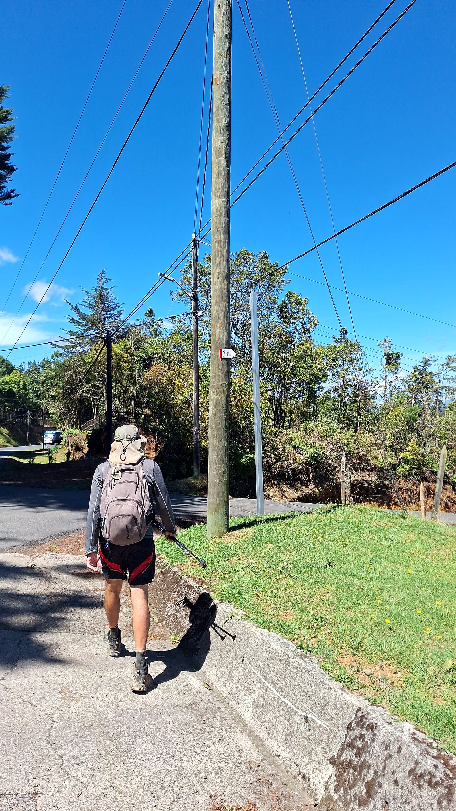
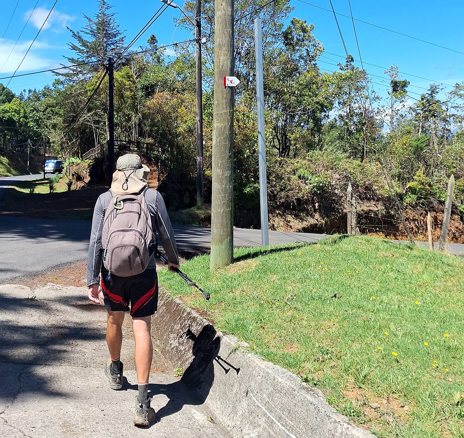
  10. Day 10 · Up to Palo Verde. The shortest stage and a steep one: up a rough track, then along a ridge past farms with wide views, to the Inter-American Highway and the cool mountain air of Palo Verde.Stage 10 · Navarro del Muñeco → Palo Verde · 9.1 km · 653 m up, 379 m down · 1,110 m to about 1,600 m · Forest mountain house with a hot tub · All mealsHikers on a steep forest trail, Day 10Our guide with hikers in the highland forestA trail map sign on the way to Palo VerdeDinner on the table at the forest mountain houseDay 10 of the Camino de Costa Rica, on the way to Palo VerdeDay 10 of the Camino de Costa Rica, on the way to Palo VerdeDay 10 of the Camino de Costa Rica, on the way to Palo VerdeDay 10 of the Camino de Costa Rica, on the way to Palo VerdeDay 10 of the Camino de Costa Rica: Armonía del Bosque, Palo VerdeDay 10 of the Camino de Costa Rica: Armonía del Bosque, Palo VerdeDay 10 of the Camino de Costa Rica: Armonía del Bosque, Palo VerdeDay 10 of the Camino de Costa Rica: Armonía del Bosque, Palo VerdeDay 10 of the Camino de Costa Rica: Armonía del Bosque, Palo VerdeDay 10 of the Camino de Costa Rica: Armonía del Bosque, Palo VerdeDay 10 of the Camino de Costa Rica: Armonía del Bosque, Palo Verde
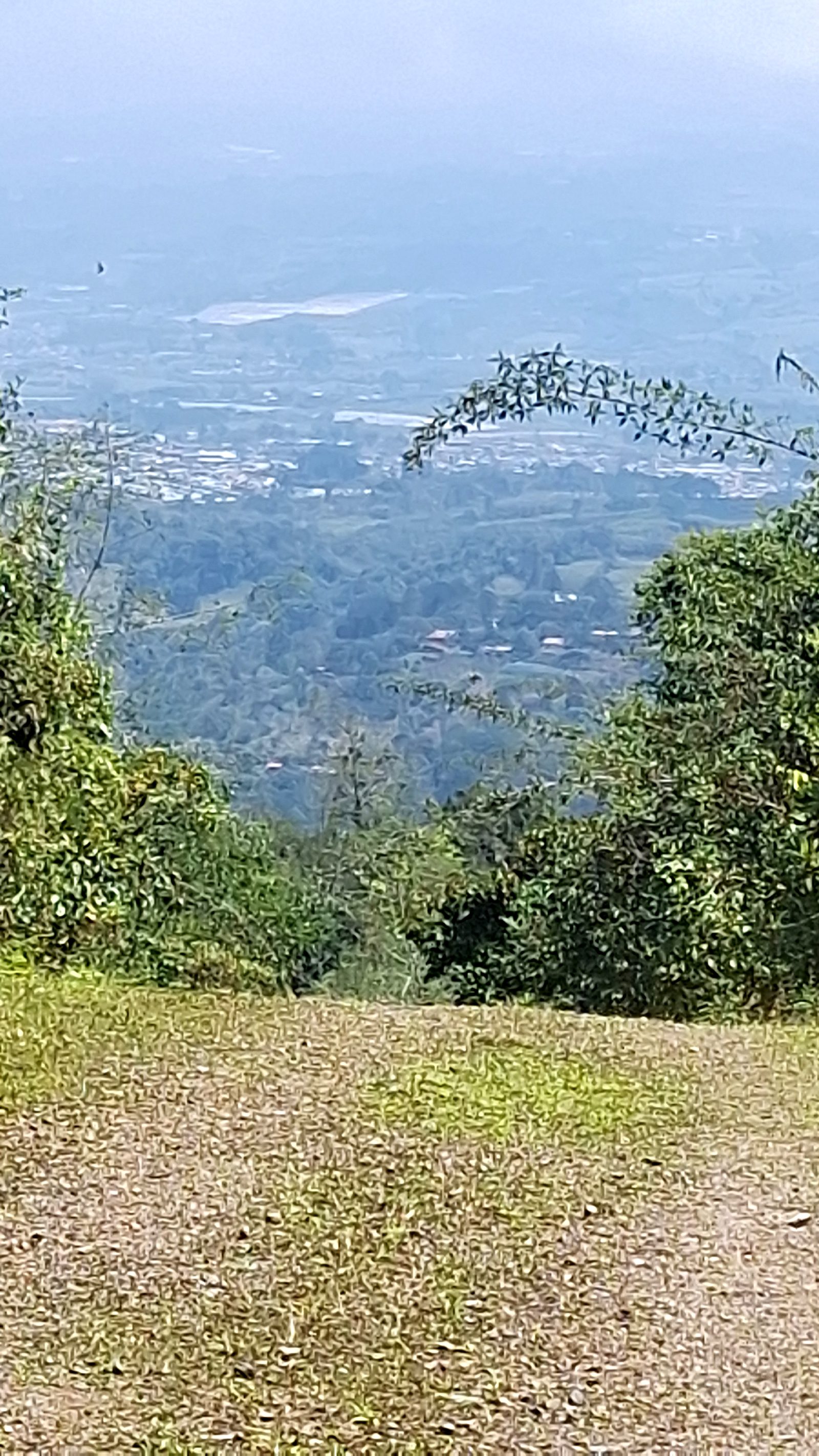
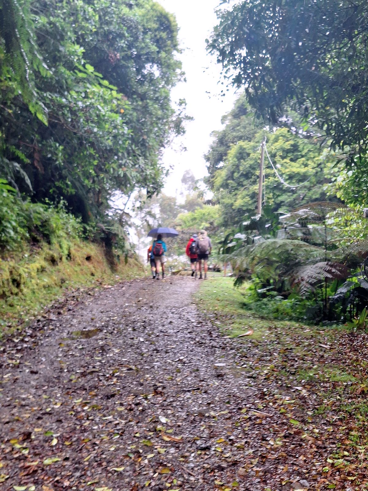
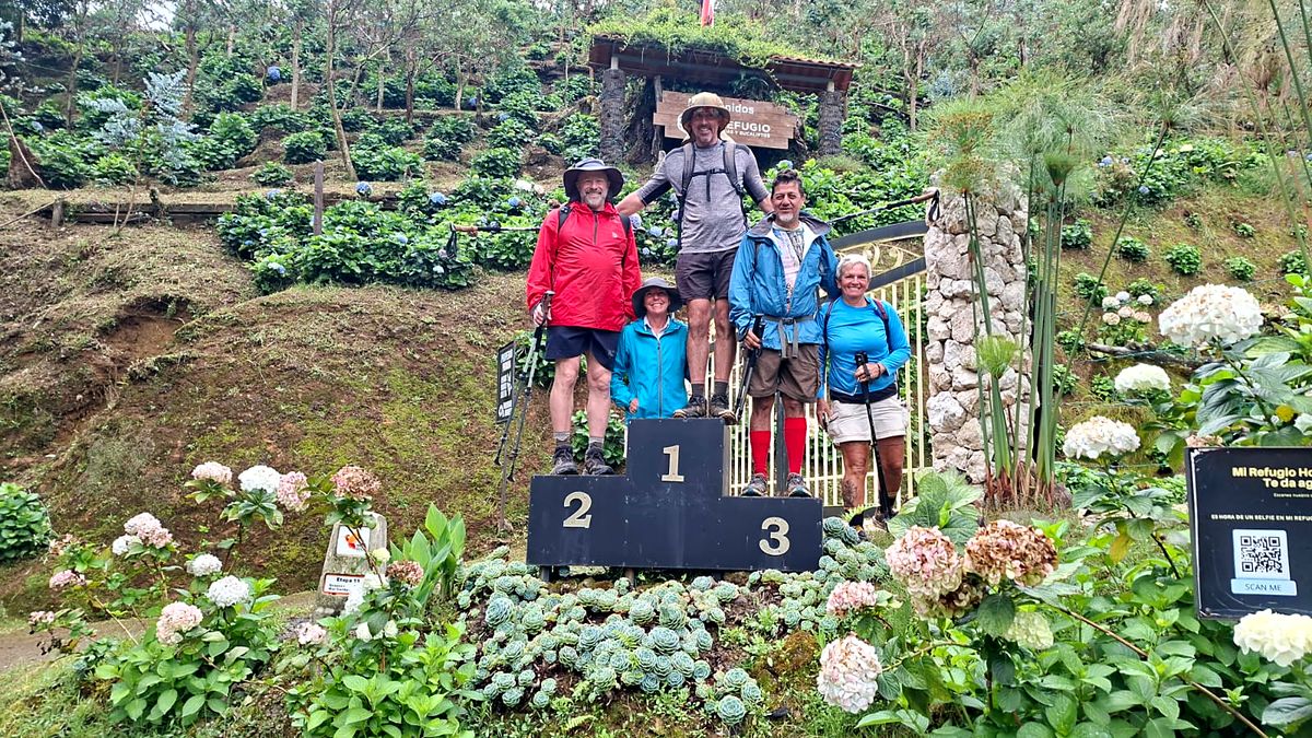
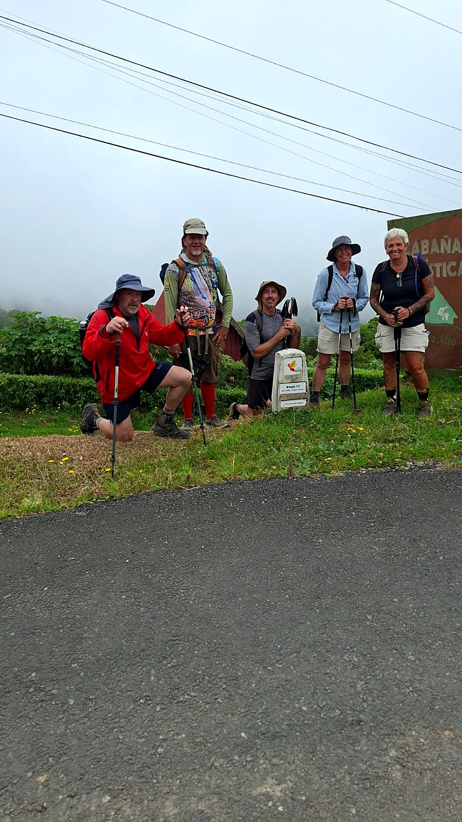
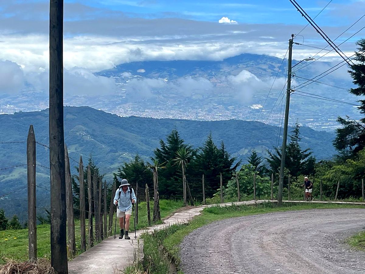
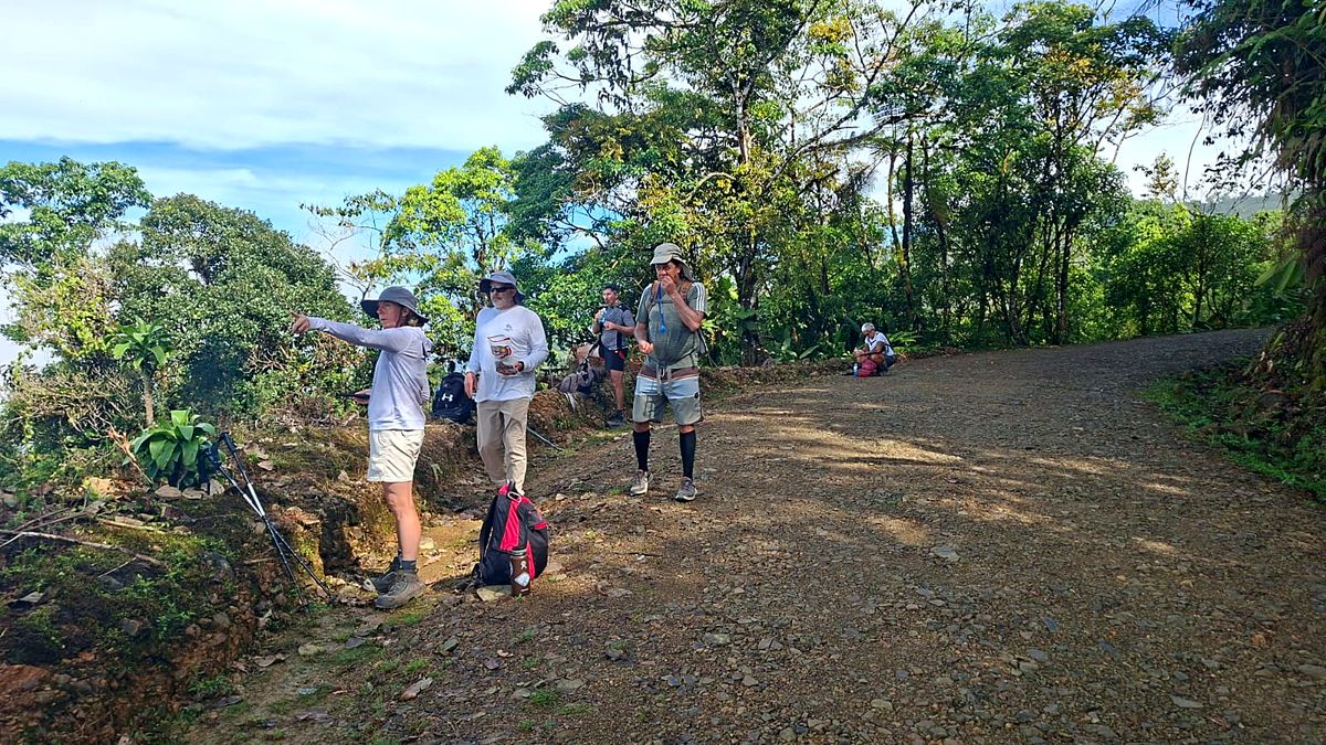
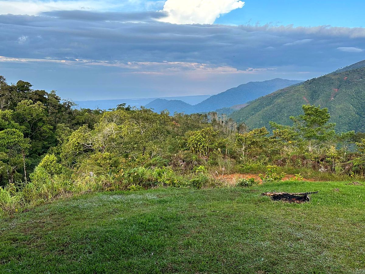
  11. Day 11 · Near the top. A hard climb of almost 1,000 m into cool highland forest, to Cerro Alto, at about 2,060 m. From here the rivers run toward the Pacific. The night is at a family-run lodge with a waterfall pool.Stage 11 · Palo Verde → La Luchita → Cerro Alto · 10 km · 928 m up, 324 m down · about 1,600 m to 2,060 m · Forest lodge · All mealsHikers at a trail sign on the Pacific slope, Day 11A path through tall forestA hiker on a steep trail toward El EmpalmeMountains above the Pacific slopeDay 11 of the Camino de Costa Rica, on the way to Cerro AltoDay 11 of the Camino de Costa Rica, on the way to Cerro AltoDay 11 of the Camino de Costa Rica, on the way to Cerro AltoDay 11 of the Camino de Costa Rica, on the way to Cerro AltoDay 11 of the Camino de Costa Rica, on the way to Cerro Alto
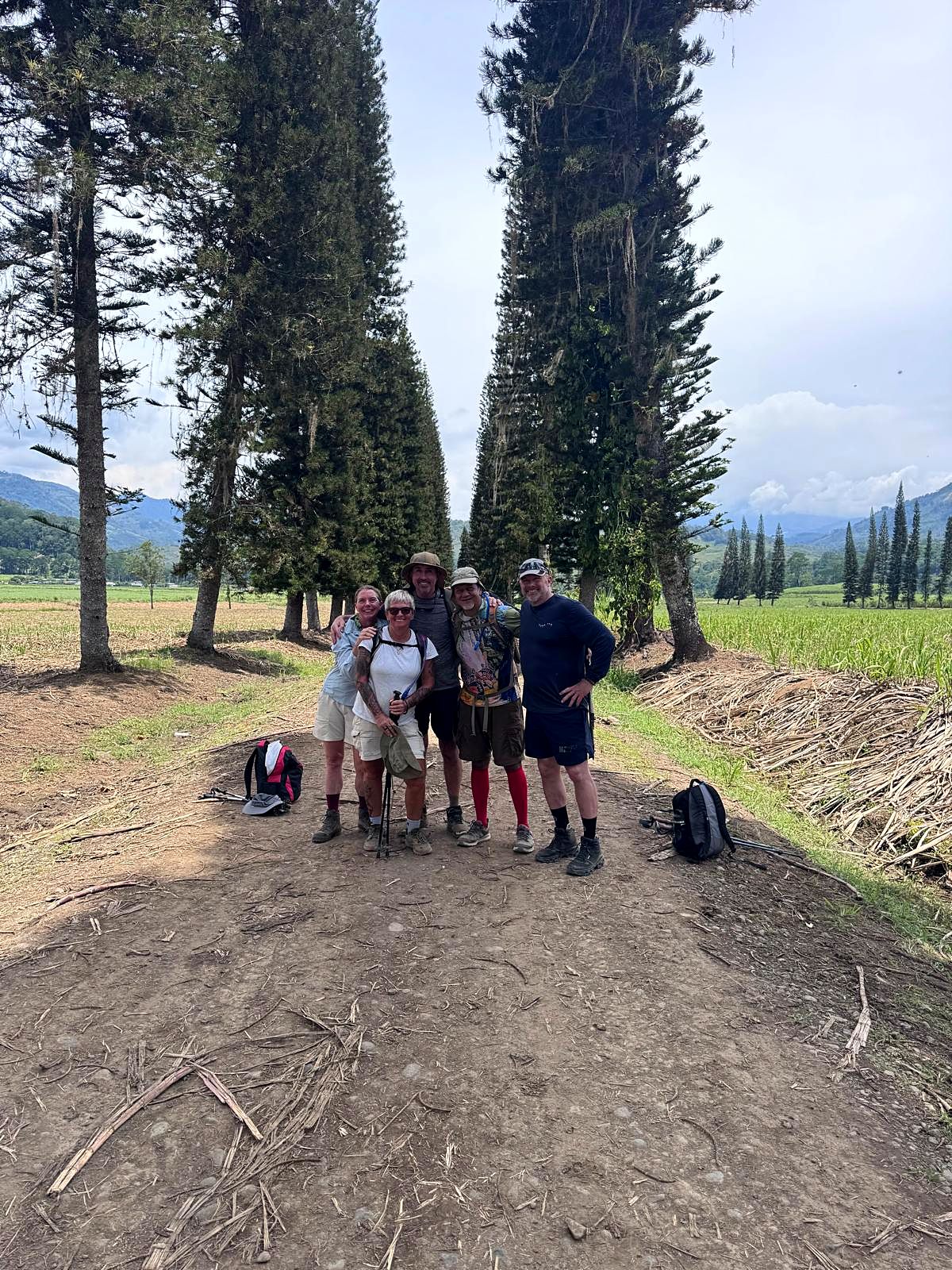
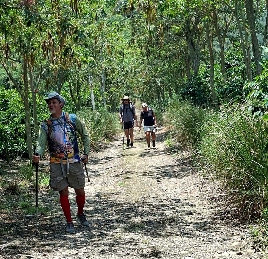
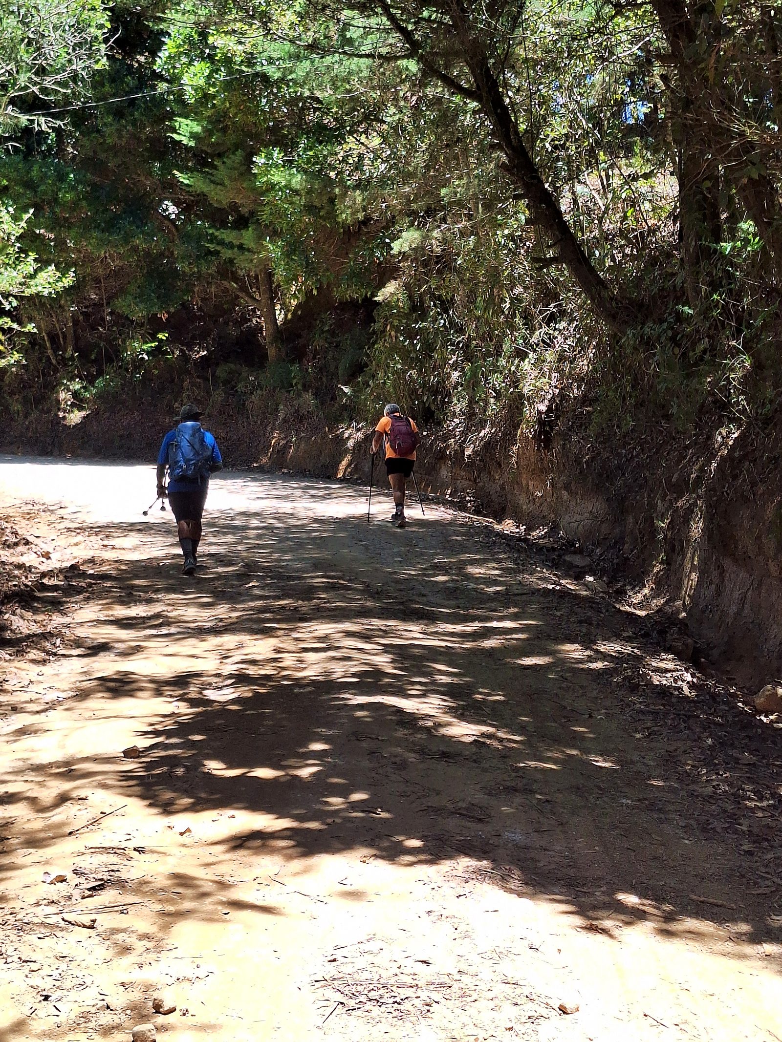
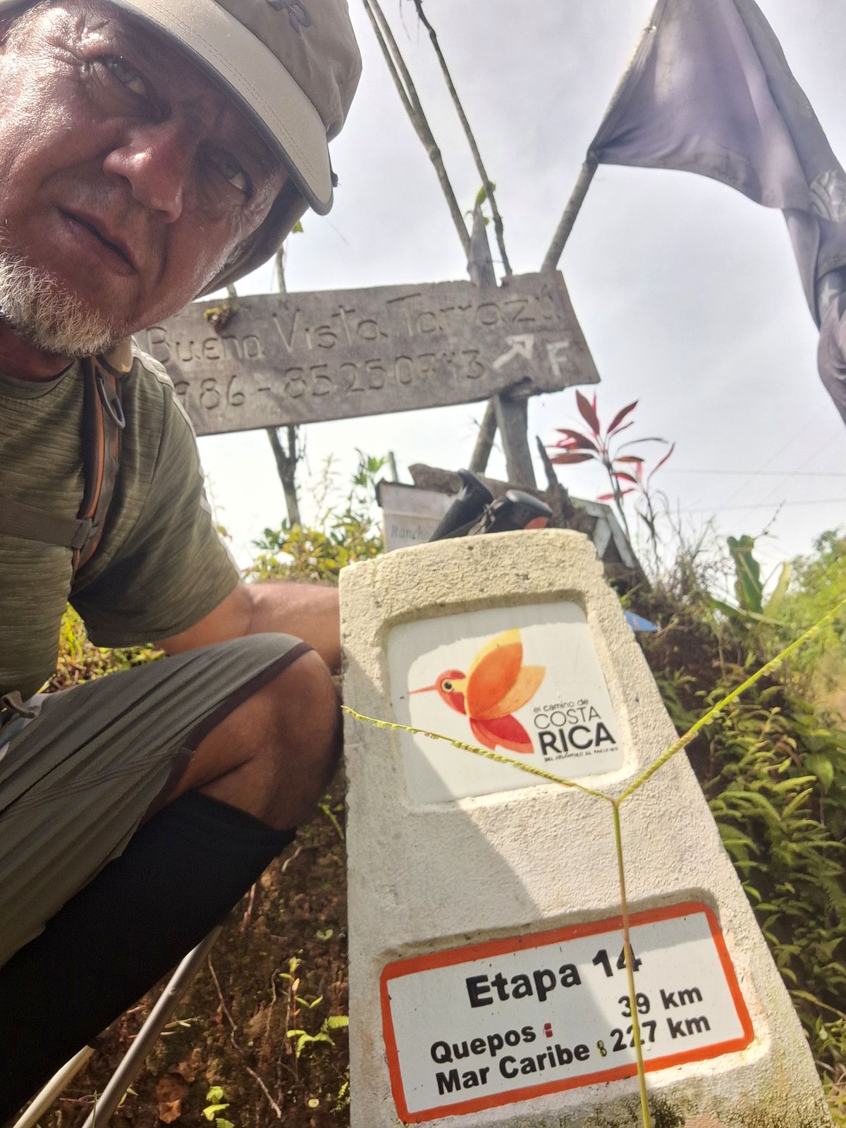
  12. Day 12 · Through the Valle del General. First the top of the trek, 2,347 m at Empalme, then down into one of Costa Rica's great farming valleys, between the Talamanca Range and the coastal hills: roadside sodas, farming families and towns that rarely see hikers. The hotel has the best pool of the route.Stage 12 · Cerro Alto → Empalme → Jardín de Dota → San Pablo de León Cortés · 18.8 km · 406 m up, 992 m down · 2,060 m, 2,347 m at Empalme (the highest point of the trek), 1,530 m at the end · Mountain hotel · All mealsA hiker on a road lined with palms, Day 12A hiker and a dog on the road to San PabloHikers on a shady dirt roadBig trees over the road in the Valle del GeneralDay 12 of the Camino de Costa Rica, on the way to San Pablo de León CortésDay 12 of the Camino de Costa Rica, on the way to San Pablo de León CortésDay 12 of the Camino de Costa Rica, on the way to San Pablo de León CortésDay 12 of the Camino de Costa Rica, on the way to San Pablo de León CortésDay 12 of the Camino de Costa Rica, on the way to San Pablo de León CortésDay 12 of the Camino de Costa Rica, on the way to San Pablo de León CortésDay 12 of the Camino de Costa Rica, on the way to San Pablo de León CortésDay 12 of the Camino de Costa Rica, on the way to San Pablo de León CortésDay 12 of the Camino de Costa Rica: Hotel Palenque, San PabloDay 12 of the Camino de Costa Rica: Hotel Palenque, San PabloDay 12 of the Camino de Costa Rica: Hotel Palenque, San PabloDay 12 of the Camino de Costa Rica: Hotel Palenque, San PabloDay 12 of the Camino de Costa Rica: Hotel Palenque, San Pablo
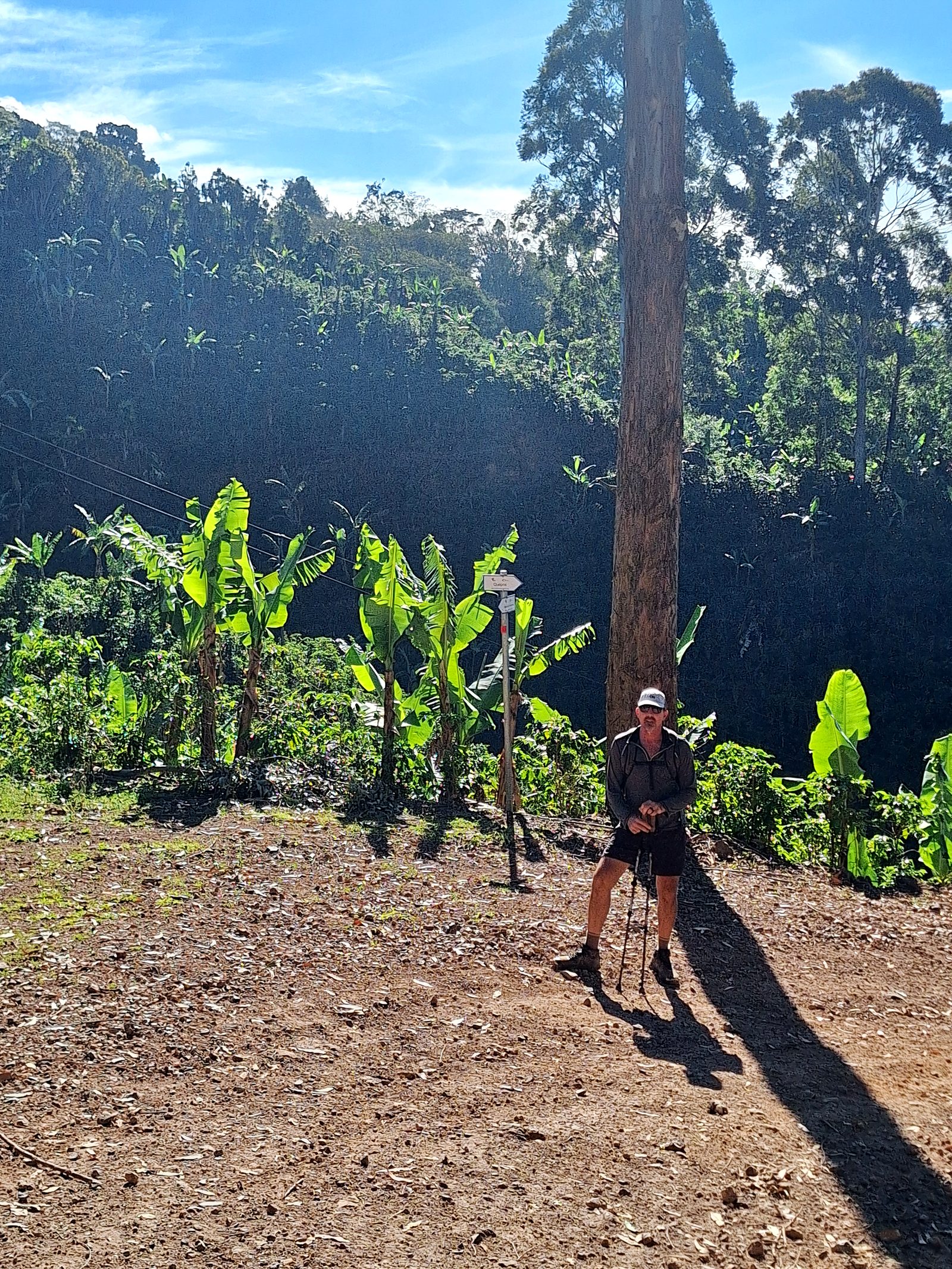
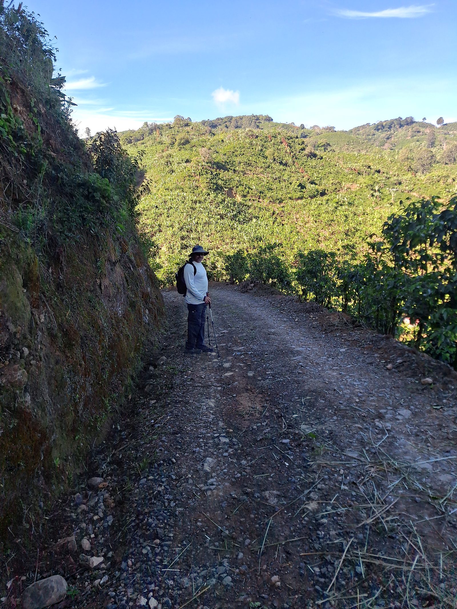
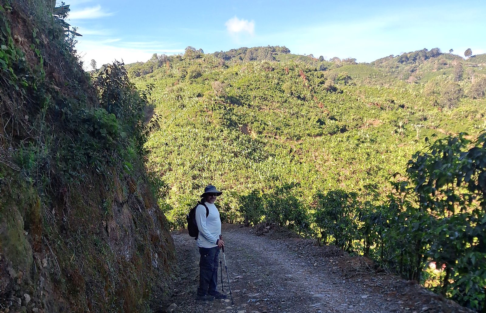
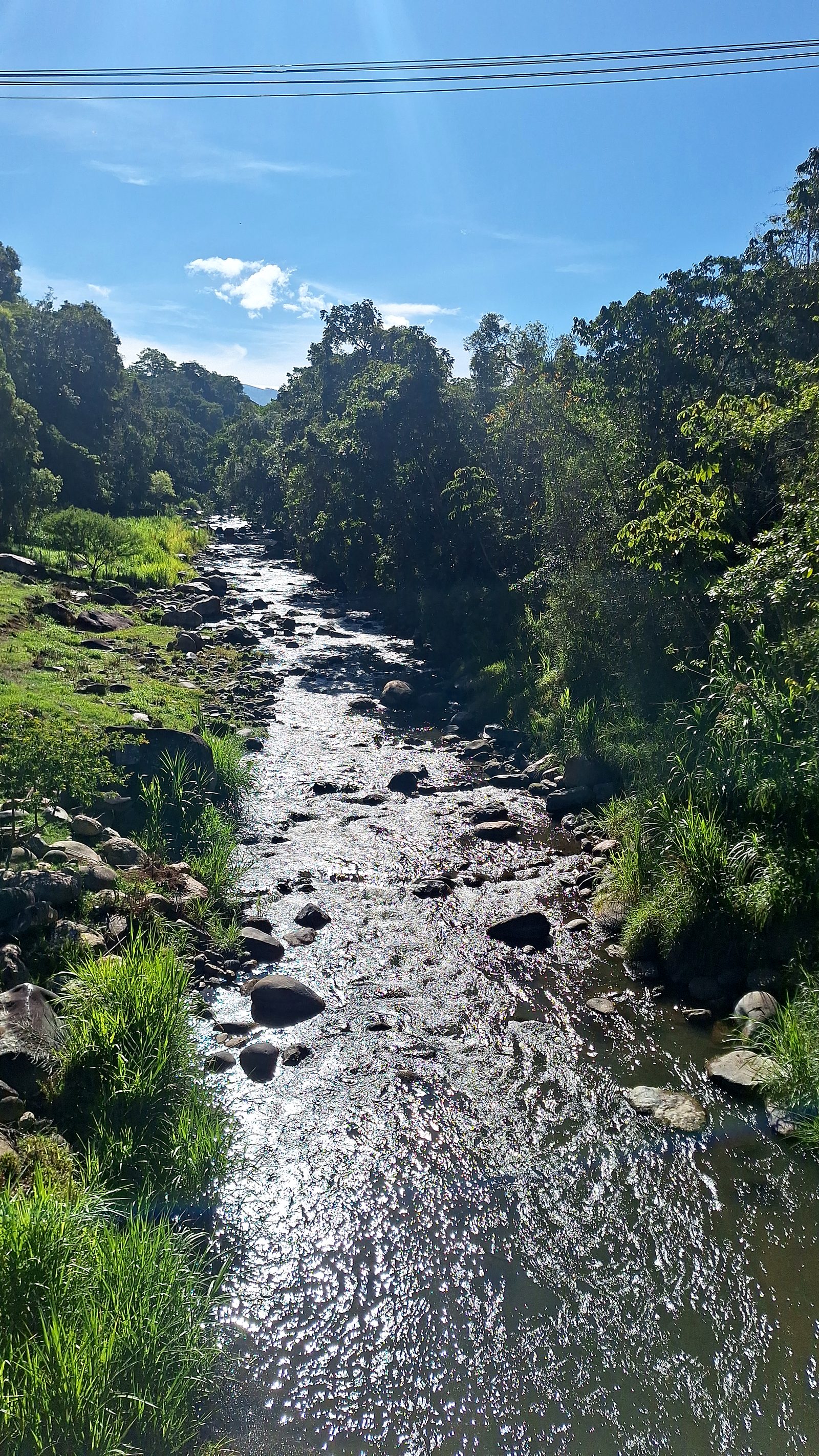
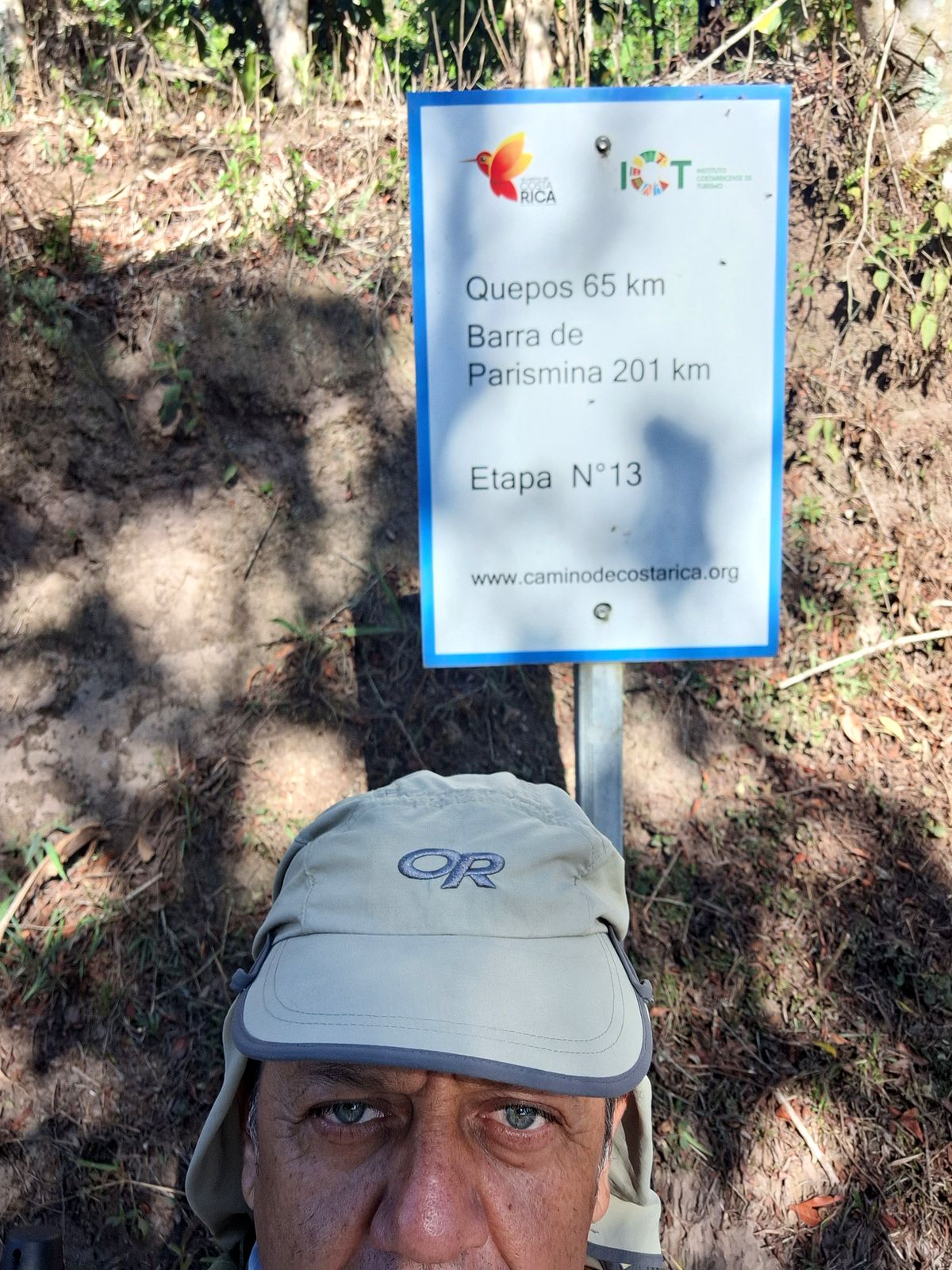
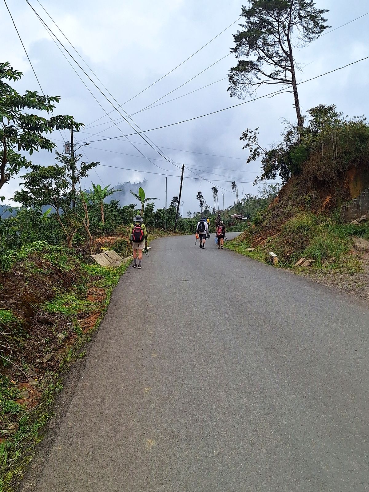
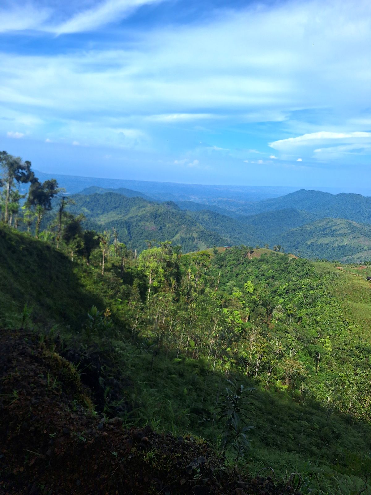
  13. Day 13 · The first sight of the Pacific. The descent to the coast begins through coffee country, and the Pacific appears on the horizon. In Nápoles you can smell the salt air.Stage 13 · San Pablo de León Cortés → San Gabriel → Nápoles · 18.5 km · 260 m up, 275 m down · 1,530 m to 1,500 m · Mountain hotel · All mealsA tall tree and banana plants beside the trail, Day 13A hiker on a road through the hillsA hiker below green coffee hills near NápolesA river in the forest below NápolesDay 13 of the Camino de Costa Rica, on the way to NápolesDay 13 of the Camino de Costa Rica, on the way to NápolesDay 13 of the Camino de Costa Rica, on the way to NápolesDay 13 of the Camino de Costa Rica, on the way to NápolesDay 13 of the Camino de Costa Rica, on the way to NápolesDay 13 of the Camino de Costa Rica, on the way to NápolesDay 13 of the Camino de Costa Rica, on the way to NápolesDay 13 of the Camino de Costa Rica, on the way to Nápoles
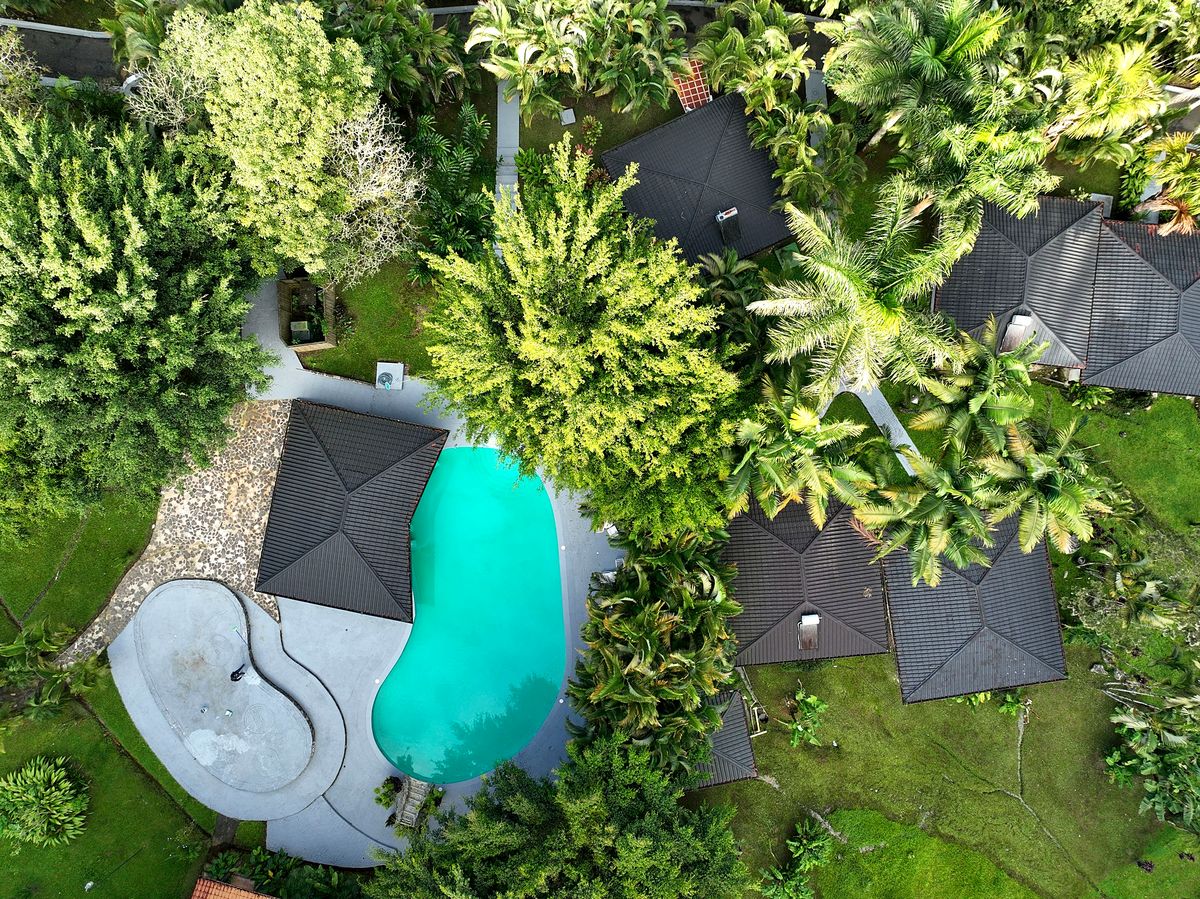
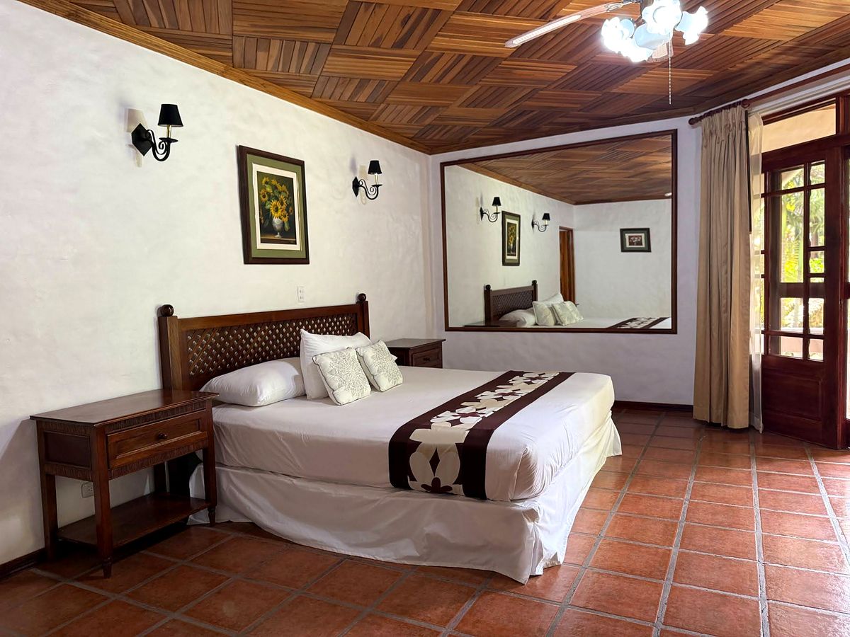
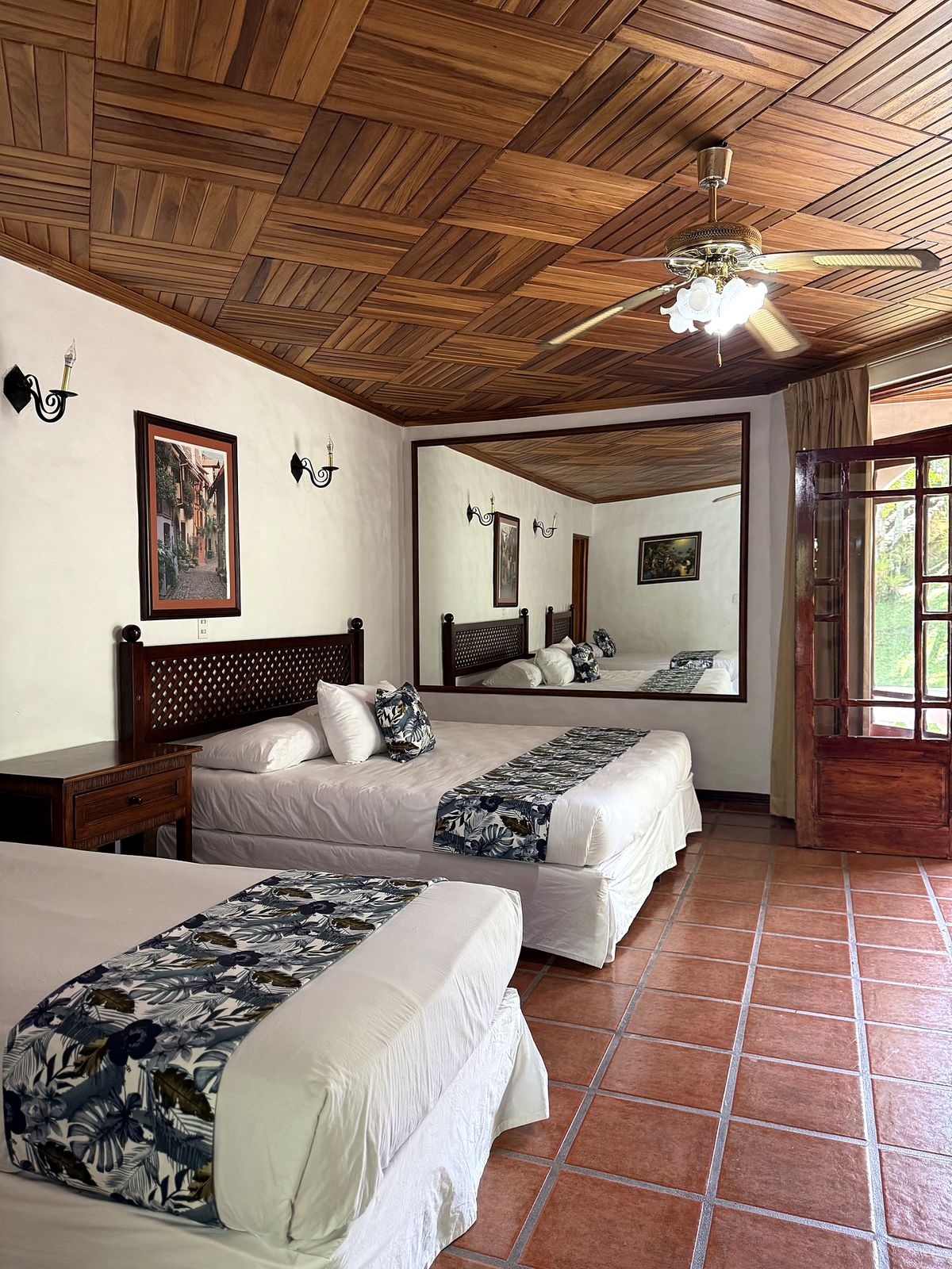
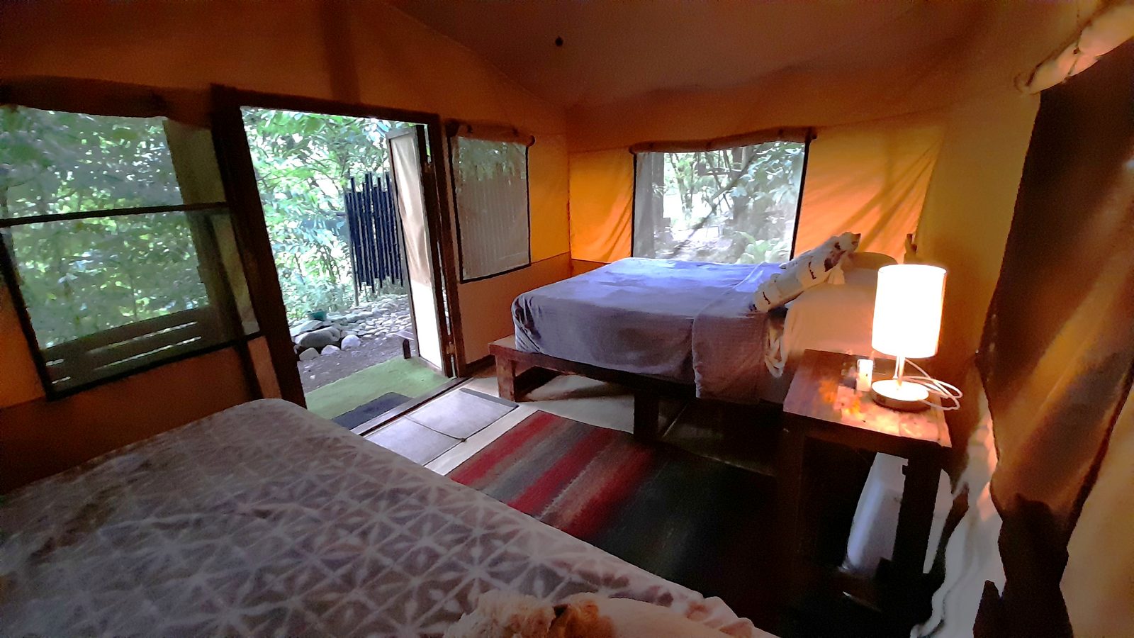
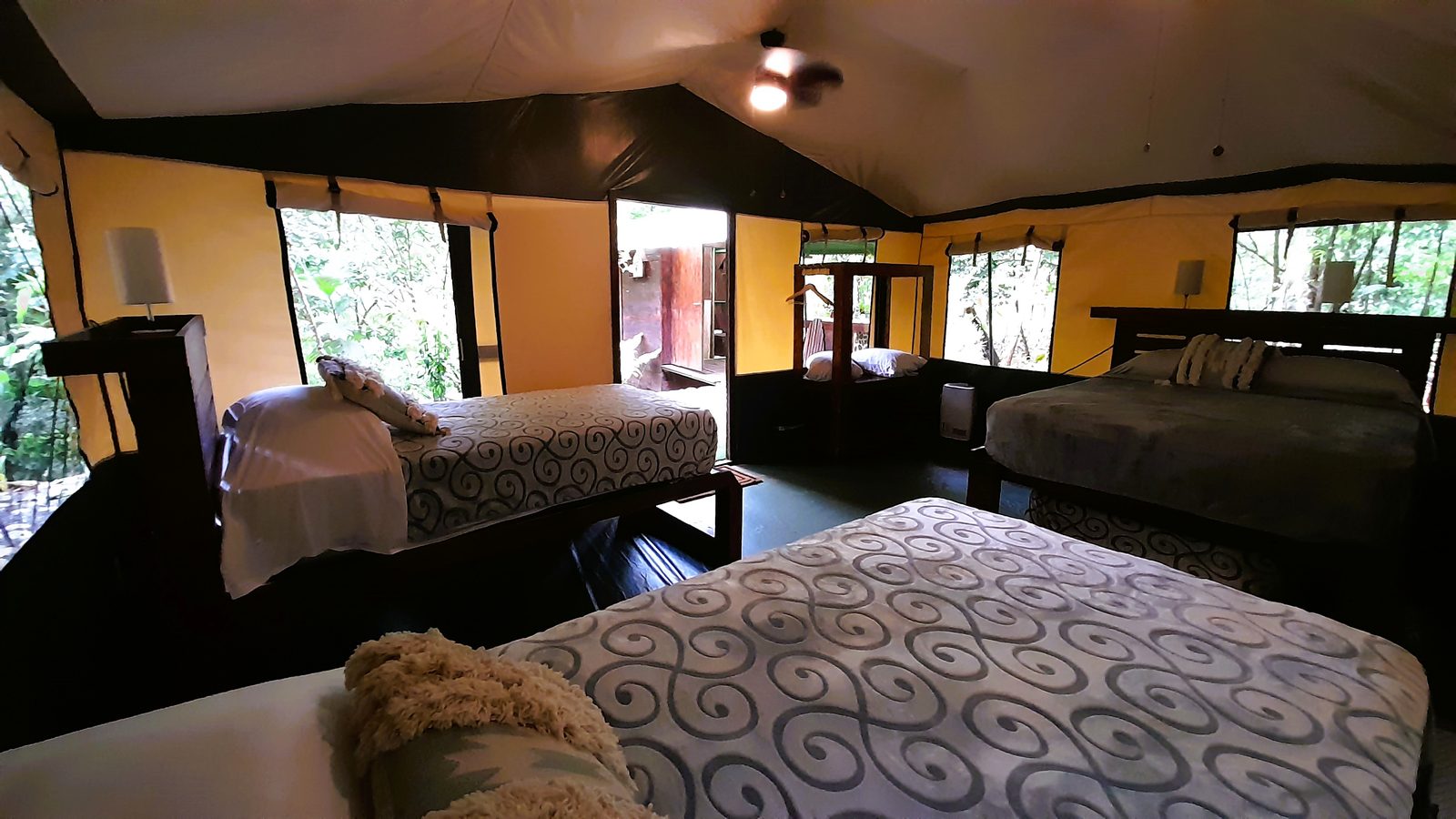
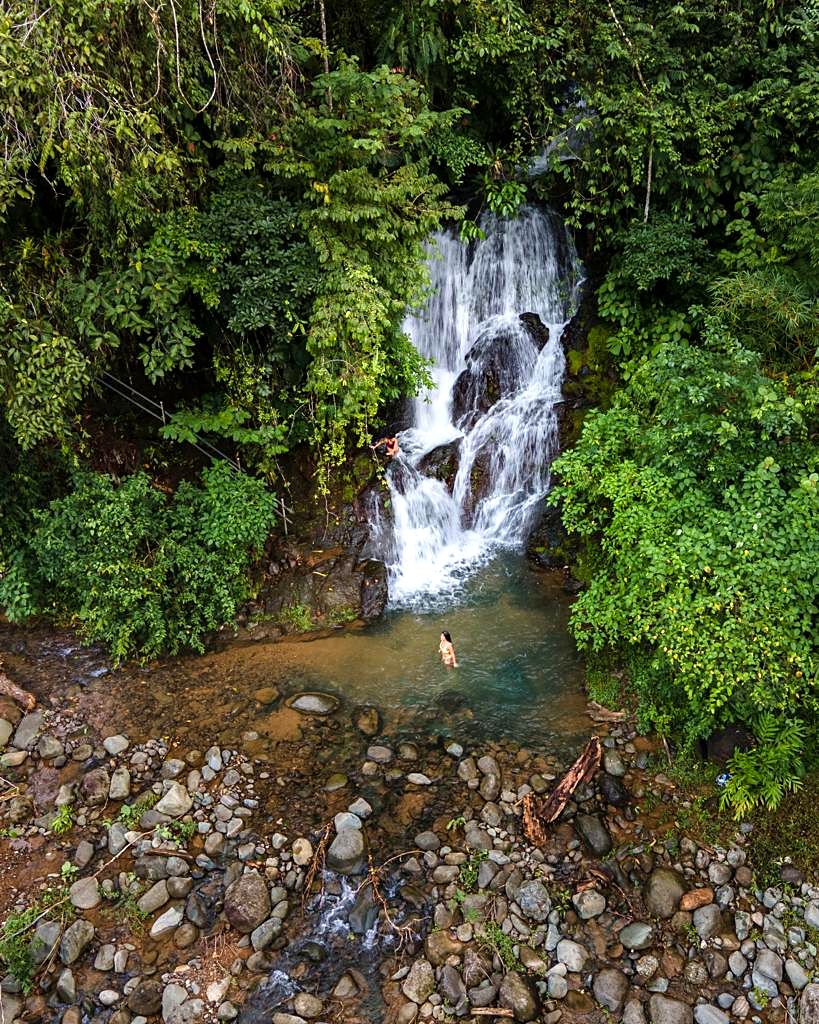
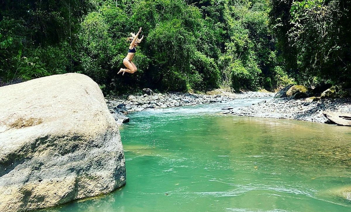
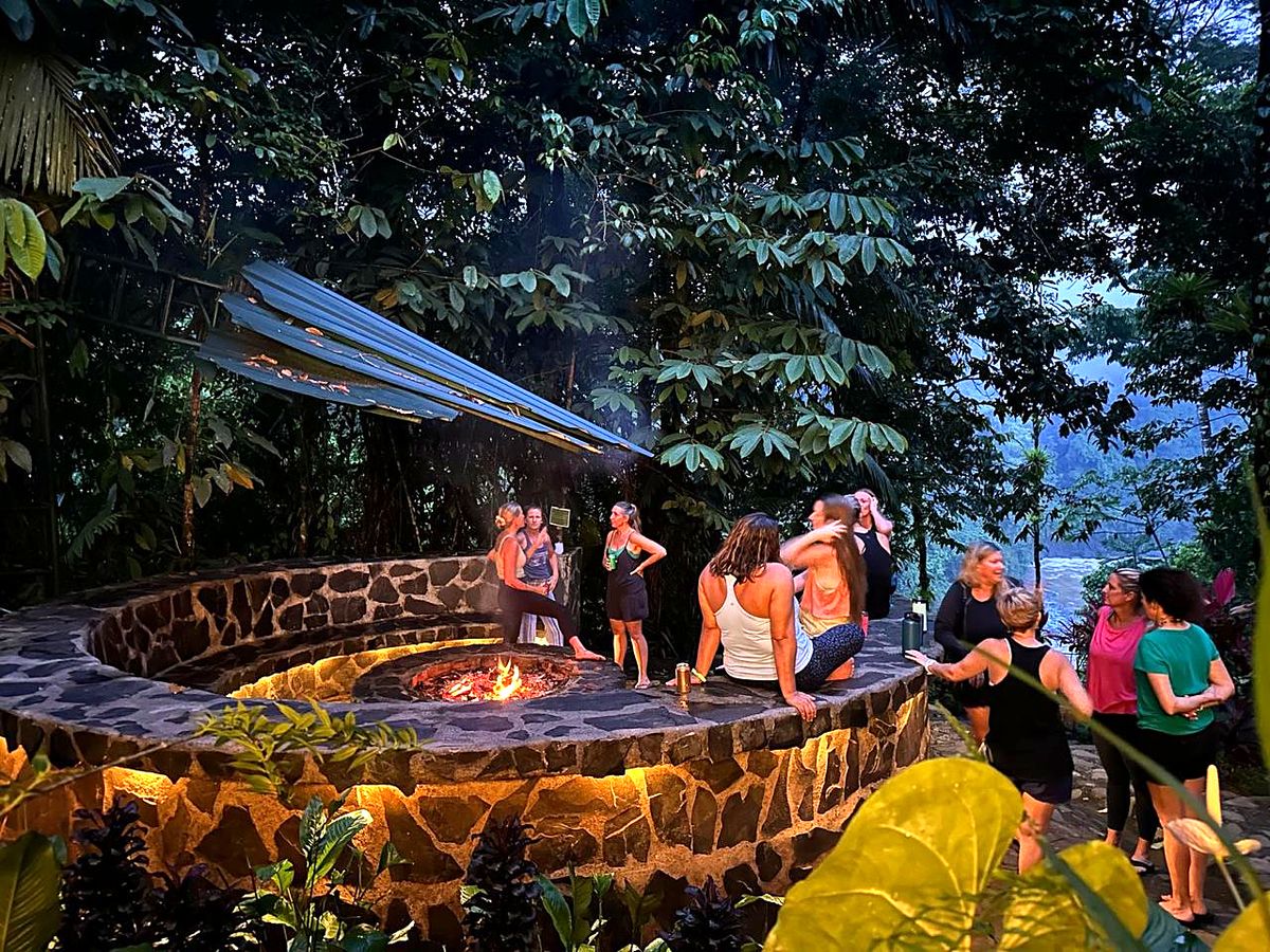
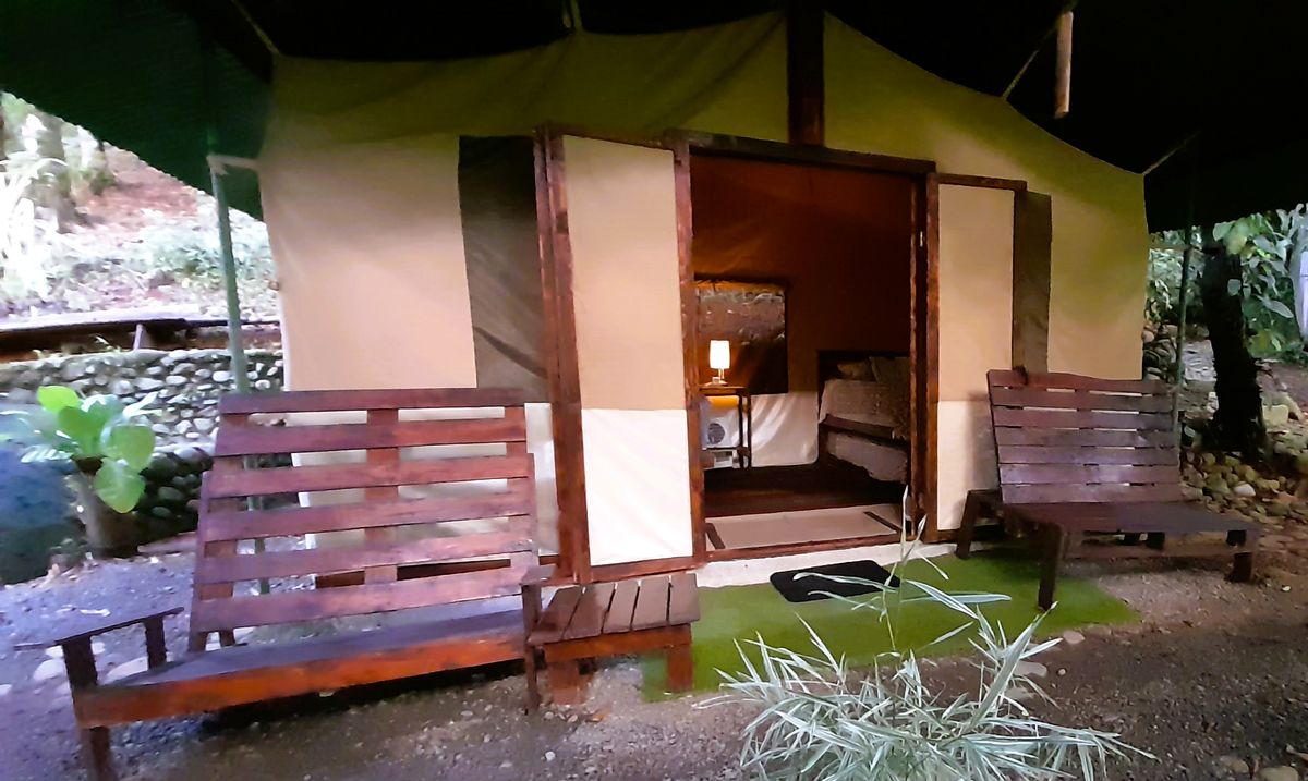
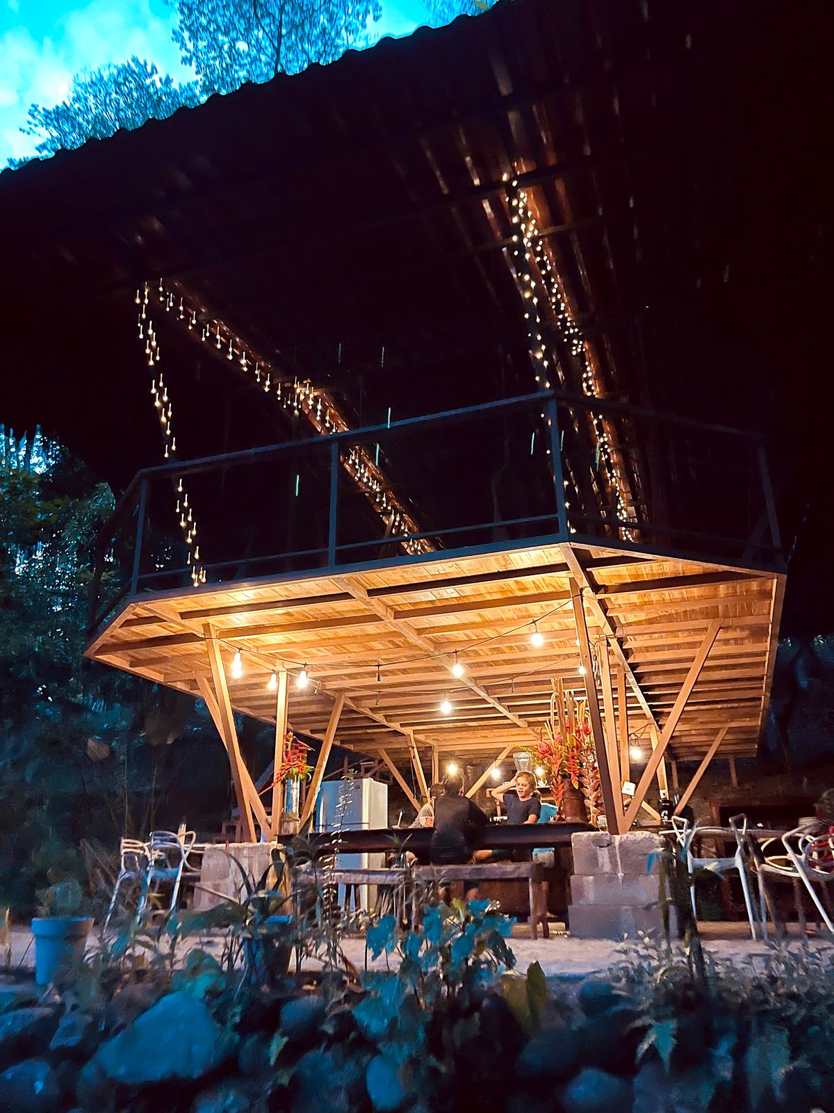
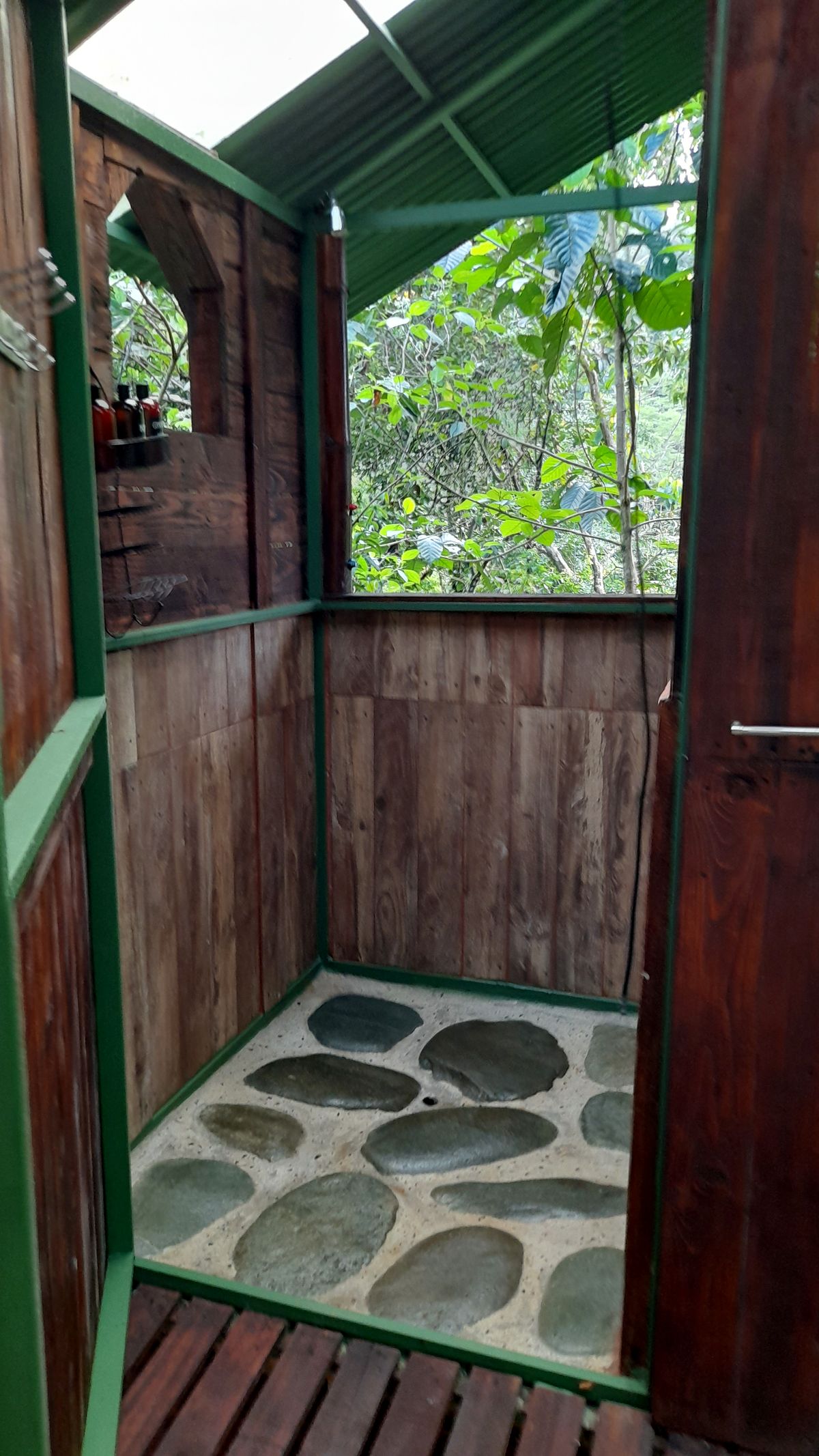
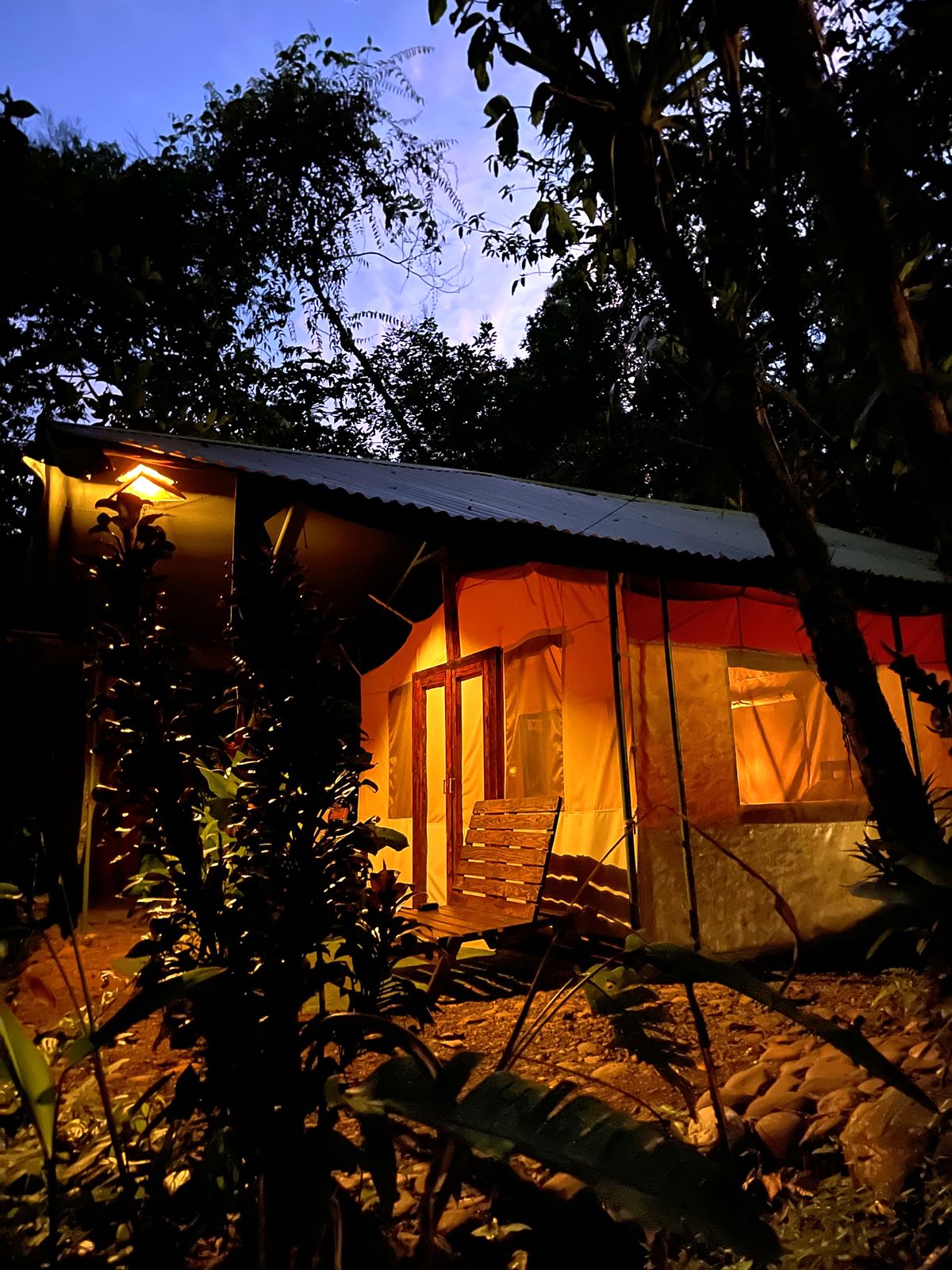
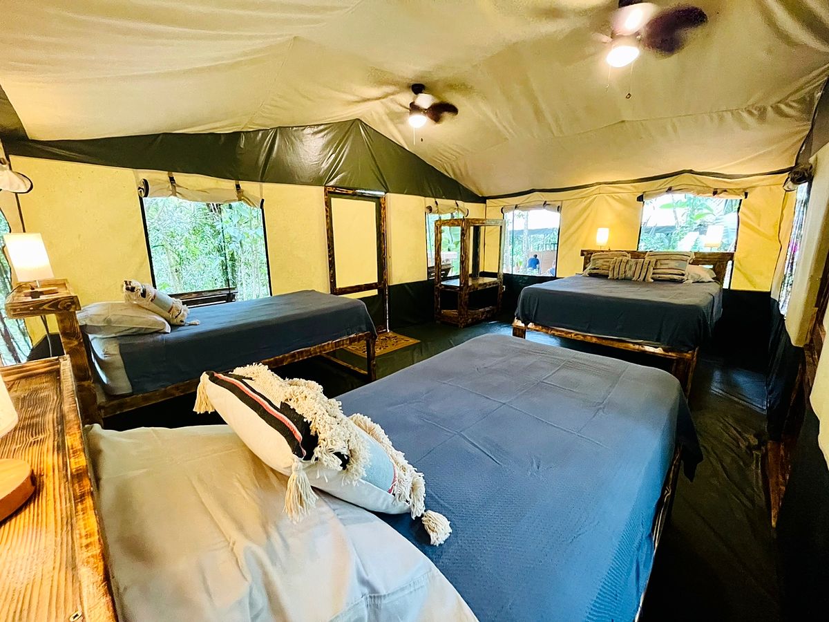
  14. Day 14 · Home at Chorro Ecolodge. One last mountain past Naranjillo and the humid Pacific foothills, then our own lodge: a swim in the waterfall pool, a celebration dinner with champagne and a night in the glamping tents.Stages 14 and 15 · Nápoles → Villa Nueva → Esquipulas · 24.8 km · 1,314 m up, 2,531 m down · 1,500 m to 220 m at Chorro · Chorro Ecolodge · All mealsTwo hikers on the last mountain before Chorro, Day 14Forest and sea haze from the hills above EsquipulasInside a glamping tent at Chorro EcolodgeBeds in a tent at Chorro EcolodgeDay 14 of the Camino de Costa Rica, on the way to Chorro Ecolodge, EsquipulasDay 14 of the Camino de Costa Rica, on the way to Chorro Ecolodge, EsquipulasDay 14 of the Camino de Costa Rica, on the way to Chorro Ecolodge, EsquipulasDay 14 of the Camino de Costa Rica, on the way to Chorro Ecolodge, EsquipulasDay 14 of the Camino de Costa Rica, on the way to Chorro Ecolodge, EsquipulasDay 14 of the Camino de Costa Rica, on the way to Chorro Ecolodge, EsquipulasDay 14 of the Camino de Costa Rica, on the way to Chorro Ecolodge, EsquipulasDay 14 of the Camino de Costa Rica, on the way to Chorro Ecolodge, EsquipulasDay 14 of the Camino de Costa Rica: the waterfall at Chorro EcolodgeDay 14 of the Camino de Costa Rica: the jump rock at Chorro EcolodgeDay 14 of the Camino de Costa Rica: the fire pit at Chorro EcolodgeDay 14 of the Camino de Costa Rica: a glamping tent at Chorro EcolodgeDay 14 of the Camino de Costa Rica: Chorro EcolodgeDay 14 of the Camino de Costa Rica: the bathroom at Chorro EcolodgeDay 14 of the Camino de Costa Rica: Chorro EcolodgeDay 14 of the Camino de Costa Rica: a glamping tent at Chorro EcolodgeDay 14 of the Camino de Costa Rica: a glamping tent at Chorro EcolodgeDay 14 of the Camino de Costa Rica: Chorro EcolodgeDay 14 of the Camino de Costa Rica: Chorro EcolodgeDay 14 of the Camino de Costa Rica: Chorro Ecolodge
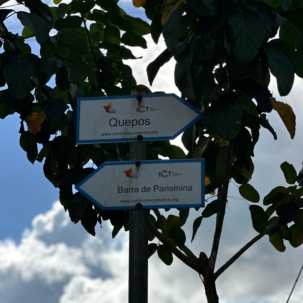
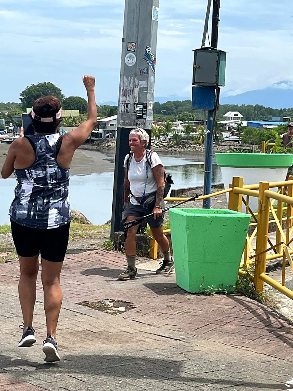
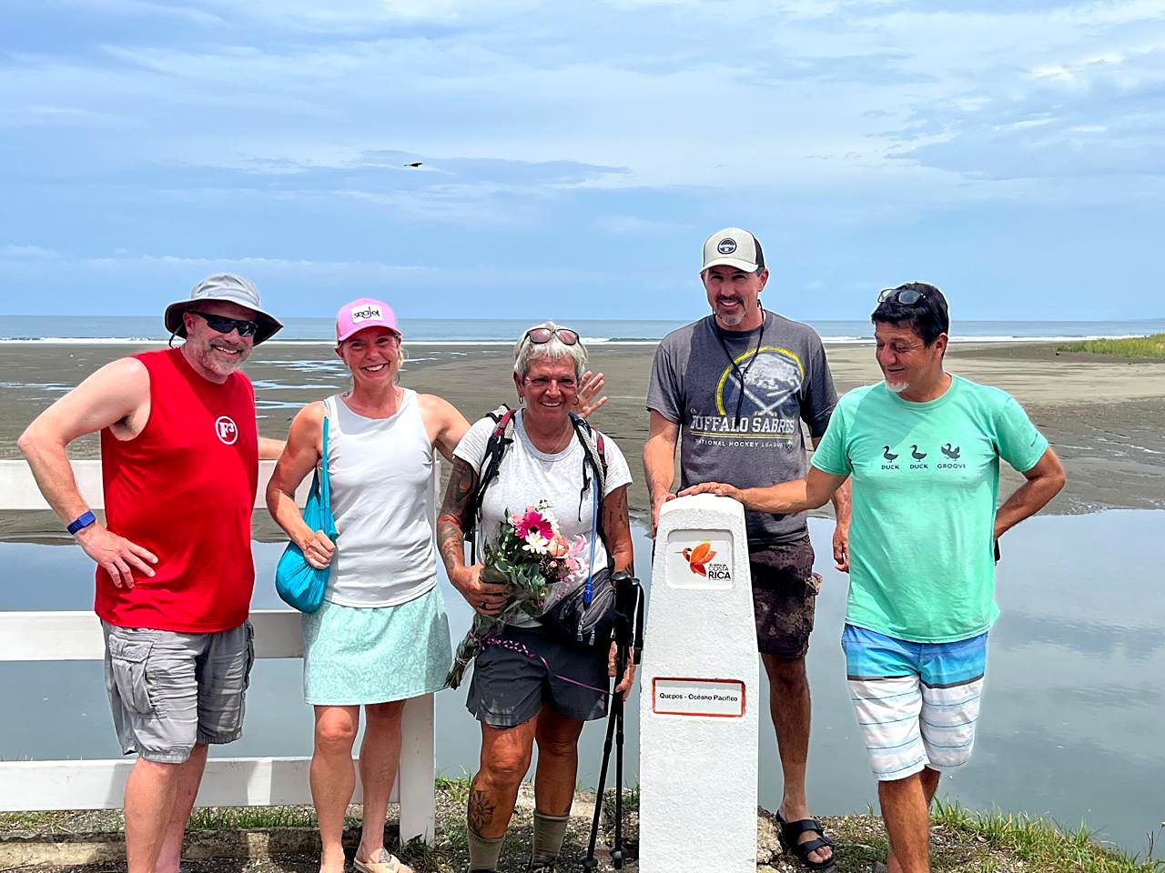
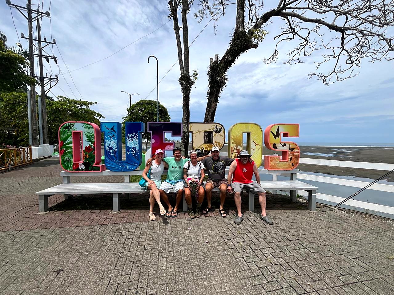
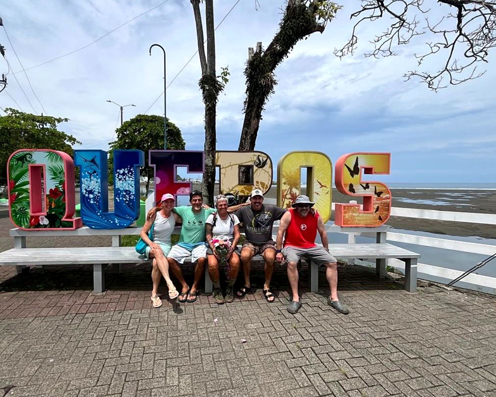
  15. Day 15 · Sea to sea. The last stage runs down from Chorro to the Pacific at Quepos. When you smell the salt and hear the surf, you have walked across Costa Rica. Your certificate is waiting, and the trip ends before lunch.Stage 16 · Esquipulas → Naranjito → Quepos · 22.4 km · 365 m up, about 580 m down · 220 m to sea level · Finish in QueposA hiker celebrating at the finish in Quepos, Day 15The group on the Quepos seafront at the PacificThe group at the Quepos sign, the end of the trekDay 15 of the Camino de Costa Rica, on the way to QueposDay 15 of the Camino de Costa Rica, on the way to QueposDay 15 of the Camino de Costa Rica, on the way to QueposDay 15 of the Camino de Costa Rica, on the way to Quepos

Who it's for

Fit walkers who want a real journey, not a race: days of 9 to 29 km, with long climbs and descents and the heat of the lowlands. You can set your own pace, and the support vehicle is never far. Families are welcome, with a slower pace when needed. For something shorter, stay with us at Chorro and ask about day hikes and rafting.

Good to know

  • You choose the dates. There are no fixed departures. Give us a couple of months' notice so we can hold the lodges.
  • Two guides. One walks with you; the other drives the 4x4 with your bags. You can also walk on your own with only the vehicle guide.
  • Getting to the start. Airport pickup, a hotel in San José and the transfer to Parismina are not included. We are happy to arrange them.
  • Hot, then cold. The lowlands run 30 to 35 °C and humid; the cloud forest and the summit can drop to 8 to 15 °C. Pack in layers and drink 3 liters a day.
  • Pack light. One medium soft bag of up to 15 kg plus a 20 to 25 liter daypack. Your bag travels in the 4x4.
  • Meals. Most days include breakfast, lunch and dinner. On Day 8 dinner is in Orosi village. Vegetarian options on request.
  • The trip ends before lunch on Day 15. We can take you to your hotel in Quepos or to the airport; tell us 48 hours ahead.

Included and what to bring

Included

  • 14 nights in private rooms at lodges chosen for the route
  • Meals as listed for each day (most days full board)
  • Bilingual hiking guides and a 4x4 support vehicle with a bilingual driver
  • Daily luggage transfers between lodges
  • All trail permits and national park fees
  • Welcome briefing, trail maps and GPS tracks
  • 24/7 emergency contact and evacuation plan
  • Celebration dinner with champagne at Chorro Ecolodge

Not included

  • International flights
  • Airport pickup, a hotel in San José, the transfer to Parismina and a hotel in Quepos after the finish
  • Travel insurance (strongly recommended)
  • Spa treatments and optional paid activities
  • Alcoholic drinks, except at the celebration dinner
  • Tips for guides and lodge staff

Bring

  • Broken-in waterproof hiking boots and trail shoes
  • A 20 to 25 liter daypack with a rain cover, and trekking poles
  • A rain jacket, a fleece, and a warm hat and gloves for the summit
  • Sunscreen, insect repellent, a headlamp and a 2 liter water bottle
  • Your passport, travel insurance and US dollars in small bills

The route, day by day

Tap a day's number or its piece of the route to see more.

Hummingbird photo: Lip Kee, CC BY-SA 2.0

Good to know before you book

How far is Chorro Ecolodge from Manuel Antonio and Quepos?

About 35 minutes by car from Manuel Antonio, a little less from Quepos, and about 4 hours from the San José airport. A regular car is fine; the last mile or so is gravel. There is parking on site, and we can arrange transfers.

What is the difference between glamping and camping here?

You sleep in a safari tent on real beds with linens, electricity and a ceiling fan, with your own bathroom and hot shower a few steps away. You still hear the river and the frogs all night, which is the point.

Is it good for kids?

Yes. Families with children from three to their teens stay with us, and the river, the waterfall pool, the hammocks and the fire pit keep them busy. The Family Glamping Tent sleeps six.

Can we swim in the river and the waterfall?

Yes. In the dry months the river has calm pools, and the swimming hole below the falls is a two-minute walk from the tents. After heavy rain the current can run too high; we will tell you where it is safe.

Are meals included?

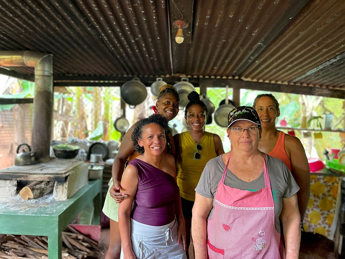
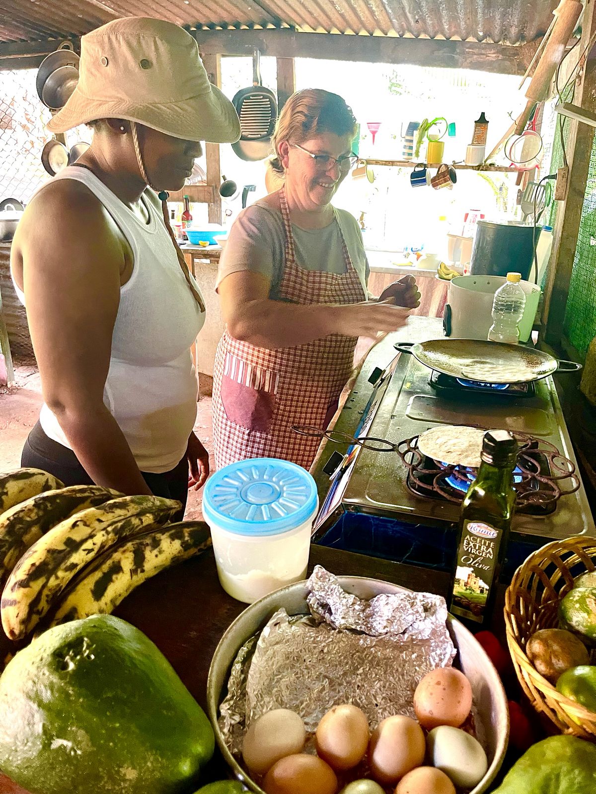
No. There is a shared open-air kitchen, and the Family tent has its own small fridge. Our neighbor Doña Luz cooks Costa Rican breakfasts and dinners at her house up the road; let us know ahead.

Getting here

Where we are

By car, no 4x4 needed: about 35 minutes from Manuel Antonio and 4 hours from Juan Santamaría airport. The last 2 km are gravel. Parking inside the property. We can also arrange transport and airport transfers.

Powered by H2O Adventures

Book now